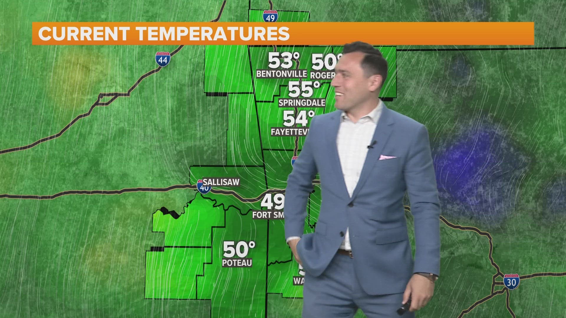
After a series of cold fronts for the last month, we’ll finally see the arrival of the true arctic air. Any moisture left in the area on Saturday and Sunday will lead to areas of light rain. The best chance for rain will be on Sunday. No severe weather is anticipated and the precipitation will be in the liquid form this weekend. Highs are expected to be in the mid 50s to near 60 with overcast skies.

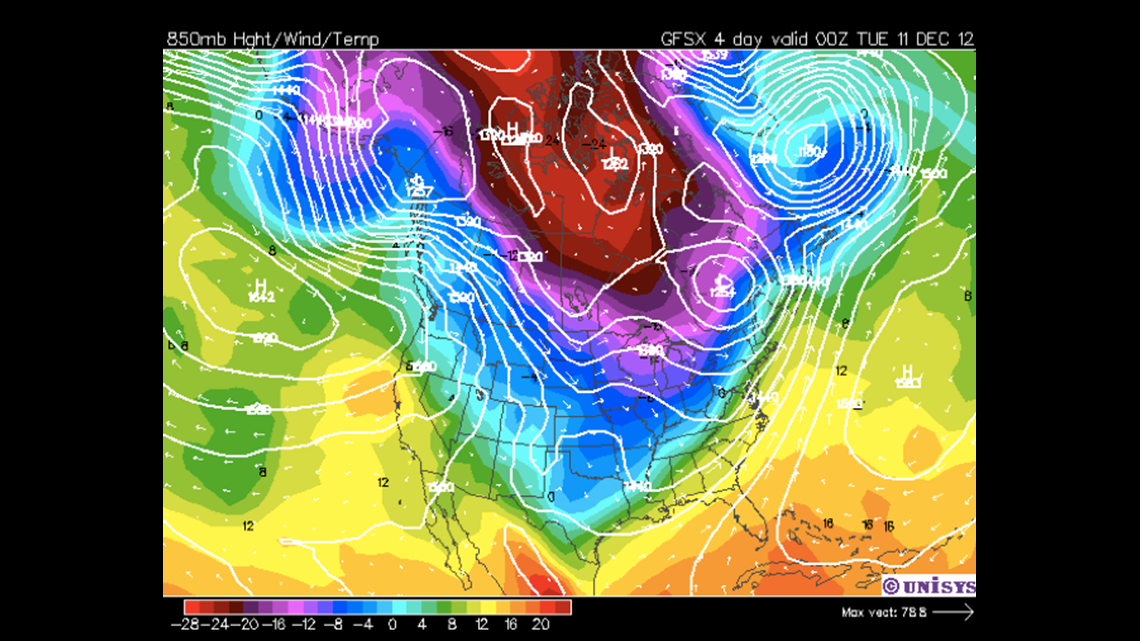
The cold air that arrives will be a big shock to the system. We’re talking about highs falling into the 30s in some areas with lows in the teens. Because there is no existing snow pack across the northern United States… the air mass will modify greatly and highs will be back in the 40s on Tuesday. A moderating trend into the 50s will take place next week with yet another push of cold air on the edge of the forecast; likely, sometime on Friday. Notice how the heart of the cold air remains centered near the Great Lakes. This location is usually where the winter time polar vortex sets up and it’s likely a polar low could be in the beginning stages. Should one develop, it would lead to the frequent bout of cold air outbreaks about once a week or more frequently.
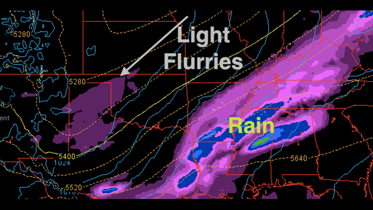
In addition o the cold air… there’s a minimal amount of moisture remaining in the middle of the atmosphere at 500mb on Monday. (See top image which depicts Monday: 6am position of rain and flurries.)

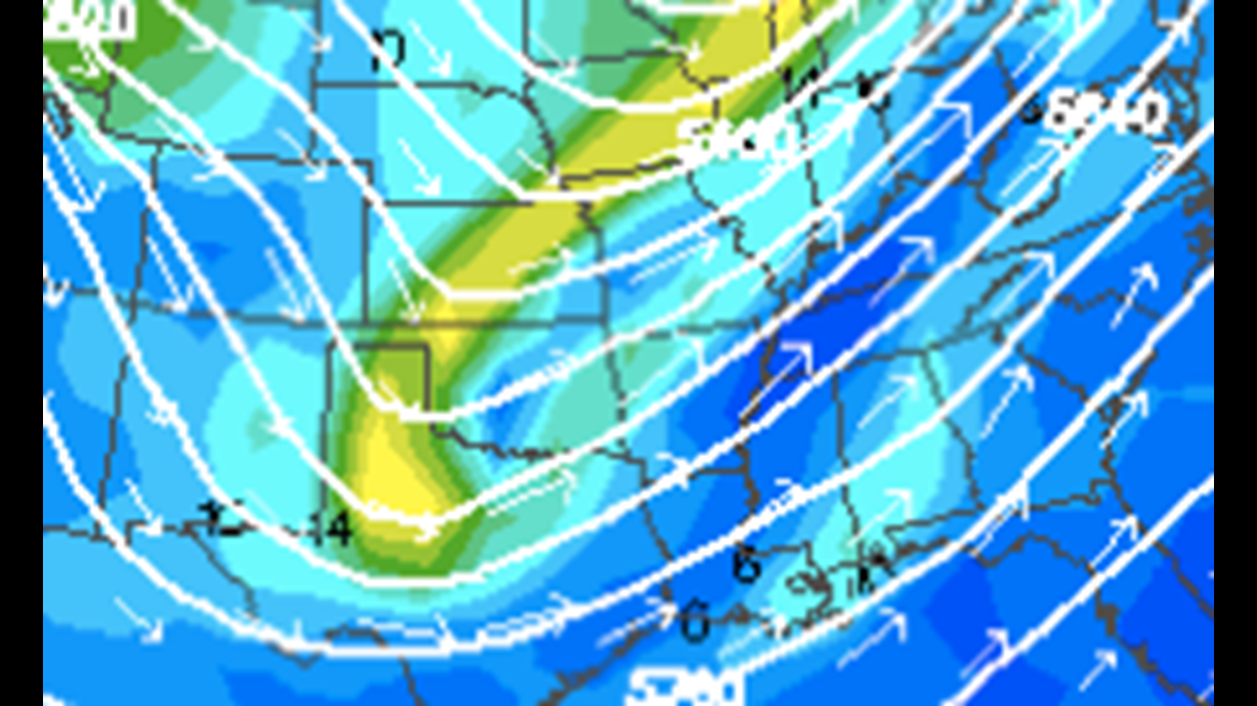
The moisture will be lifted by a weak impulse at the 500mb level as show in this image. To the east and north of the yellow colors is where an area of lift will develop. (Positive vorticity advection for the fellow weather geeks). This should lift any remaining moisture left in the atmosphere at that layer causing a few flurries on Monday area-wide. A relatively dry air mass could cause much of the flurries to evaporate and surface temperatures in the 30s will likely cause all of it to melt but it gives you an idea of how cold the air is aloft and how much of a major change we’re in for in the next few days.
Garrett