An arctic front moving into the area will arrive later this evening with a narrow band of light snow and bitter cold temperatures heading into Monday.

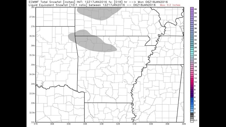
The best chance for any accumulation will be in NW Arkansas. This image shows possible light accumulation in the Ozarks.

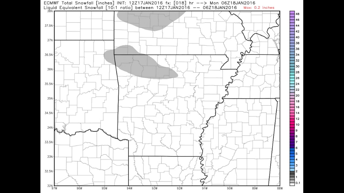
Similar data highlights the low possibility for any significant amounts.

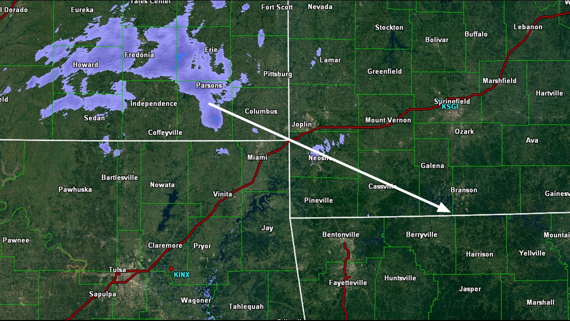
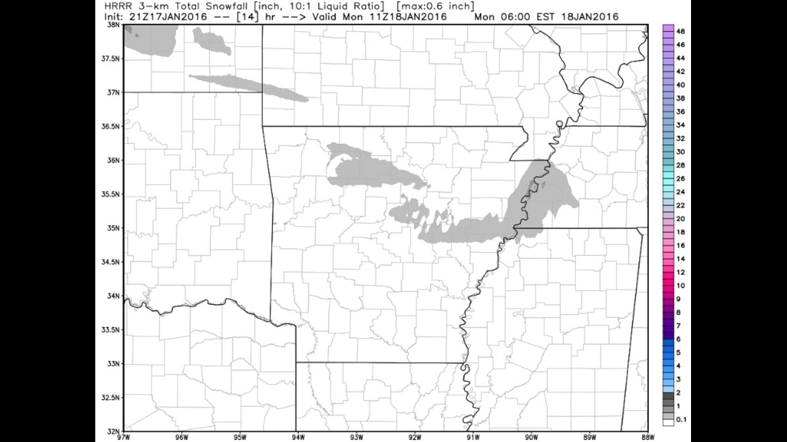
Radar data late Sunday showed the small band of snow associated with the arctic front in Kansas moving towards NW Arkansas.
More chances for rain or snow will be in the forecast for midweek as well.
-Garrett