We’ll have a break in the active pattern before more rain moves in soon.
Here are the main takeaways:
- Rain late Friday night around midnight (not severe)
- Few showers Saturday evening (not severe)
- Cold rain Sunday afternoon (not severe)
- Heavy rain along a warm front Monday. Severe. Hail primary threat.
- Thunderstorms Monday evening into Tuesday. Severe. Hail, Wind, Tornadoes all a threat.
- Flash Flooding could be an issue next week.
In the short-term, it’ll be cool (almost chilly) on Friday morning with temperatures in the 40s and 50s.
Expect sunny skies in the afternoon with highs back into mid to upper 70s.

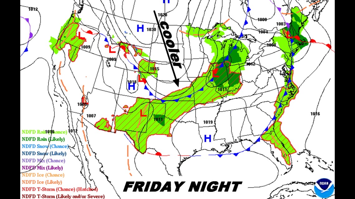
Late Friday night, a cold front will sweep across the area with temperatures falling into the 60s and plenty of clouds continuing into the weekend.

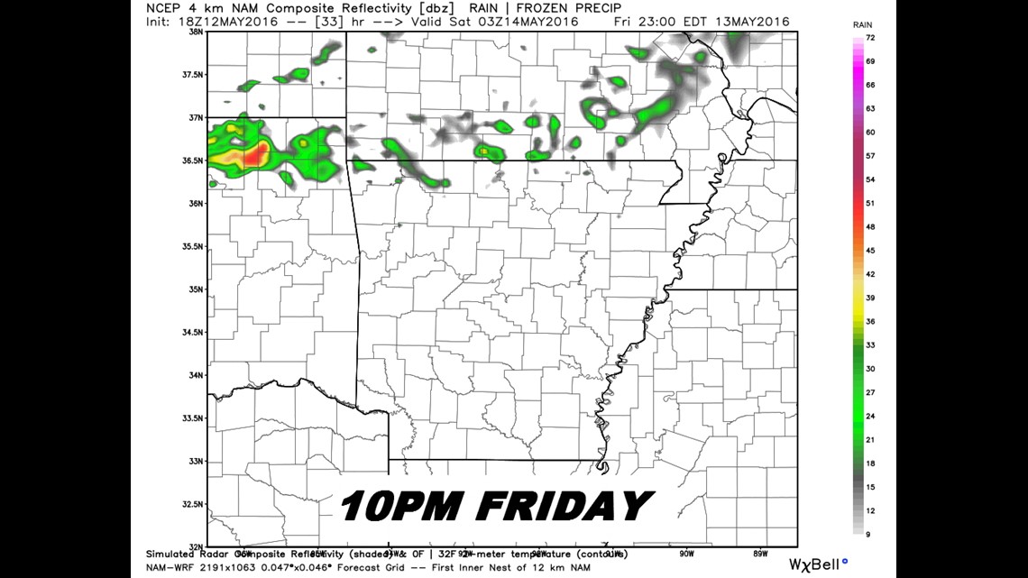
The latest data has a few showers moving in along the front around 10pm.

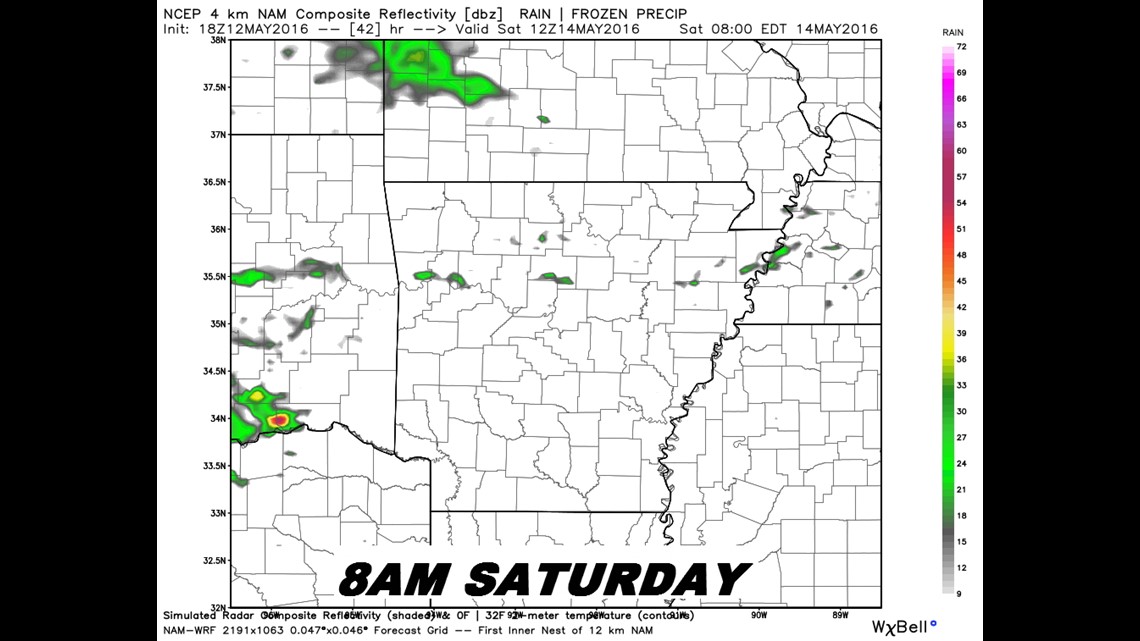
Cloudy but not many showers Saturday morning.

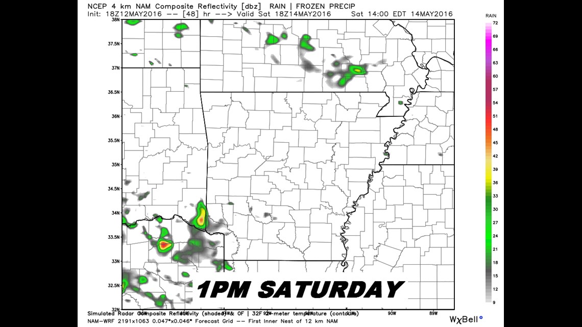
Mix of sun and clouds, most of us dry on Saturday afternoon.

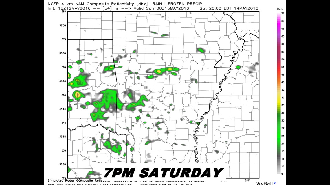
Scattered rain will be in the area on Saturday, it won’t be nonstop but it’ll be out there.
Expect heavier rain on Sunday and especially moving into Monday of the upcoming week.
-Garrett