On Wednesday morning, a complex of storms will be located across Kansas and Missouri. This complex will come very close to NW Arkansas. At a minimum, we’ll see an increase in cloud cover but it’s also very possible that an outflow boundary from the rain farther north will move into our area and generate scattered showers or thunderstorms in the early afternoon time frame.
The uncertainty is high on how far south this boundary will go but it’s safe to say showers and thunderstorms will redevelop along the boundary in the afternoon on Wednesday.

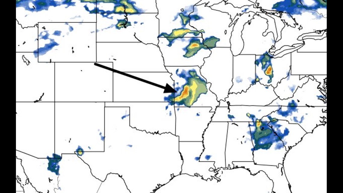
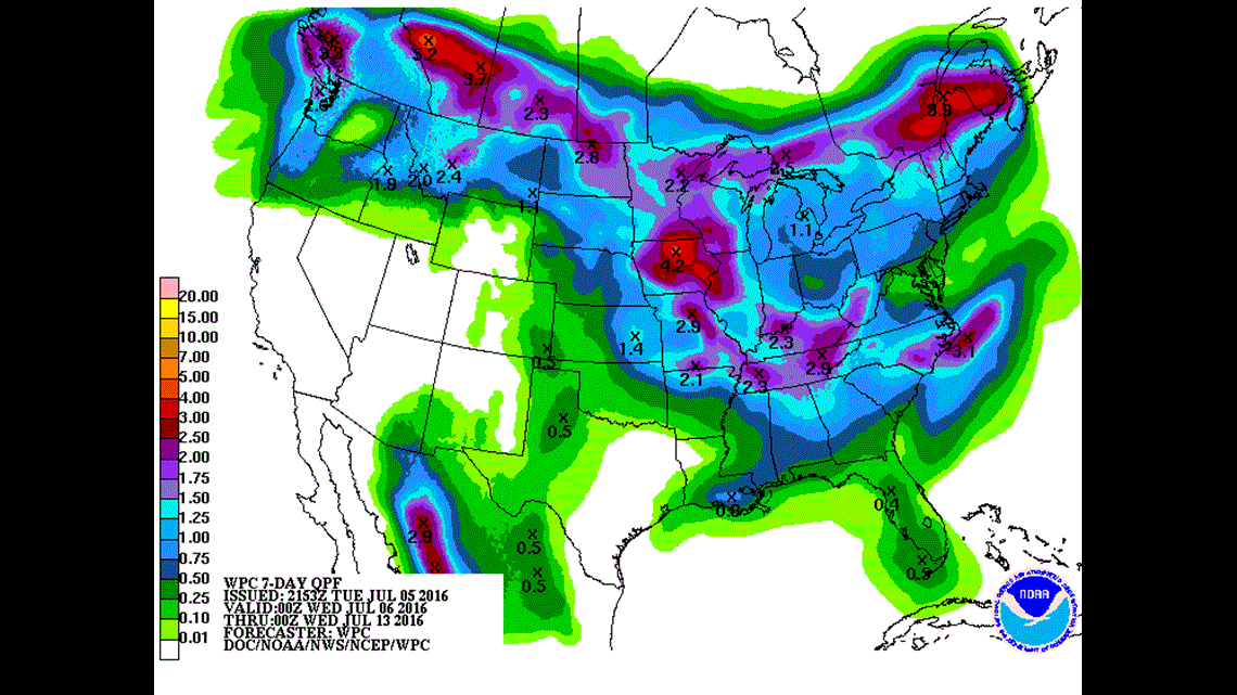
This is the position of the rain on Wednesday at 1pm. The boundary could be pushed a little farther south and drive the rain chances a little more into the River Valley if that occurs.

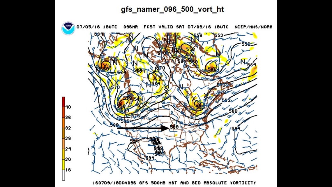
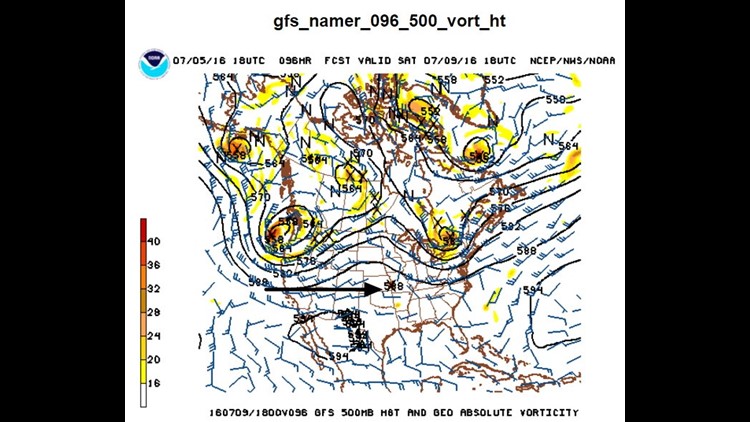
There’s another system that will arrive in the area over the weekend kicking off more showers and thunderstorms.
The best chance appears to be on Saturday morning but storms could redevelop in the afternoon and then again on Sunday.

The highest rain chances and rain totals tend to favor NW Arkansas more than the locations farther south.
The risk of severe weather remains minimal; however, downpours will be locally heavy at time and could cause isolated flash flooding.
-Garrett