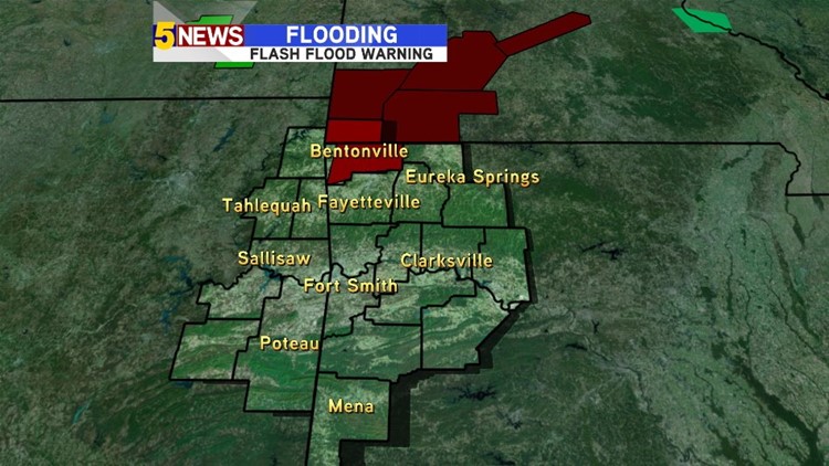
Showers and thunderstorms have developed again across parts of the area as a front moves in from the north. A Flash Flood Warning is in effect for Benton County where as much as 2″ of rainfall has fallen this afternoon. The warning expires at 8:pm Friday.

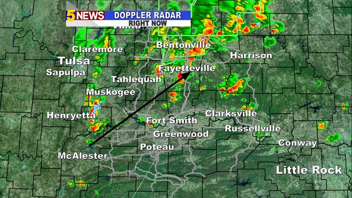
Radar Image at 4:42pm Friday. Storms moving northeast.
The cold front is not fast-moving, nor is it really that cold behind the front. The result will be a few more rounds of locally heavy rainfall. Yes, the storms are scattered so not everyone is seeing the rain but the rain will be a possibility tonight into Saturday and then again over the weekend. On Sunday, it appears some of the higher chances for rain will be along and south of I40.

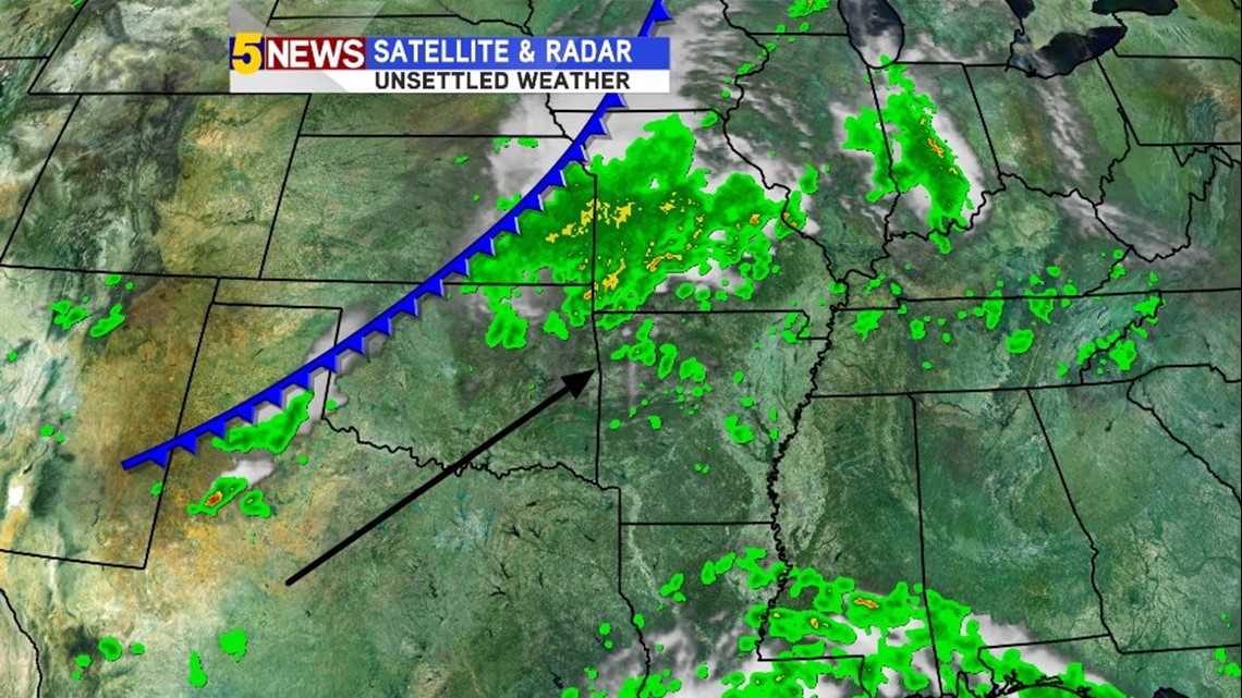
This is a look at the current weather map across our area. The front is positioned across Kansas and NW Oklahoma and will slowly sag south into our area.

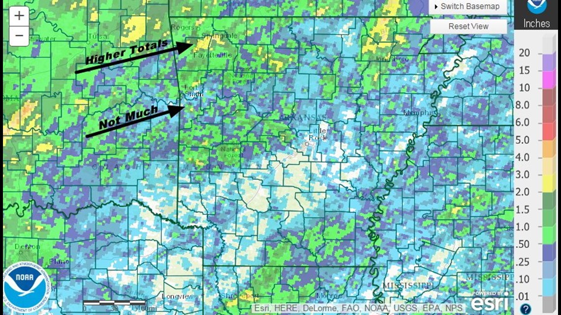
This is a look at rainfall for the last week. Rogers & East Fayetteville are nearly 4″ of rain for the week.
Farther south, we haven’t seen as much with less than 1/2 inch for places like Fort Smith or Pocola.
Next week, high pressure takes over and the heat returns. It still looks like a significant cold front will arrive by next weekend.
-Garrett