It’s been a chilly, raw day across the area with temperatures hovering in the 50s and 60s with overcast skies. The lowest cloud deck is around 900ft above the surface in NW Arkansas and around 1300ft above the surface in Fort Smith. The result is one of those overcast days where it looks like it could rain at any minute. Rain chances pick back up this evening into tomorrow morning.

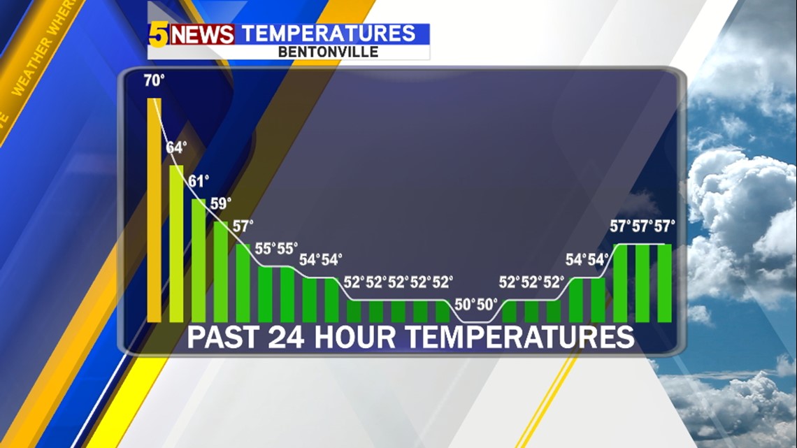

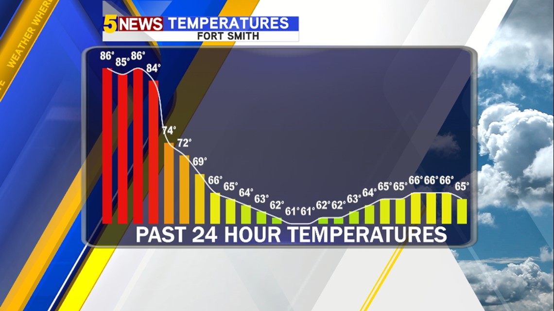
You can see the drop off over the last 24 hours with very little change from this morning into this afternoon.

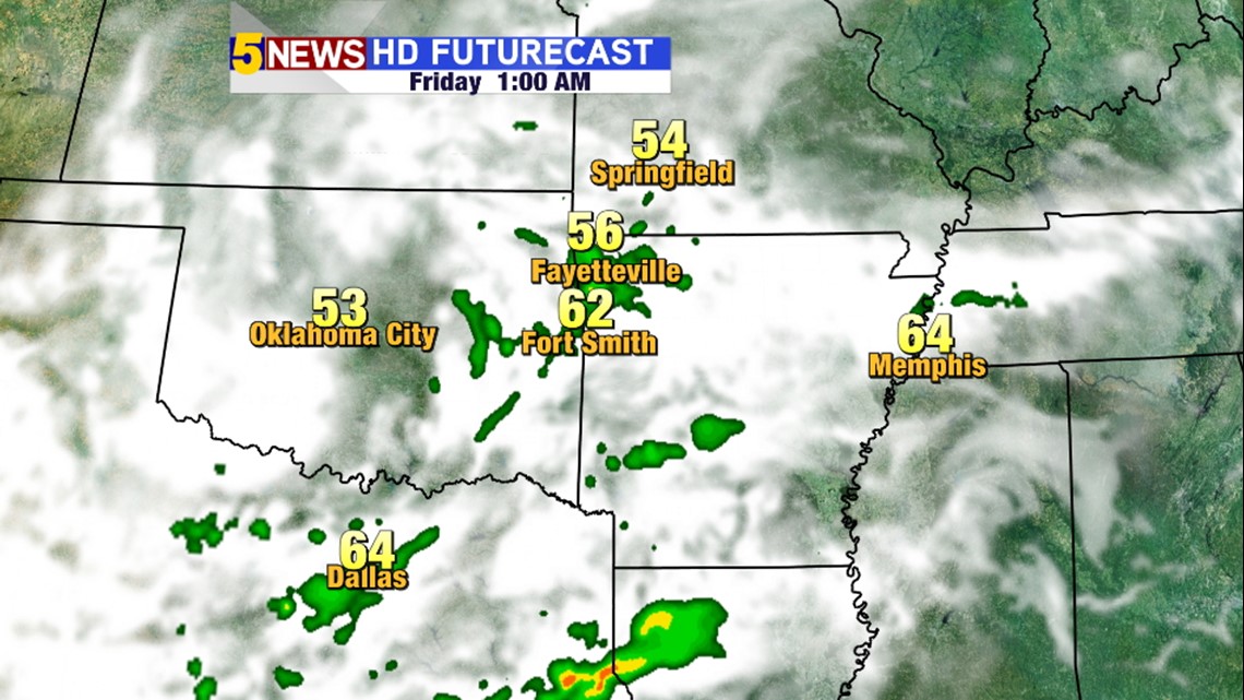
1AM FRIDAY: Showers from Oklahoma will be moving into Arkansas overnight into Friday morning.

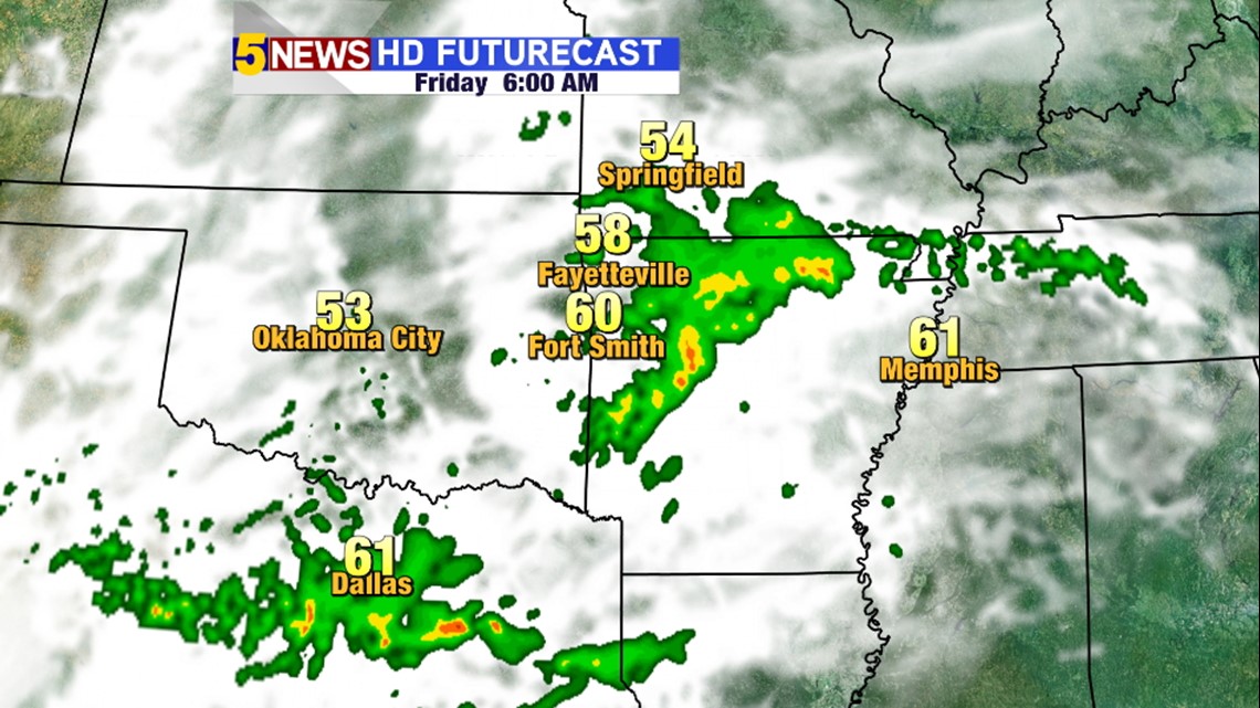
6AM FRIDAY: Rain will still be in the area early in the day on Friday. Most of the rain will be out of the area around Noon on Friday.

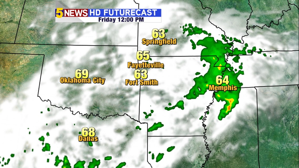
NOON FRIDAY: Cloudy skies continue but the heaviest rain should be out of the area.

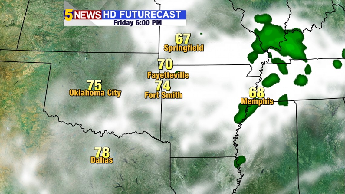
6PM FRIDAY: Mostly cloudy skies will continue into the evening but rain should out of the area for area football games.

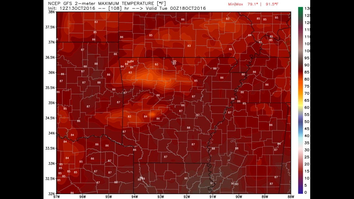
This is a look at forecast temperatures on Monday. Despite the cool weather we should be back into the 80s to near 90º on Monday of next week.

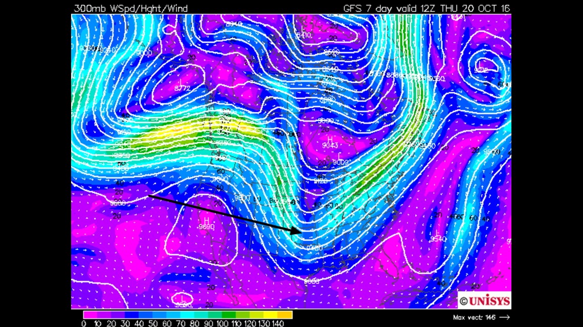
So when’s the next cold front? Long range data suggests it’ll be around next Wednesday or Thursday around Oct 19th/20th with colder weather for next weekend.
-Garrett