The coldest air in years is set to arrive on Saturday evening with temperatures falling into the single digits for lows, 20s for highs, and dropping wind chill values as low as -10º.

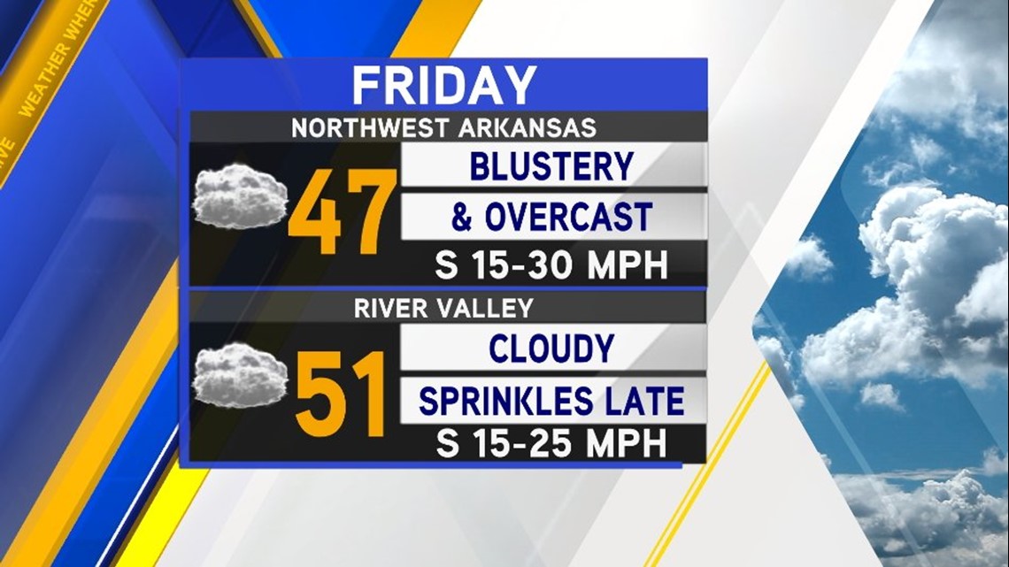
Friday will be the day of transition with blustery south winds developing in advance of the nearing cold front. Some gusts could top 30mph on Friday afternoon.

On Saturday, the front will be moving across Kansas and Oklahoma and into our area. It should begin to push across the region in the afternoon.

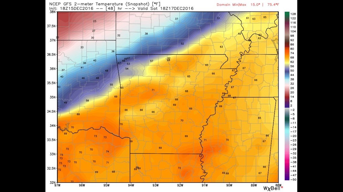
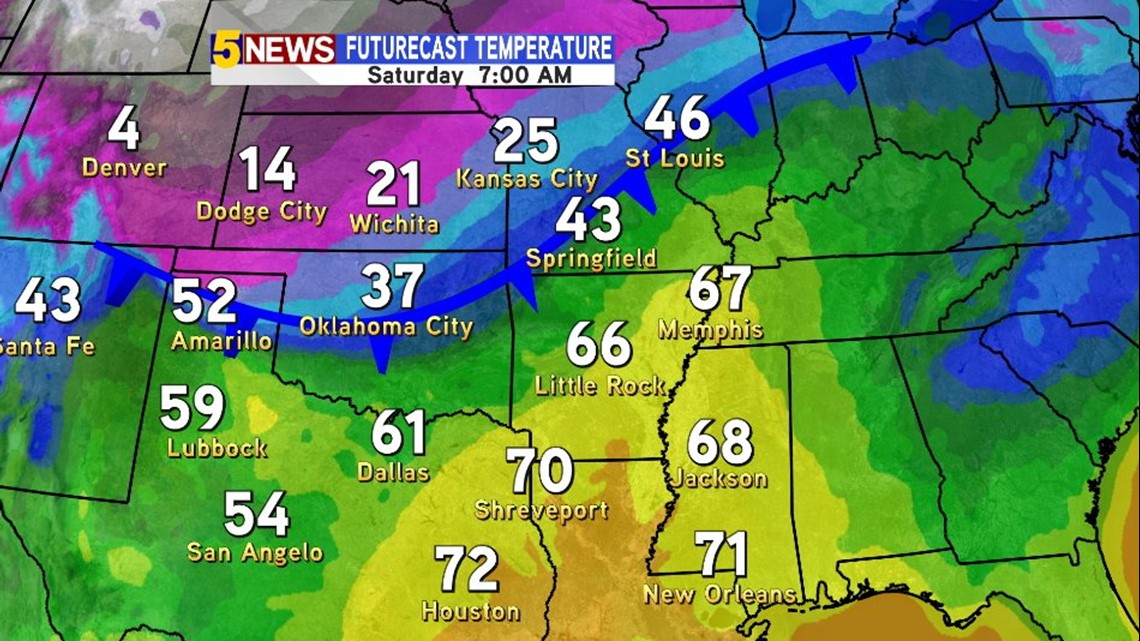
This map shows Noon Saturday. This data actually shows some highs hitting 71º near Russellville before the front plows in by evening.

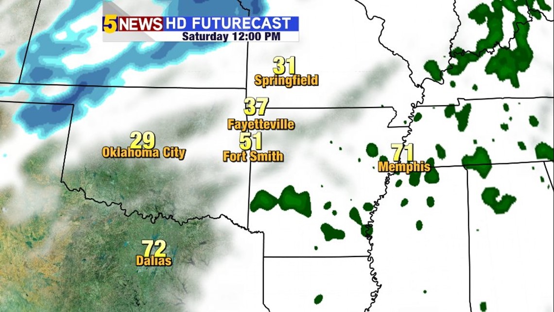
Here’s another depiction of Noon Saturday. Notice the snow developing to the northwest.

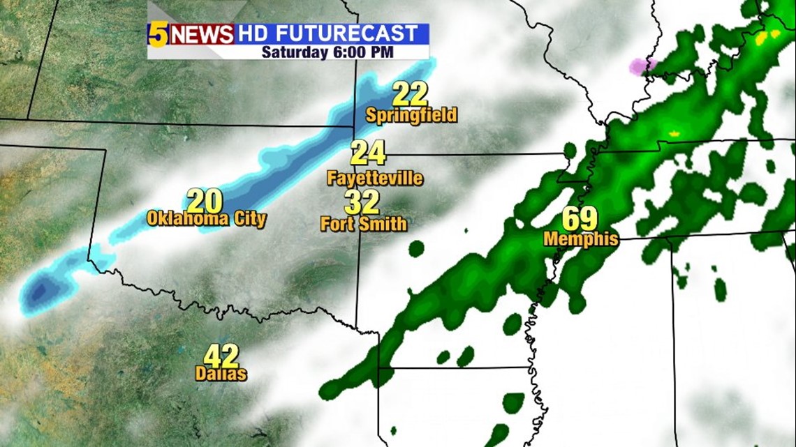
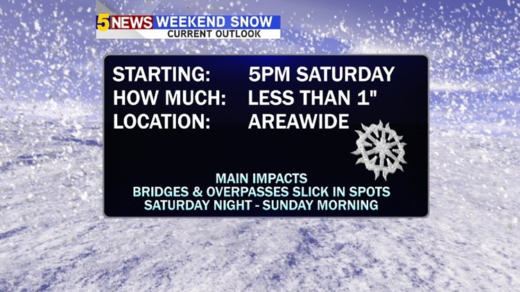
By 6PM Saturday, the light band of snow should be moving southeast and into our area. Temperatures will be falling and should be cold enough to allow freezing on bridges and overpasses Saturday night.


Generally, snow totals should remain less than 1″ and many spots won’t even see that much.

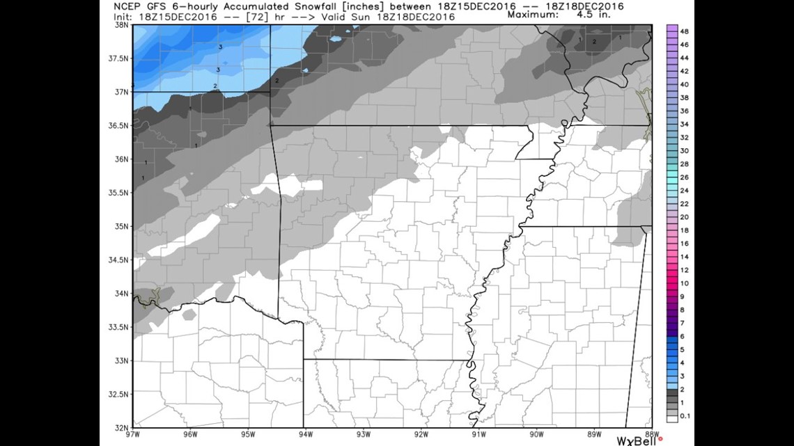
Data so far has been remarkably consistent in keeping the 1-3″ band just to our immediate northwest.
This map shows trace amounts to 1″ of snow possible in Benton Co.

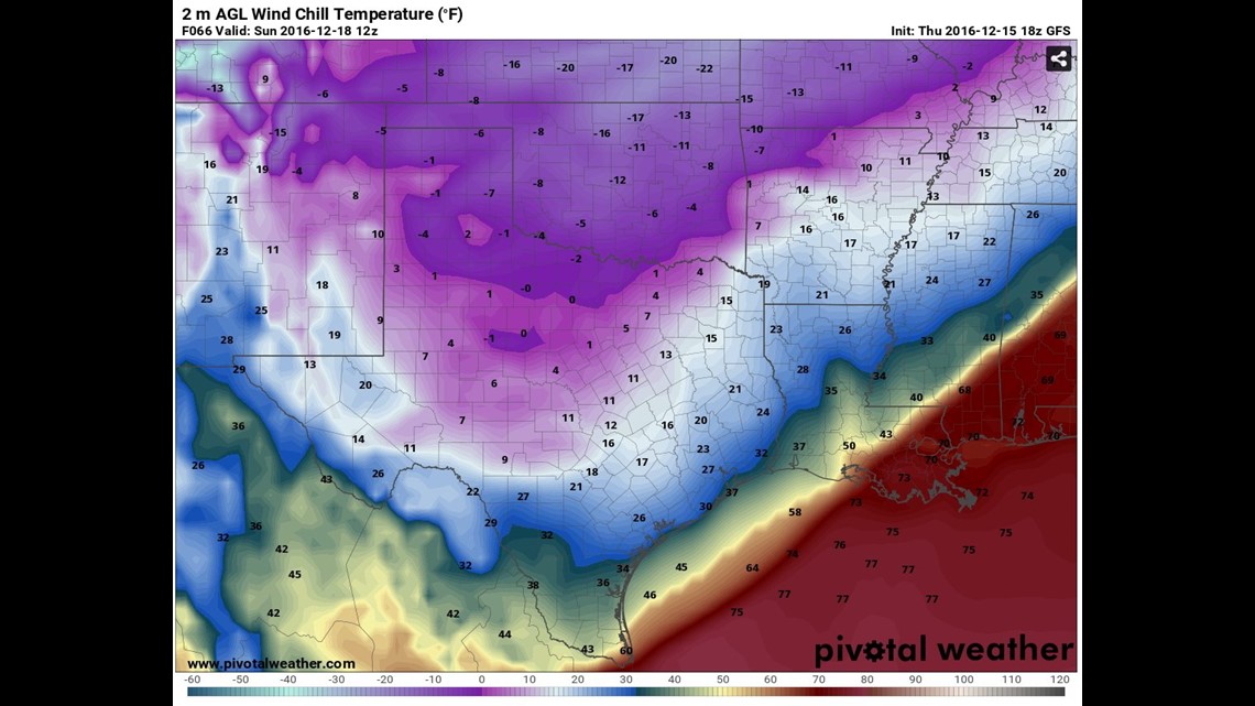
The next story to unfold will be the wind chill which could be as low as -10º. This map shows the wind chill on Sunday morning at 6am.
Bottom line: Major cold outbreak. Probably some snow, icy spots on bridges & overpasses but it’ll tough to build a snowman or sled.
Thawing is expected with 40s back by the middle of the week.
Garrett