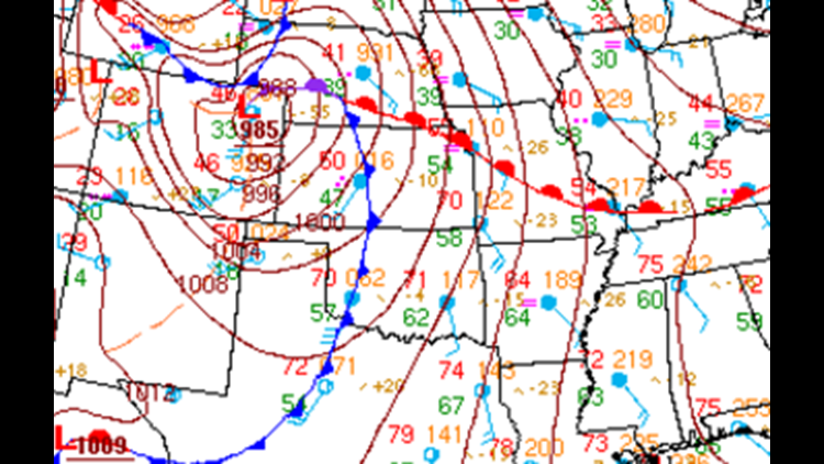
Temperatures continue above normal across our area with a warm front located to our north and our area under the influence of unseasonably warm south winds pushing temperatures to near 70º.
A cold front was located to the west of our area and will arrive later this evening with showers and thunderstorms developing along the front.

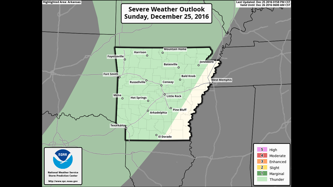
The severe weather risk has been downgraded and continues to be very low. While thunderstorms are likely, the risk of strong damaging winds is low.

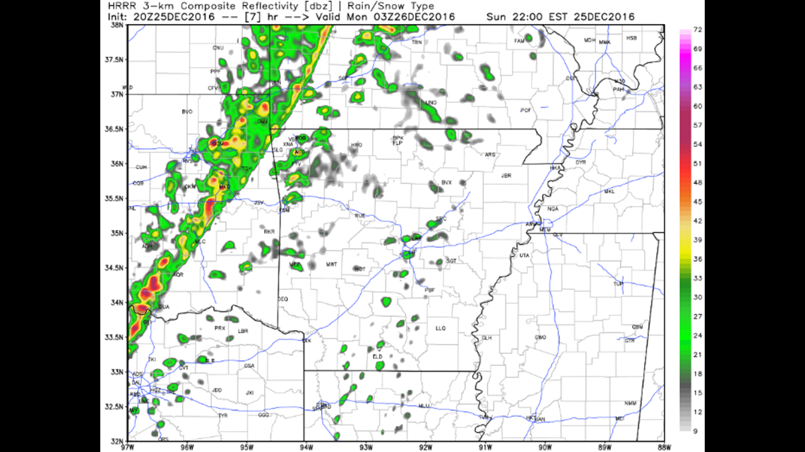
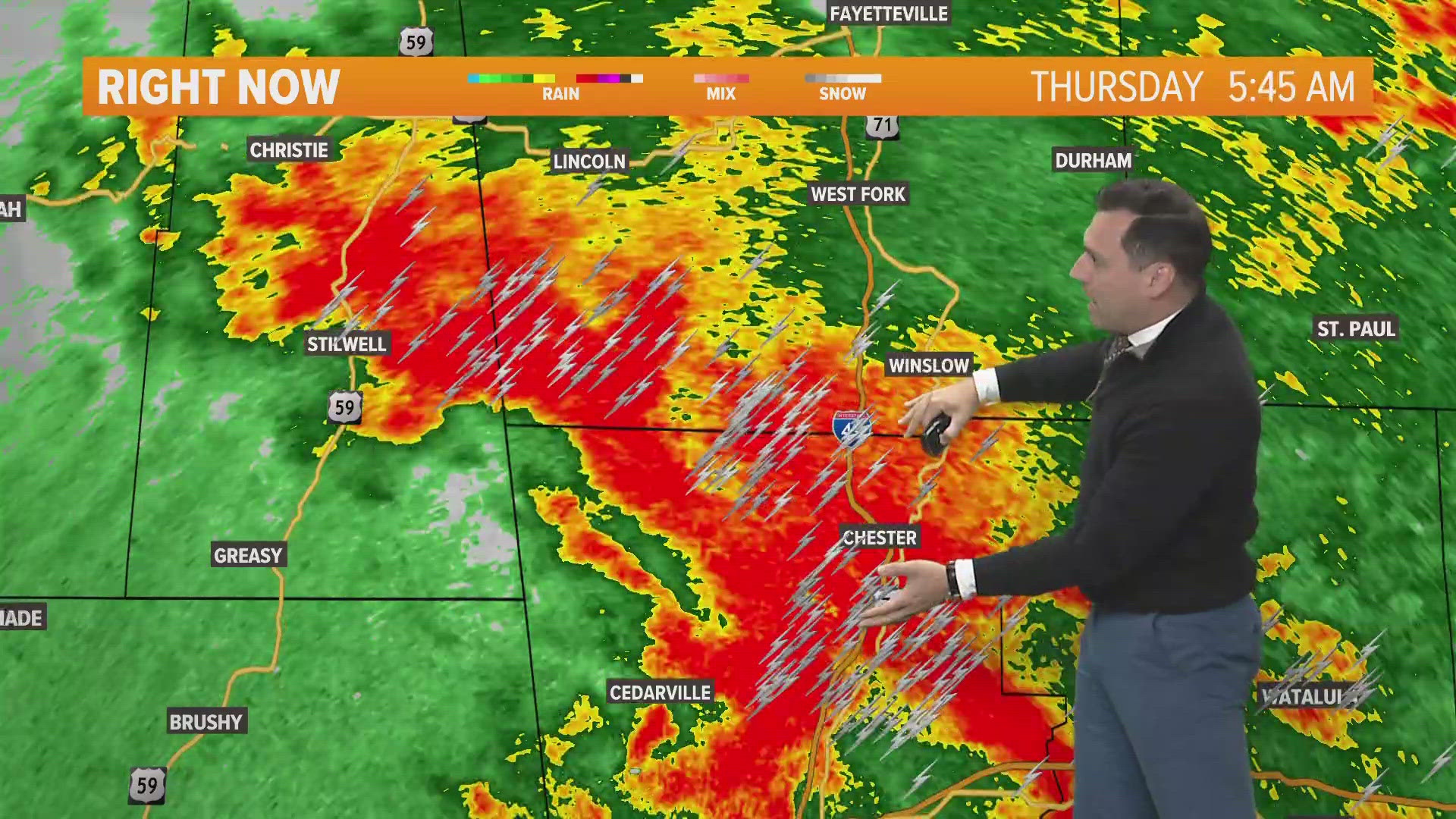
9PM Christmas: A line of storms out west will be arrive from Oklahoma and get into our area late tonight.

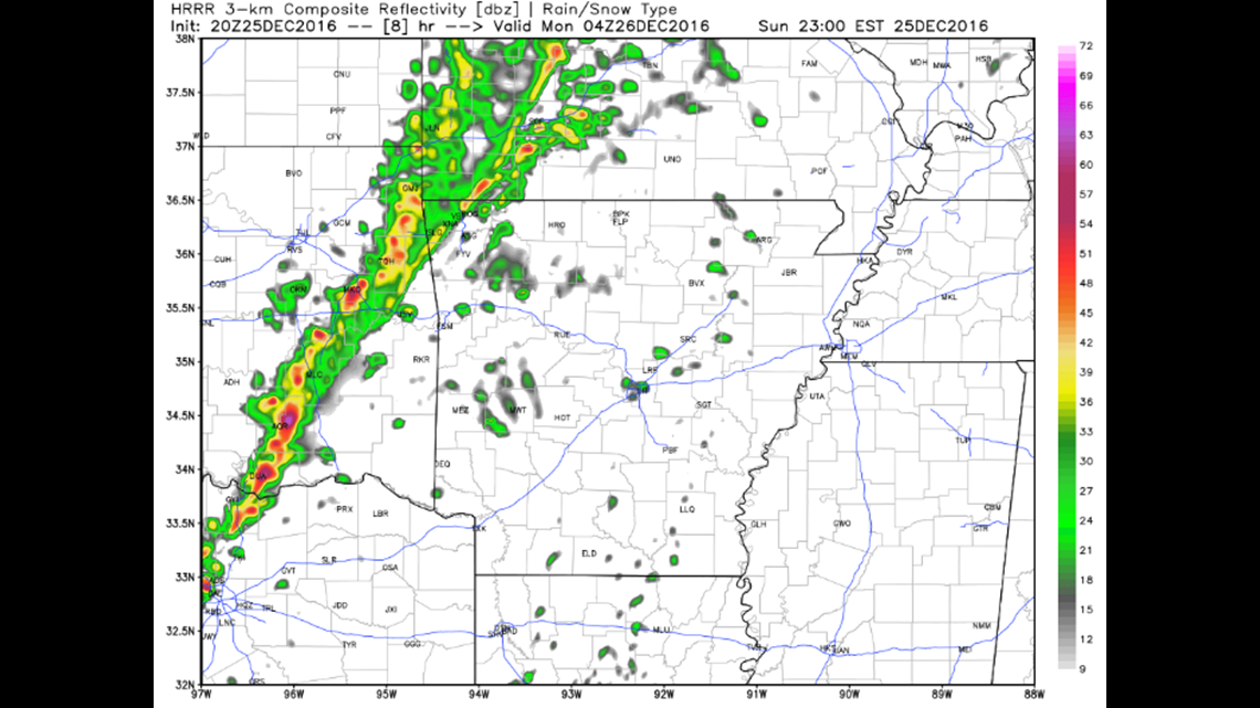
10PM Christmas: Expect storms to arrive in NW Arkansas.

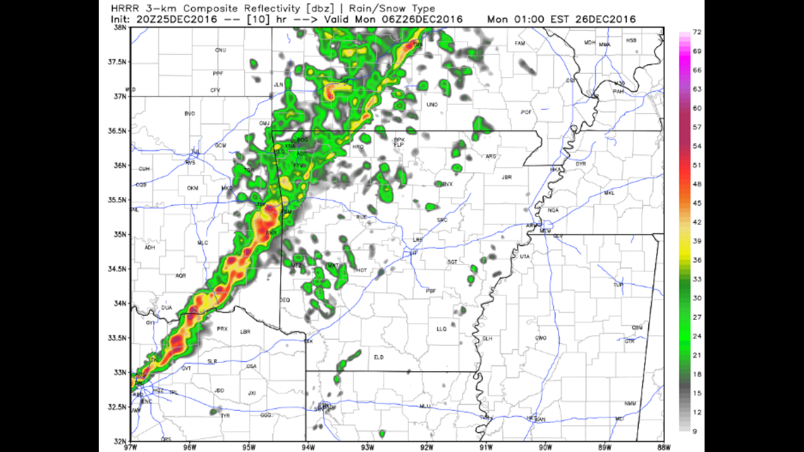
Midnight: Thunderstorms will move across NW Arkansas and should be arriving across the Greater Fort Smith area. The storms should be gone by Monday morning with more seasonable temperatures in the 50s.
-Garrett