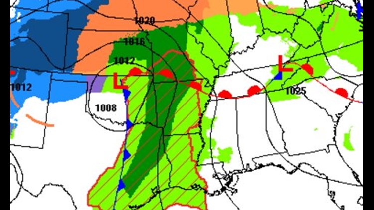
Heavy rain continues to shift east across the area with occasional embedded thunderstorms. Rainfall totals will be in the 1-2″ range when the storm system ends sometime Monday afternoon.

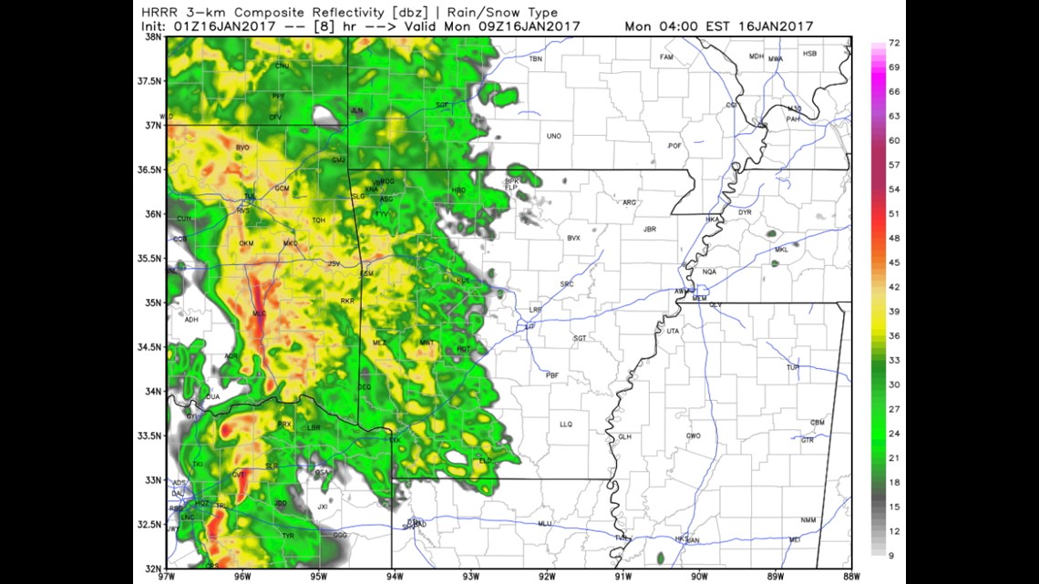
The latest data shows the heaviest showers and thunderstorms in the area around 2am-5am on Monday. This maps shows 3am on Monday morning.

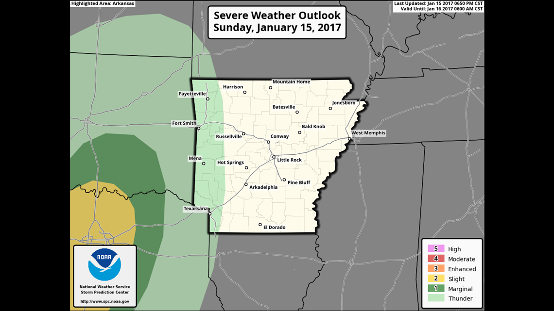
The highest severe risk is for NE Texas on Sunday night, including the DFW area.

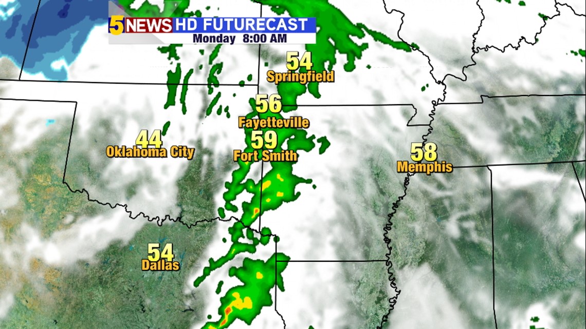
Rain will continue for the Monday morning drive but will be tapering off as the day progresses with partly cloudy skies and even some sunshine in the late afternoon.
The next chance for rain appears to be a very small chance and probably around Thursday of this upcoming week, otherwise it looks relatively uneventful.
-Garrett