
Active weather returns with another possibility for severe weather as early as Tuesday eventually resulting in a front passing across the area on Wednesday with the highest risk of severe late day on Wednesday.
There should be two rounds with this event:
- Tuesday Night 11pm into Wednesday AM
- Storms occurs as a warm front moves across the area
- Hail will be the main risk
- Wednesday Night
- Widespread severe weather; including tornadoes
- Probably starting late evening and continuing into the overnight.


Tuesday morning you’ll see thunderstorms developing in Oklahoma and spreading northeast.

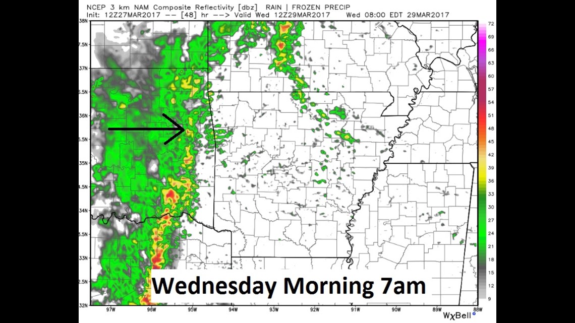
We should get another round of showers on Wednesday morning with a lower severe risk.

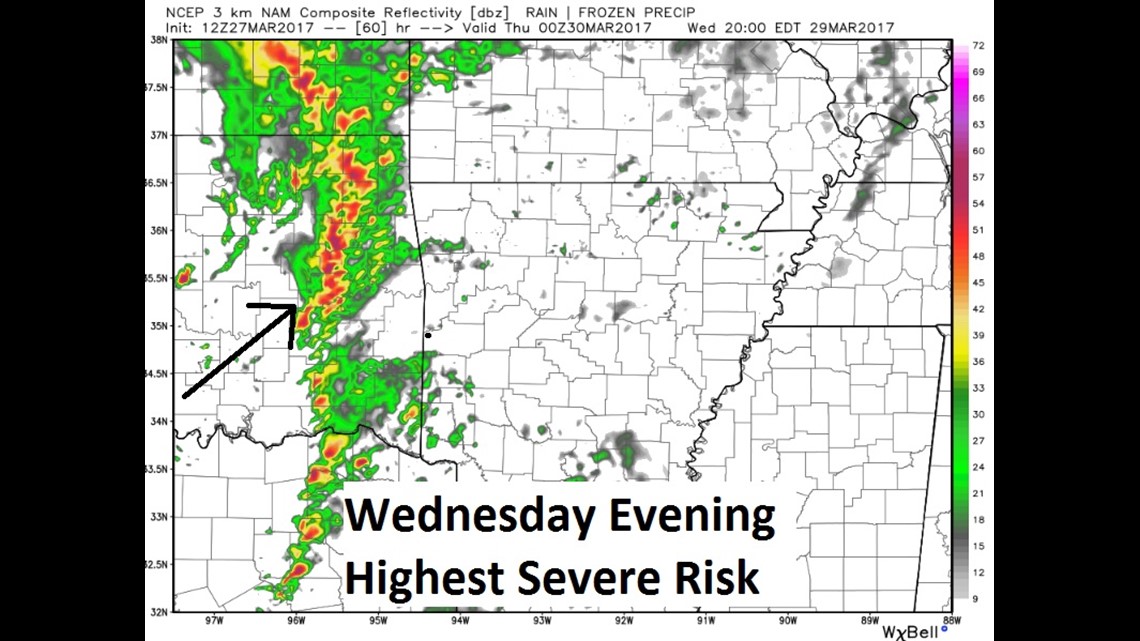
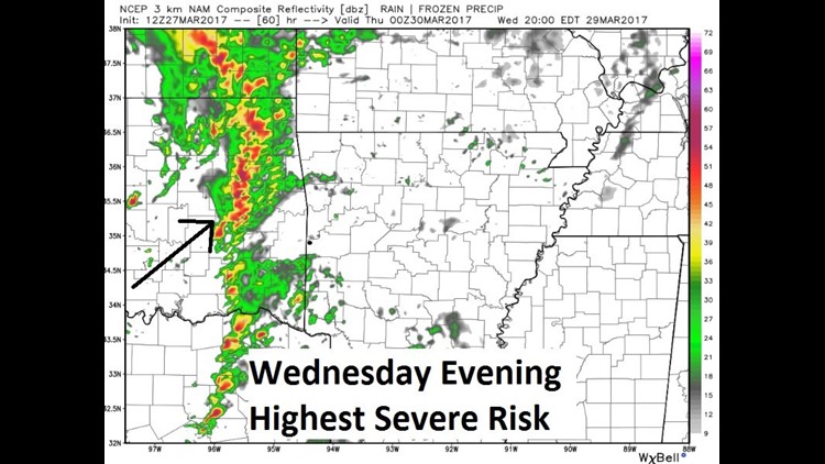
This is the highest risk of severe weather on Wednesday evening.
Tornadoes, damaging winds, and large hail will all be possible.
-Garrett