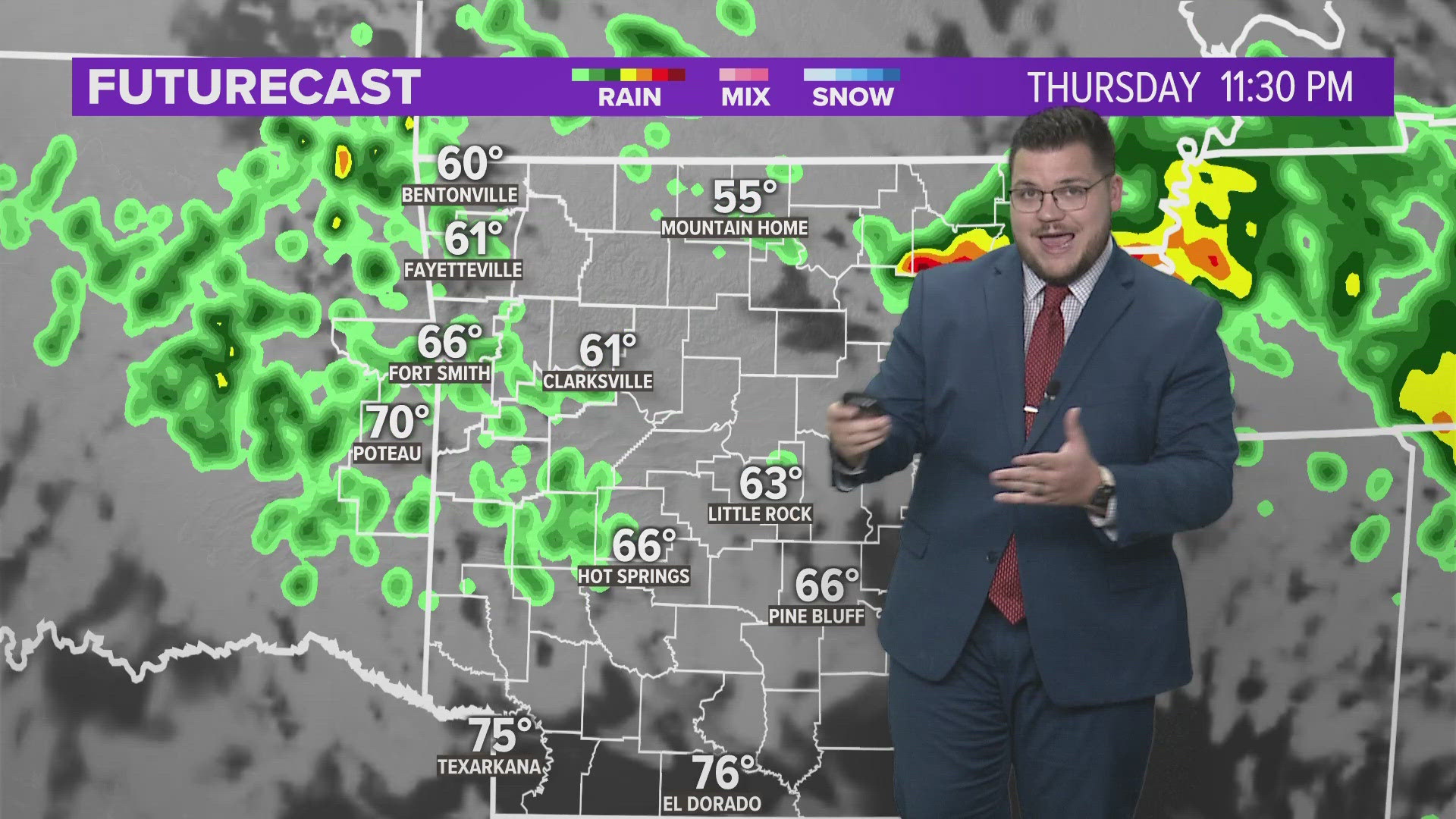
Temperatures continue to run near normal on Thursday in advance of the next complex that will arrive into Friday morning with more scattered showers and storms expected Friday as well as much cooler temperatures.
Of the two weekend days… Saturday appears driest, and Sunday looks wettest.
The first complex will largely miss our area to the west with storms in Oklahoma tracking southeast .

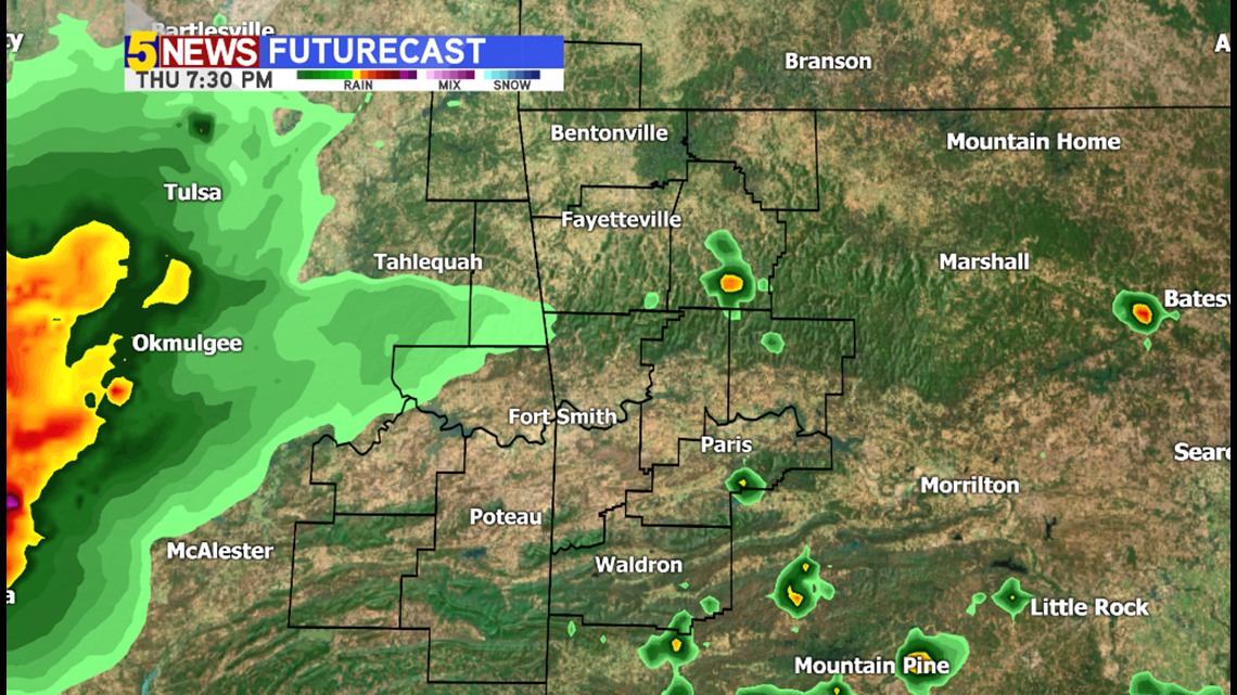
This is HD Futurecast for 7:30pm Thursday with the complex west of Okmulgee moving towards McAlester.

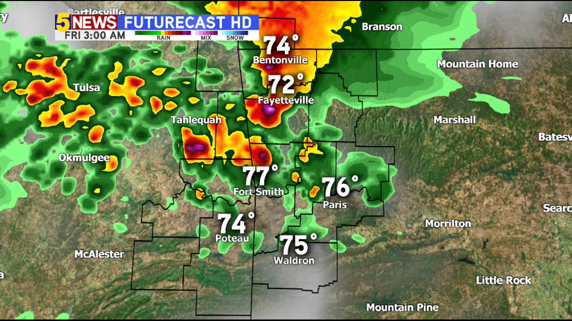
3AM FRIDAY: The next complex should be underway in NW Arkansas with heavy rain likely.

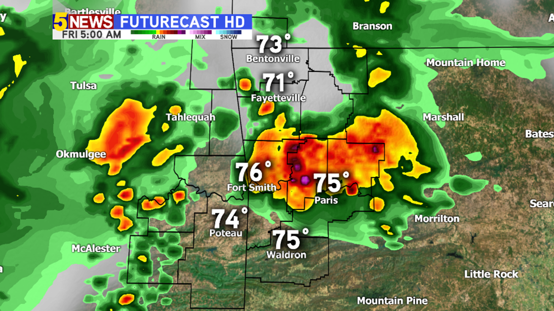
5AM FRIDAY: Scattered showers and thunderstorms are likely across much of the area with a diminishing trend in NW Arkansas and more rain likely in the Fort Smith area.

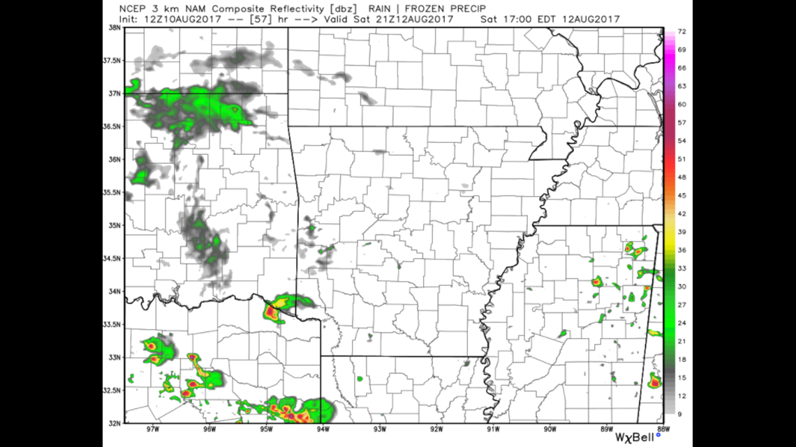
SATURDAY 4PM: It looks like there will be a break from the widespread rain on Saturday although a few scattered showers will still remain possible. It doesn’t appear to be well-organized on Saturday.

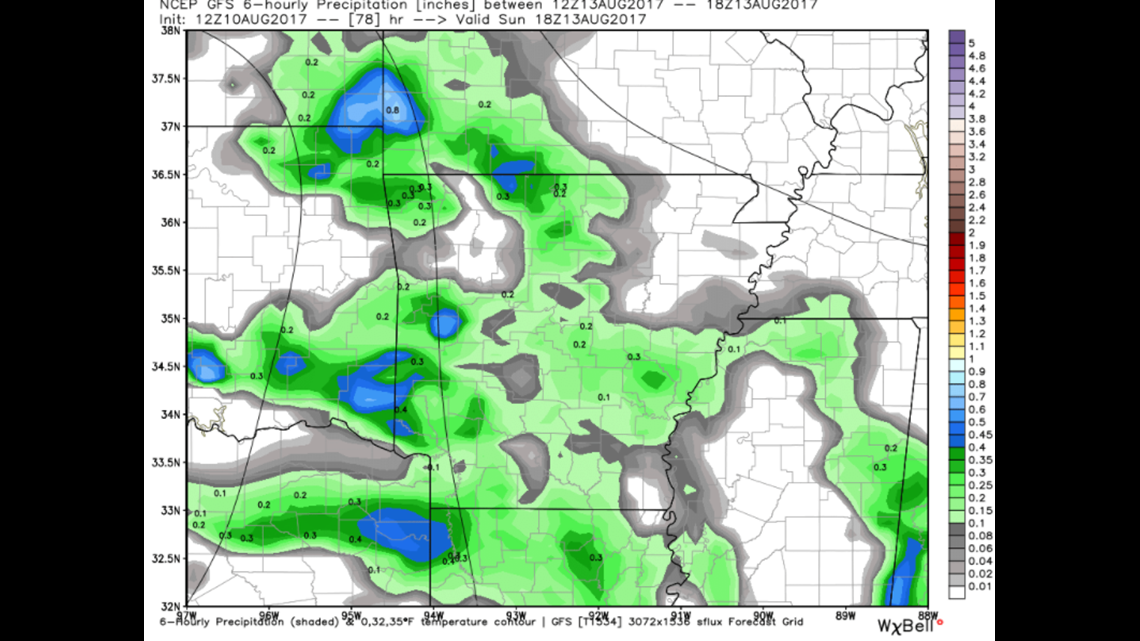
SUNDAY 1PM: Heavy rain is likely on Sunday with a complex arriving from the northwest and affecting most of area into Monday. The rain will be heavy at times and flash flooding could be an issue.

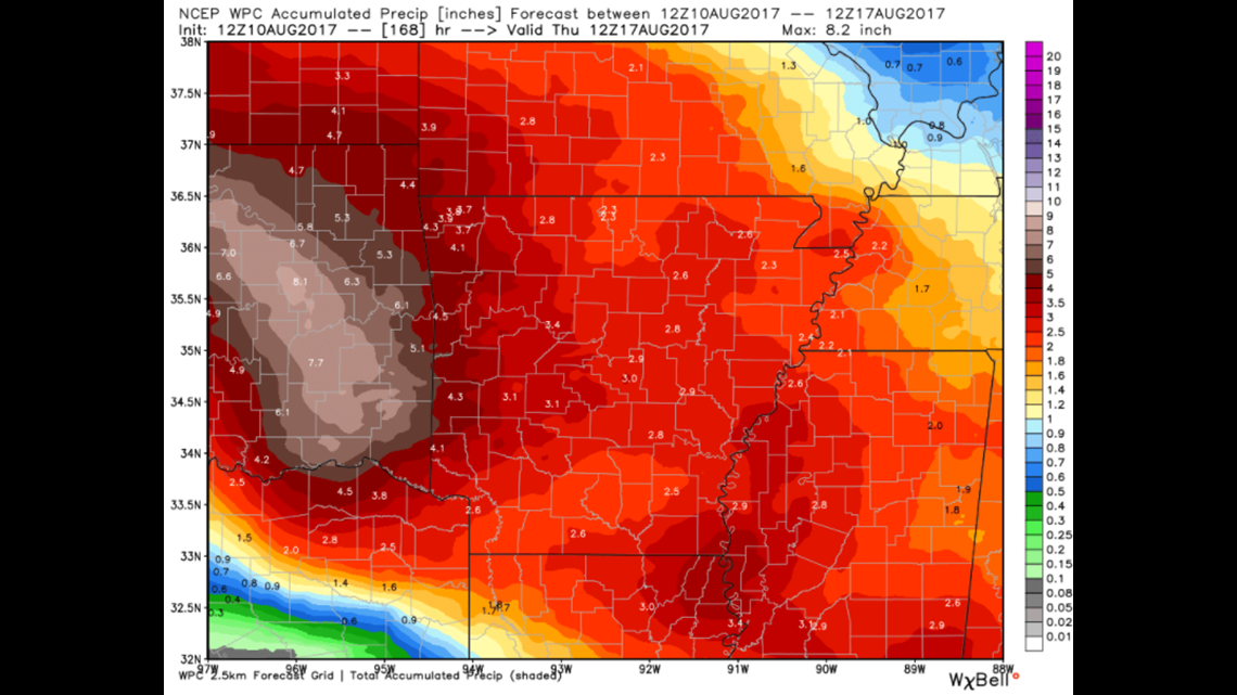
This is a week-long rainfall estimate with totals locally averaging around 3-4″ with much higher rainfall totals in Eastern Oklahoma where upwards of 5-8″ will be possible.
-Garrett