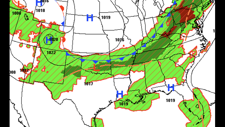
A brief break from the humidity arrives late on Tuesday with a cold front sagging into our area from the north to the south.
Scattered showers and storms will develop along and ahead of the front. The main concern with the front will be locally heavy rainfall, although it’s possible a few of the storms with peak daytime heating along the front could be on the strong-severe side.

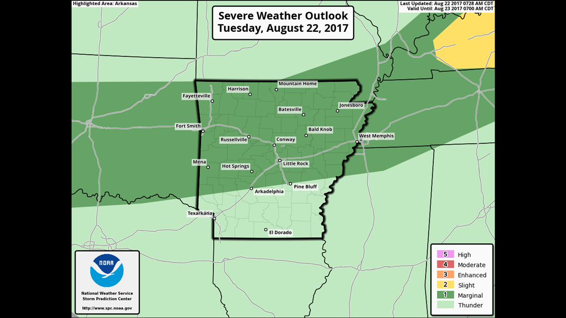
The severe weather outlook for Tuesday shows only a marginal risk of severe weather across Arkansas and Oklahoma. On a scale of 1-5 with 5 being the worst, this is a 1.

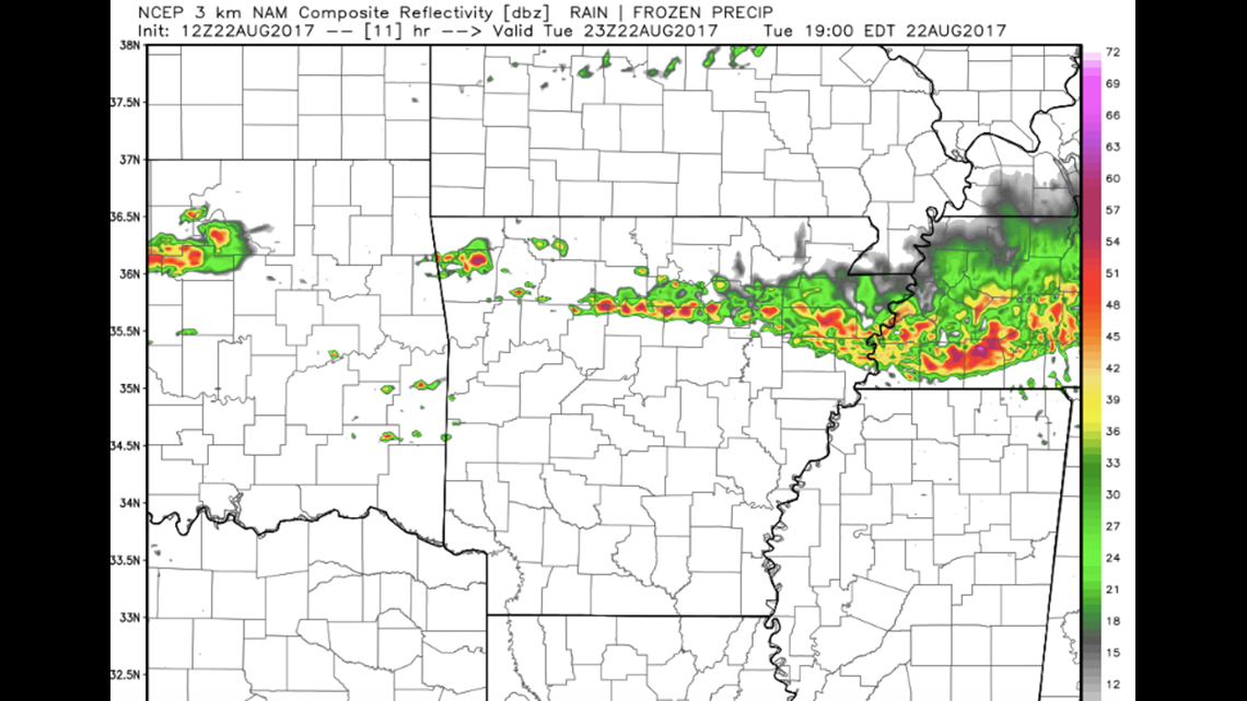
6PM TUESDAY: Scattered showers and thunderstorms are expected across NW Arkansas and will continue to develop as the front spreads south late this evening.

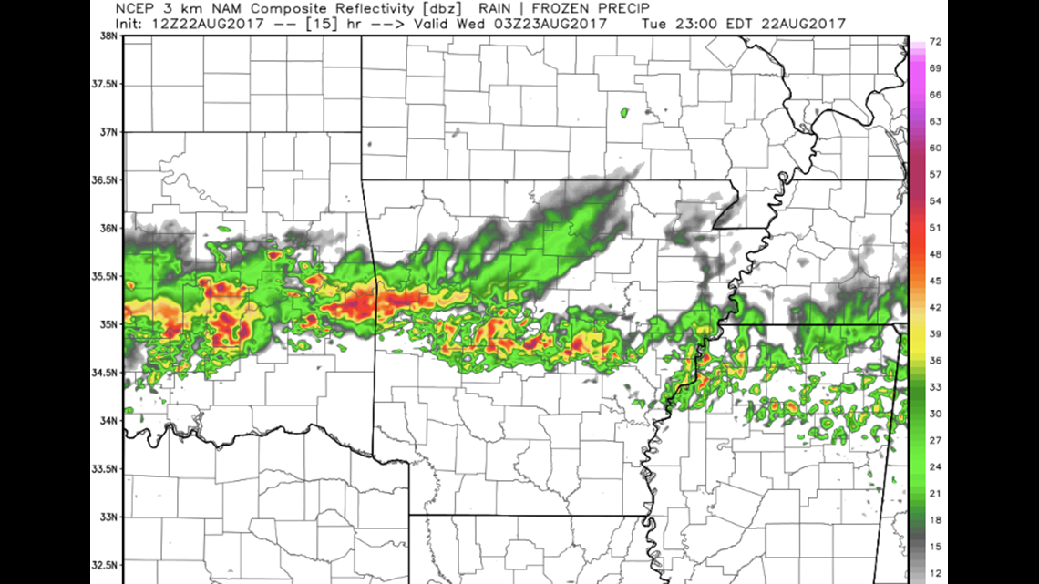
10PM TUESDAY: Showers and storms with locally heavy rain will be in the area late on Tuesday into the overnight hours. Heavy rain is likely to become the main issue with several inches possible in isolated area.
The storms are expected to be out of the area on Wednesday morning with drier and cooler weather expected for the remainder of the workweek.
-Garrett