
Numerous rounds of heavy rain are likely this week. Here's a look at the next 24-hours and what to expect going from Monday into Tuesday.
The National Weather Service has issued an Areal Flood Watch for Tuesday starting at 6am.

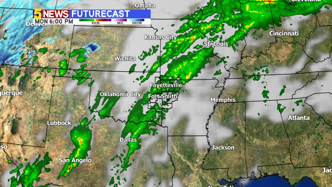
MONDAY 6PM: Scattered showers continue across much of the area with locally heavy rain possible in the stronger storms.

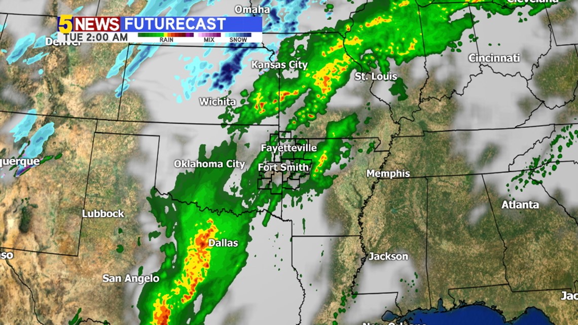
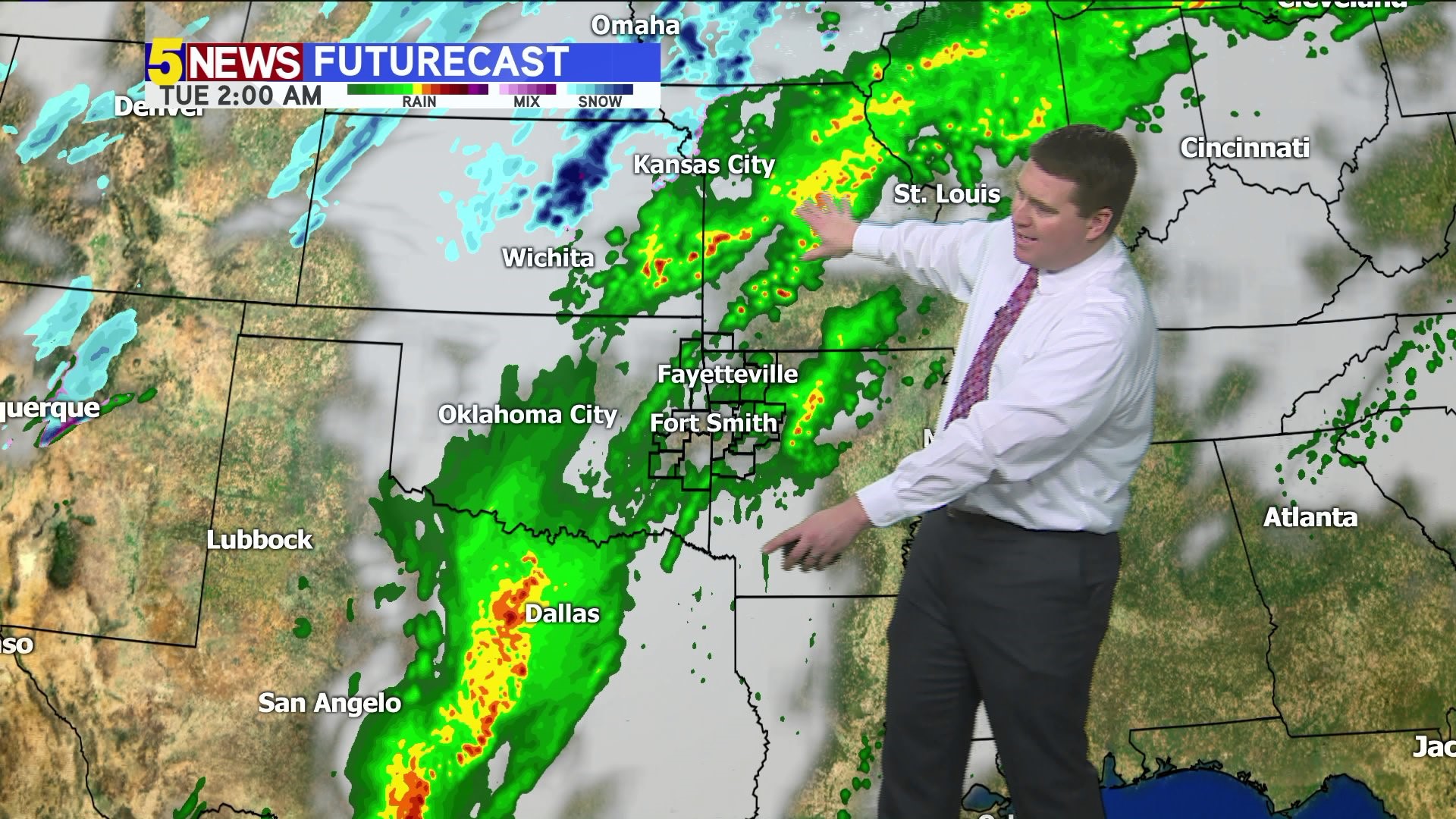
TUESDAY 2AM: Late Monday into Tuesday, we'll get another push of rain from Texas moving to the northeast into Arkansas. These will be the showers and storms that affect us on Tuesday morning.


TUESDAY 6AM: Widespread rain is likely as you start your Tuesday. Meteorologist Joe Pennington will be tracking rain as you wake up with 5NEWS starting at 4:30am Tuesday morning.

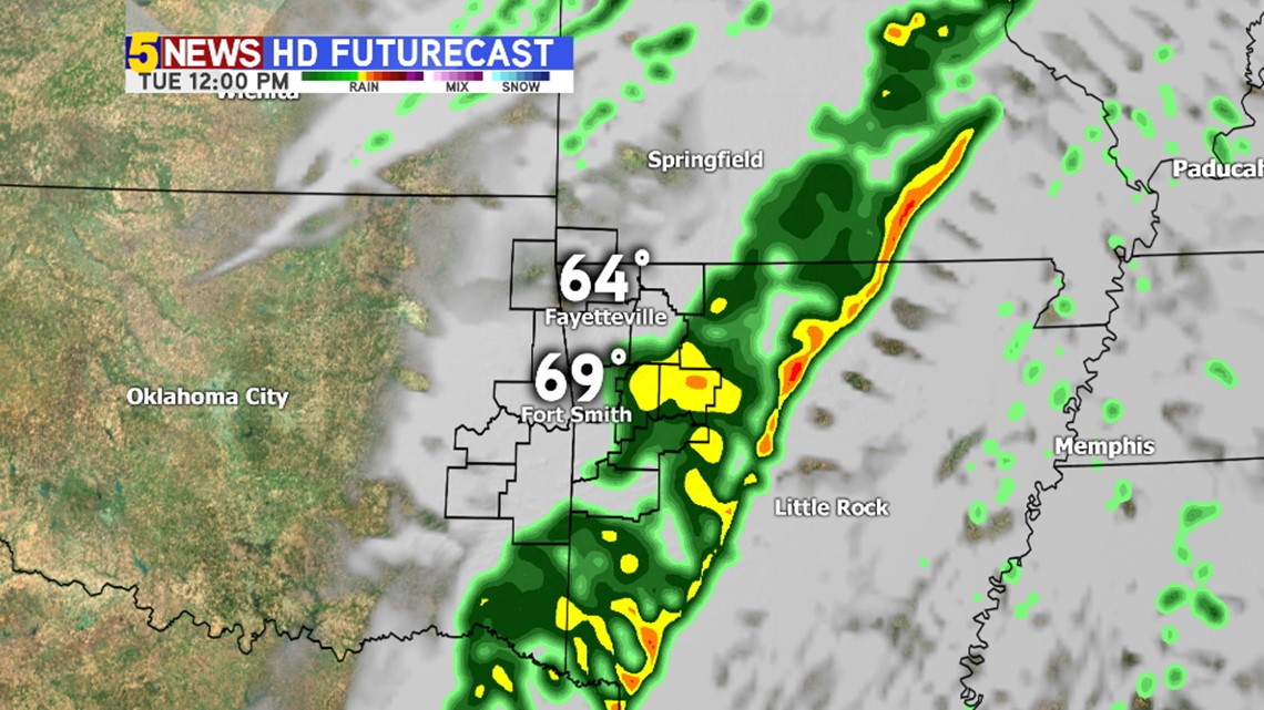
TUESDAY NOON: The heaviest rain will shift east providing a small break in the showers and thunderstorms.

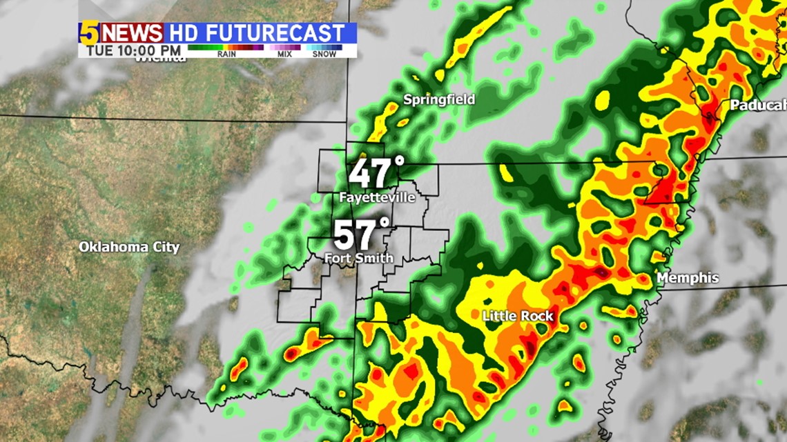
TUESDAY 10PM: More rain develops behind the line of exiting rain with rain likely again on Tuesday night into Wednesday.
Because the area is experiencing a weak drought, flash flooding will not be an issue initially but several inches of rain over several days could lead to flash flooding by the end of the week into the weekend.
-Garrett