
A large area of rain with embedded thunderstorms continues to move across much of our region with the heaviest rain from I40 and south.
There's a fairly sharp gradient of rain with the heaviest south of Fayetteville and very little falling north of Fayetteville into Benton County.
Flash Flood Warnings are possible as the rain continue to fall in West Central Arkansas. A few are already in effect in Eastern Oklahoma.

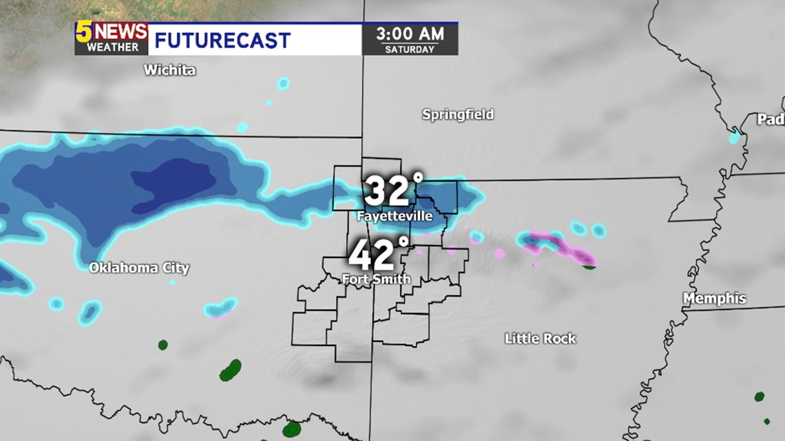
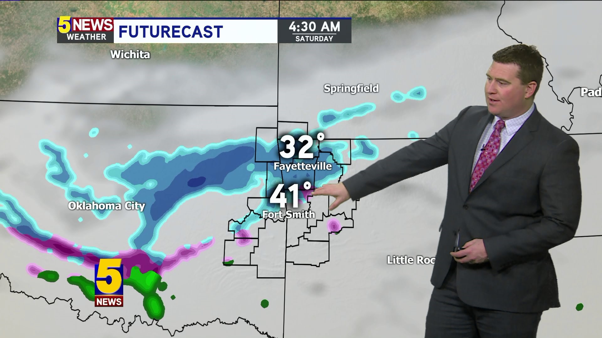
3AM Saturday: An area of sleet and snow will be possible late tonight into the early morning hours.

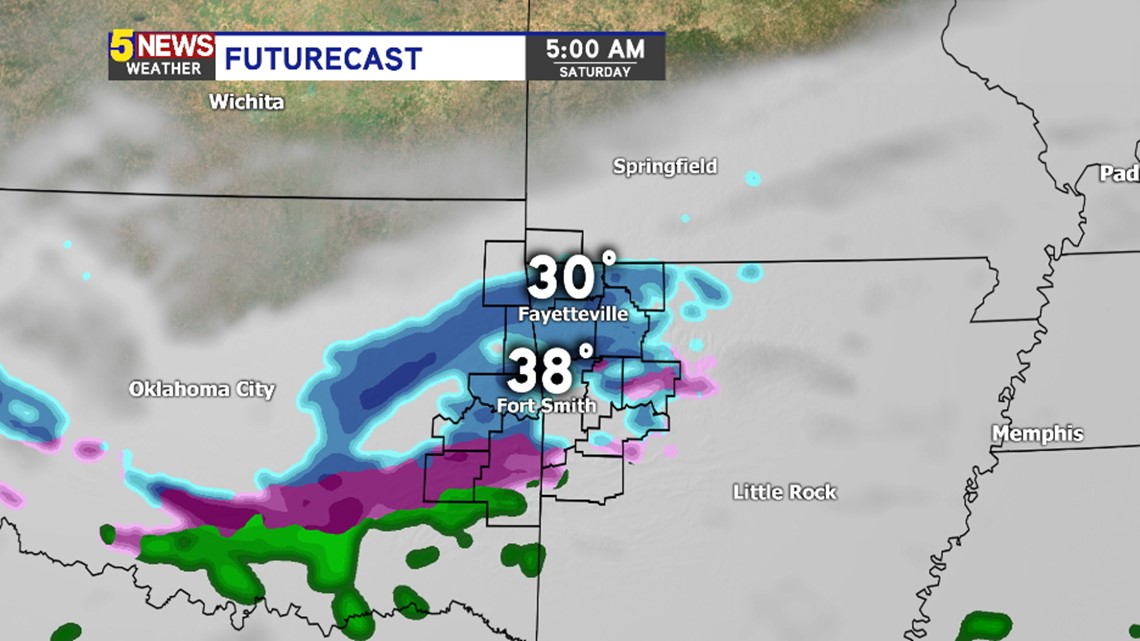
5AM Saturday: Temperatures will be below freezing in NW Arkansas so it's likely anything that falls could stick to bridges and overpasses. Accumulation will be minimal but there could be a few traffic hazards in the usual slick spots.


6AM Saturday: Most of the sleet and snow will be exiting the area to the southwest. Temperatures quickly climb above freezing so any additional road issues will clear up fast Saturday mid-morning.
-Garrett