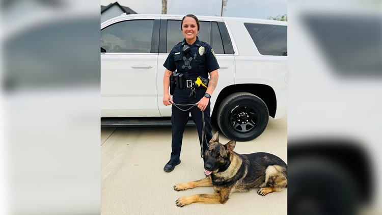
LIVE BLOG: Tuesday’s Severe Storms
Severe storms are expected by early afternoon with a threat of damaging winds and possible tornadoes.
Temperatures over the weekend will start a slow warm-up before a more rapid warm-up early next week. Highs will be unseasonable warm in the low to mid 70′s setting the stage for a round of winter-time severe storms.
The work week is off to an unseasonably mild start, feeling more like Spring than Fall. An upper level storm system will track across the area giving us storm chances late Monday afternoon into the evening hours
We are tracking a cold front that will arrive Monday afternoon sparking showers and storms. Some of the storms Monday afternoon and evening will be strong to severe.
Round 3 of showers and thunderstorms will take aim at the area once again late Wednesday night into the early hours of Thursday morning.
Another complex of storms will arrive in the area overnight Tuesday into Wednesday morning. Limited severe risk.
On the heels of a mostly dry month of May, beneficial rain will arrive this week. A cold front will start to push into the area late on Memorial Day with a chance of a few scattered showers and possibly a thunderstorm or two
Rain chances will pick up this weekend as a cold front pushes into the area. Easter will not be a wash out but a few showers will be possible through the morning and afternoon Sunday.
A few thunderstorms will be possible this evening as an upper level low pushes into the area. Overall severe weather risk remains low for the storms this evening, but small hail will be possible with any storms this evening.