UPDATE: WINTER WEATHER ADVISORY IN EFFECT FOR ALL OF EASTERN/SOUTHEASTERN OKLAHOMA, NORTHWEST ARKANSAS AND THE RIVER VALLEY. A WINTER STORM WARNING IS IN EFFECT OF JOHNSON, POPE, LOGAN, SCOTT AND POLK COUNTIES.
Winter weather, including snow, freezing rain and sleet, will impact our entire area from 1AM Monday morning through the late afternoon hours of Monday. Snow accumulations of 1-4 inches possible. Higher snow totals in NWA, with higher ice accumulations in the River Valley and southeast Oklahoma.
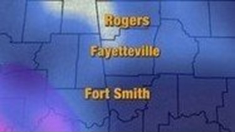
Snow will be moving into eastern Oklahoma around 1-2 AM Monday morning and will continue east through the early morning hours. Snow will be likely in northwest Arkansas and the River Valley
Here is a time-line for Monday:
1AM-5AM: Snow will begin in eastern/northeast Oklahoma close to 1AM. By 3 to 4AM snow will be falling across the entire area and will continue through the early morning rush hour. Bridges, overpasses and roads will probably become slick during this time. 1-2 inches of snow accumulation will be possible during this time frame.
5AM-NOON: Snow is likely across the entire area for the early morning commute. Closer to 10-11 AM warm air aloft will switch the snow to a mix of freezing rain/sleet and snow from south to north.
NOON-4PM: During this timeframe there will be different types of precip falling in different areas. Mostly snow will be falling northwest Arkansas and northeast Oklahoma with a mix of freezing rain and sleet south of Interstate 40. Wintery precip will start to weaken and move off to the east closer to 4PM. Further south the temperature might rise enough to allow for a switchover to rain.
4PM-10PM: Freezing drizzle will be possible late Monday night; however the heaviest of the snow and freezing rain will be to our east.
Recap: The first part of this winter storm will bring snow with snow totals ranging from 1 to 3 inches with isolated spots receiving 4-5 inches. The second part of the storm will bring freezing rain and sleet with 0.05 to 0.15 inch of ice. Travel will likely become difficult starting Monday morning. Scattered power outages will be possible south of I-40 with the higher ice accumulations.
If you plan to be away from the TV, download one of our mobile apps to stay up to date with the threat for snow and freezing rain.
Live Max5 Radar is available here.
More updates to come.
-Joe P.