
The historical hurricane data for our area shows very few hurricanes and tropical storms maintain their intensity as they move into Arkansas. We see plenty of tropical rains but rarely do we ever see tropical winds. If you’ll recall back in 2008 Hurricane Ike was weakening as it moved into Northwest Arkansas yet still prompted Tropical Storm Warnings as far north as Polk County.
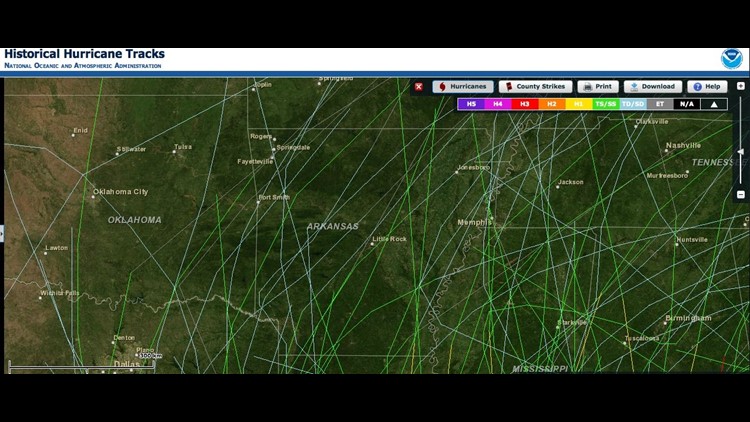
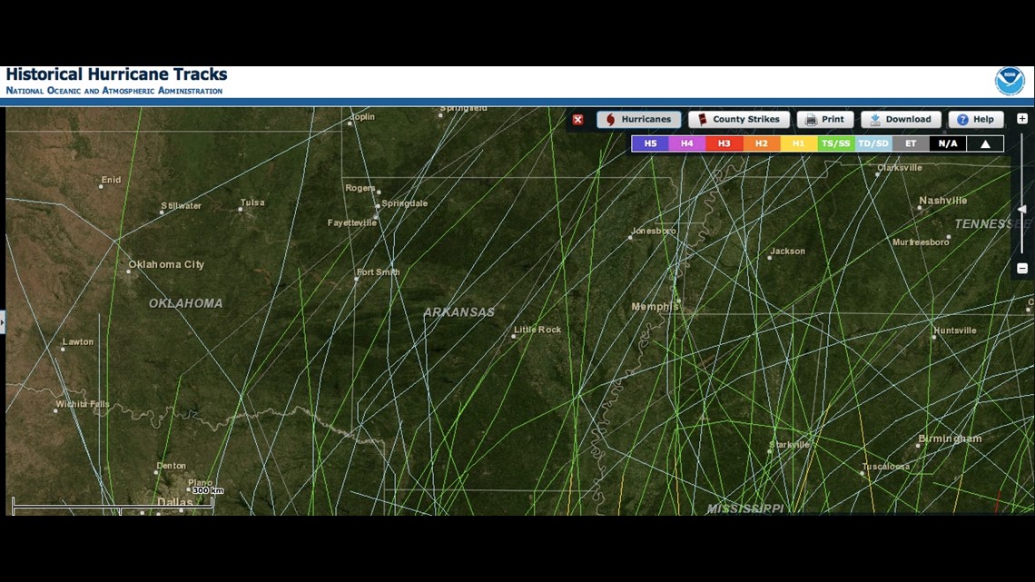
Hurricanes and Tropical Storms in Arkansas are extremely rare. In fact, if you go back to when records start in the 1800s there’s only been 3 in our area with the most recent Hurricane Ike. (Green lines on the map, click image to full larger picture) Ike was unique because it was pressing against a cold front as it moved across the area. This resulted in a tightening pressure gradient which caused winds over 70mph and damage from Mt Ida all the way to Springdale.
A Category 1 or larger hurricane has never been recorded in our area but the historical tracks show at least one storm that made it as far north as Crossett which is east of El Dorado.
A few Tropical Depressions (with winds of 33mph) and Extratropical Systems have made it into the area. Extratropical systems are not true “tropical” systems because they have cold air aloft and continue their intensity because of the difference between hot and cold. (Referred to as baroclinic). About 5 Tropical Depressions have made it into our area in 160 years.
While the track of the center of circulation doesn’t happen much; the moisture from landfalling systems in Louisiana or Texas have been known to drop large amounts of rain across Arkansas.
With the tropical system “Isaac” it’s extremely unlikely we would see tropical storm force winds. The most likely scenario is a breezy day sometime late week with a few areas of rain wrapping around the west side. The best case scenario for the drought would be for our area to be east of the center of circulation. Current forecast tracks do not indicate this will occur. The east and specifically northeast side of the tropical system are known for tornadoes as well.
As long as Isaac’s center stays to our east we won’t see the heavy rain or the tornadoes. But we could see some wrap around moisture and a cloudy/breezy day which would bode well for the ongoing drought in the Southcentral Plains. You can make your own maps from previous years and compare intensities by using this link: http://csc.noaa.gov/hurricanes/#
-Garrett