As storms moved east out of Northeast Oklahoma and into Northwest Arkansas, the National Weather Service issued a tornado warning for Benton and north Washington counties just before 9:45 p.m. Thursday night.
Madison and Carroll counties also received a tornado warning, according to the National Weather Service. Warnings expired at 11 p.m., giving way to tornado watches and severe thunderstorms.
Some of the strongest parts of the storm traveled through Decatur and Gentry, 5NEWS' Garrett Lewis reported. Winds in that area were in the 60 to 70 miles-per-hour range.
Severe weather sirens were activated in Bentonville, Rogers, Gravette, Decatur, Gentry, Lowell, Pea Ridge, Highfill and Siloam Springs. Winds in excess of 70 miles per hour were reported at Northwest Arkansas Regional Airport.
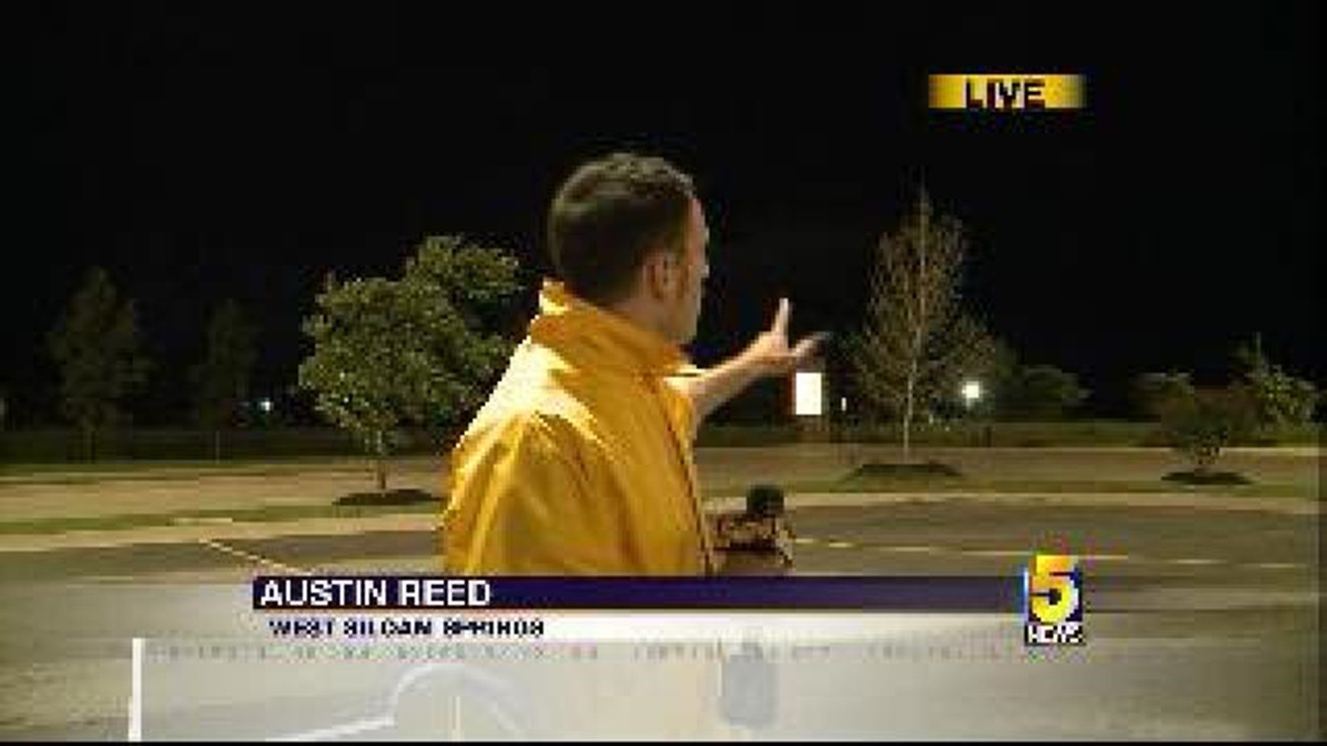
The warning came after storms and a tornado warning hit Delaware County and West Siloam Springs, Okla.
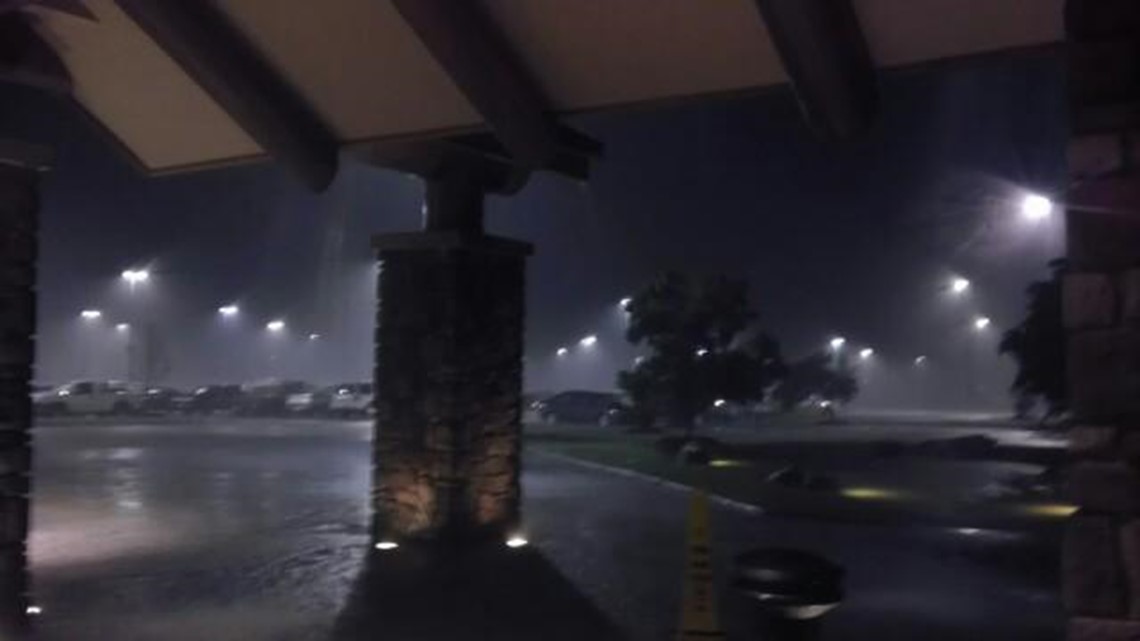
West Siloam Springs saw an increase in rain and wind, and many driving in the area pulled over or are seeking shelter in permanent structures. Some gathered at Cherokee Casino to seek refuge from the storm, as tornado sirens sounded.
At the peak of severe weather Thursday night, almost 1,100 households lost power, according to SWEPCO and Ozarks Electric. Streets in Northwest Arkansas gave way to water, stranding one car at the railroad underpass on Highway 71B in southern Springdale. No major injuries were reported, though, according to local authorities.