**A Winter Weather Advisory is in effect until 6pm Thursday for SE Oklahoma and West Central Arkansas and includes: Sequoyah, LeFlore, Sebastian, & Crawford County. Currently, no Winter Weather Advisories are in effect for Northwest Arkansas; however, that could change depending on where the snow sets up tomorrow**
**A Wind Chill Advisory is in effect areawide. Wind Chill values Wednesday night will range from -5 to 10º**
More snow chances are coming this week and next week. The snow on Thursday, Friday, and Saturday morning appears to be light. I would expect accumulations to be around an inch or less. It appears the best chance for accumulation is Poteau and Fort Smith on Thursday. And Bentonville & Fayetteville on Friday… but to re-emphasize… snow will be possible everywhere.
Best timing on these small disturbances is early thru Noon Thursday, and afternoon/Evening on Friday. Lingering light snow in Saturday morning.

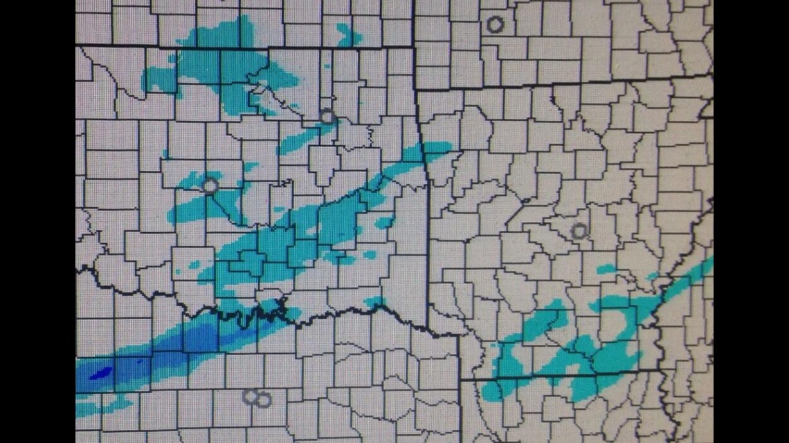
(Screenshot I took of HRRR model showing 5am on Thursday; blue means snow.)
Everyone wants to know what road conditions will be like. It’s impossible to forecast road conditions with any degree of accuracy because there are too many variables. We report road conditions as the event unfolds & it depends largely on whether or not roads are being treated, pre-treated, volume of traffic, time of day, & sun angle. You can always get the latest from the highway departments in Arkansas Here and Oklahoma Here.
With cold temperatures and snow in the forecast, I would expect roads to be slick and hazardous in many locations.
Beyond these light snow events, a much bigger system will affect the area on next Tuesday and Wednesday. Details need to be worked out but ice looks to be a possibility then too.
Expect below normal temperatures for the next 7 days with highs near or below freezing and lows in the teens or single digits.
Sunday looks to be the warmest day this week with some place in the River Valley possibly as high as 39 or 40 with partly cloudy skies.
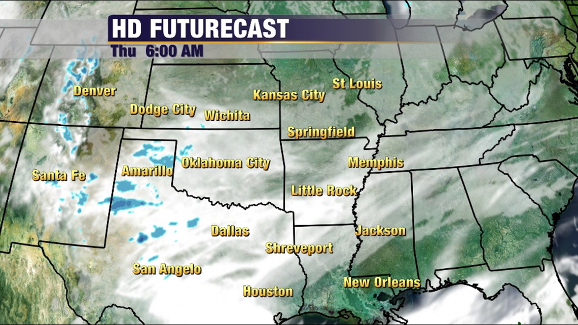
Here are a few graphics to show you what we’re watching.


Another small disturbance moves into the area late in the day Friday. Snow totals could be a little higher with this one. Still light, but I wouldn’t expect to see much more than an inch, maybe 2″? Doesn’t look like much but it will be enough for traffic problems.

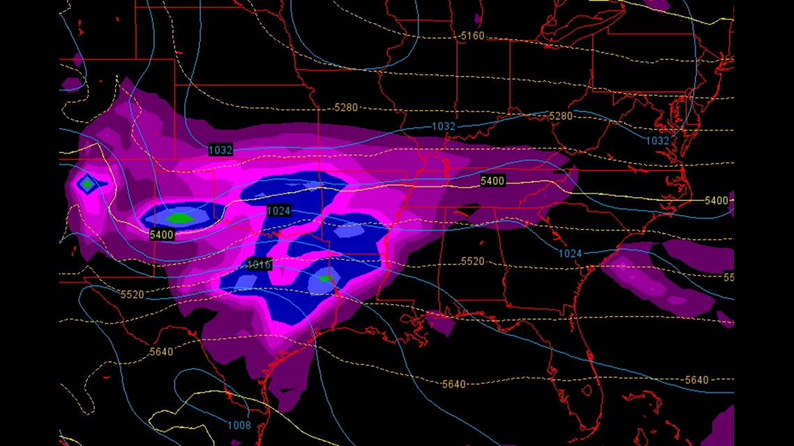
The next system is a long way out; here’s next Tuesday. The blobs indicate precipitation. The line that says 5400 is usually the ‘first guess’ at the rain/snow line. You can see that line in the area and wintry weather would be possible.
Stay tuned.
Garrett