9:00PM Update: Snow is starting to end from the west to the east this evening with little additional accumulation past 11pm. Roads will be slick and hazardous during the first part of the day on Saturday with improving conditions later in the day.
Another disturbance with limited moisture is moving across the area this evening. The primary impacts will be felt along and south of Interstate 40 where a trace to 2″ of snow will be possible. Due to the cold air mass the snow will be unusually dry and fluffy and could result in blowing snow on roads.
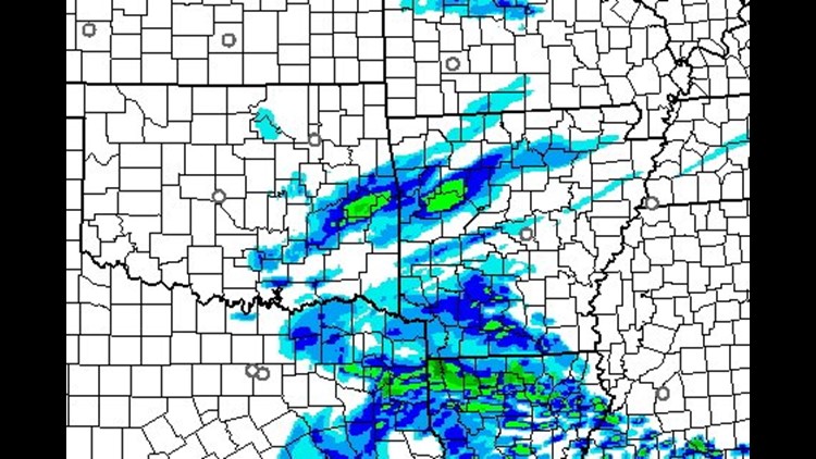
The image above shows what the radar could look like at 6pm tonight. Snow will be falling in the River Valley & Ouachitas. Flurries and minor accumulation could occur in Northwest Arkansas but highest totals should remain south.

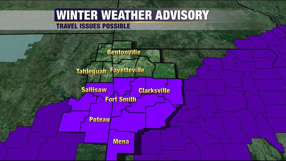
The Winter Weather Advisory Expires at 10pm tonight.
With loss of daytime heating, any radiative effects from the sun will be gone and snow will be a little slower to melt on area roads. Travel conditions are expected to worsen this evening, be slick tonight, and improve midday tomorrow.

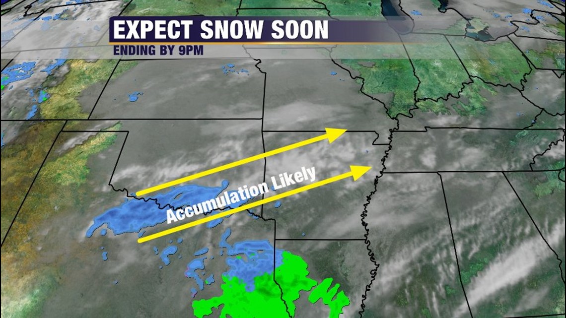
Snow arrives around 2pm, Peaks around 6-7pm and is out of the area by 11pm.
Updates tonight at 5 & 6pm on 5NEWS.
-Garrett