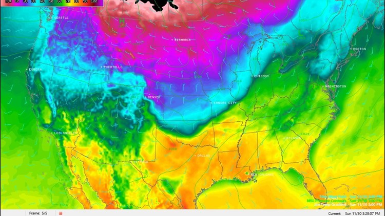
After breaking record highs on Sunday afternoon, a strong cold front will move across the entire area overnight with light rain or drizzle possible. Temperatures in Fayetteville, Bentonville, & all Northwest Arkansas will be near or below freezing. The recent warmth should limit ice accumulations on roads, but bridges and overpasses are expected to be slick and hazardous early in the day.

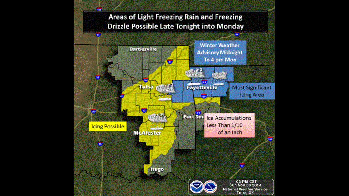
Farther south, in the Fort Smith area, temperatures will be above freezing and travel impacts not anticipated.
At most, ice could accumulate to .10″ with some locally higher or lower amounts. Usually. this does no result in power outages.
Once the sun has been shining on the road for a few hours (mid morning) many of the slick spots will improve but temperatures will struggle to climb into the mid 30s late day so a few road problems on secondary roads might stick around.