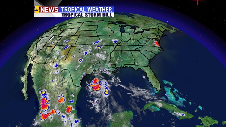
The second Tropical Storm of the 2015 Atlantic Hurricane Season has formed in the waters of the Gulf of Mexico off the coast of Texas. Wind speeds are estimated to be around 50 MPH with this storm.


The track of this storm takes it into Central Texas, where it will weaken after causing downpours to amount to possibly several inches of rain in Texas.

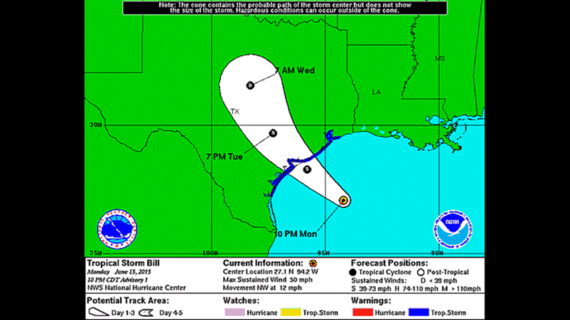
The remnants of the system are what we are concerned about in Eastern Oklahoma and Western Arkansas. As of right now, the data is showing the storms to swing through Eastern Oklahoma Wednesday afternoon and into Western Arkansas by early Wednesday evening.
Here’s a look at the estimated rain totals from the Weather Prediction Center. Most of us could see from 3-5 inches, with isolated areas seeing potentially close to 7 inches.

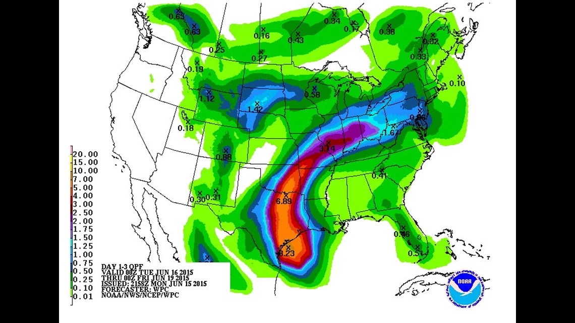
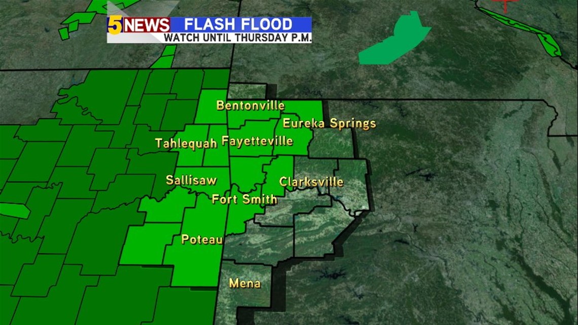
As a result, flash flooding could be likely Wednesday through most of Thursday. A Flash Flood Watch remains in effect for the counties in green until Thursday evening.

The potential flooding impacts all depend on how this storm moves and with what intensity it has after it makes landfall and turns towards us. We will keep you posted on the track of this storm.
Sean