
NORTHWEST ARKANSAS (KFSM)-- Flood waters across Northwest Arkansas continue to recede just about everywhere, but there are still plenty of road closures across the area.
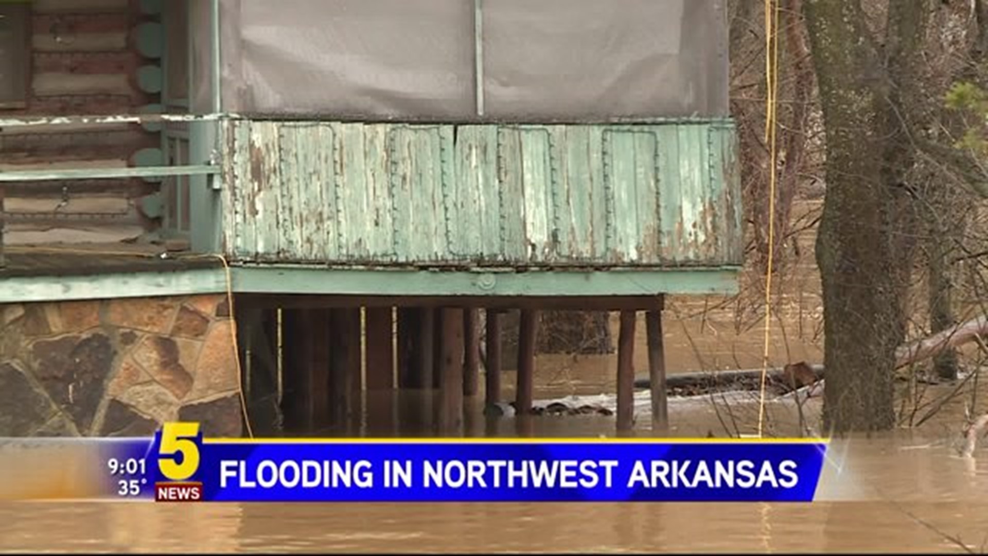
War Eagle Mill and the historic bridge reopened Tuesday morning (Dec. 29). The water rose several feet over the banks following the weekend's heavy rains. Homeowner Bruce Covey lives right next to the bridge.
“People have told us that this is up high enough that it's never been flooded so we weren't concerned,” he said. “We were more concerned about the bridge with the issues going on with it and the high water and if any logs could cause any problems.”
While his house wasn’t in danger, he did lose his travel trailer in the flood.
“It's wrapped around our tree right now,” Covey said.
Further south into Washington County, the water was receding slowly but surely.
In Elkins, 100 yards before the Harvey Dowell Bridge is blocked off with caution tape. One-to-two feet of water spilling over from the White River covered the road Monday (Dec. 28). Its ditches are even deeper.
In West Fork, police say Dye Creek Road is the only road closed in the town. The water started receding around midnight Monday (Dec. 28).
“This is probably the worst I've seen it this year,” Robert Warren said.
Wesk Fork residents like Warren say they are used to Dye Creek Road flooding just about every time it rains.
“It's probably been underwater five or six times this year,” Warren said.
Both Covey and Warren said they’re thankful things weren’t worse.
“We're just blessed to be up high enough that we can just kind of watch this,” Covey said. “I mean the mill it gets flooded quite often.”
The War Eagle Mill bridge was already slated for repairs before the flooding.