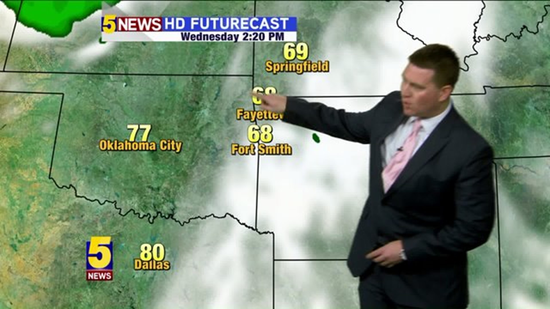
Temperatures will continue to climb for Tuesday and Wednesday with highs in the 70s and breezy southwest winds gusting to over 35mph.
Thunderstorms will develop on Wednesday evening as a dry line moves into Oklahoma.
Here are main points for the Wednesday system:
- Not much rain: The heaviest rain will fall east of us.
- Limited tornado risk: As storms initially develop, they’ll pose the greatest risk for rotation.
- Severe Time: 4-8pm
- Turning much colder late week; possibly another freeze Friday morning in NW Arkansas.


High pressure shifting east will continue to increase the south winds and the warmth through mid-week.

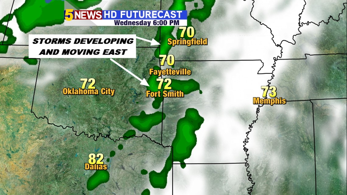
Here’s a snapshot of Futurecast at 6pm Wednesday with scattered thunderstorms developing.

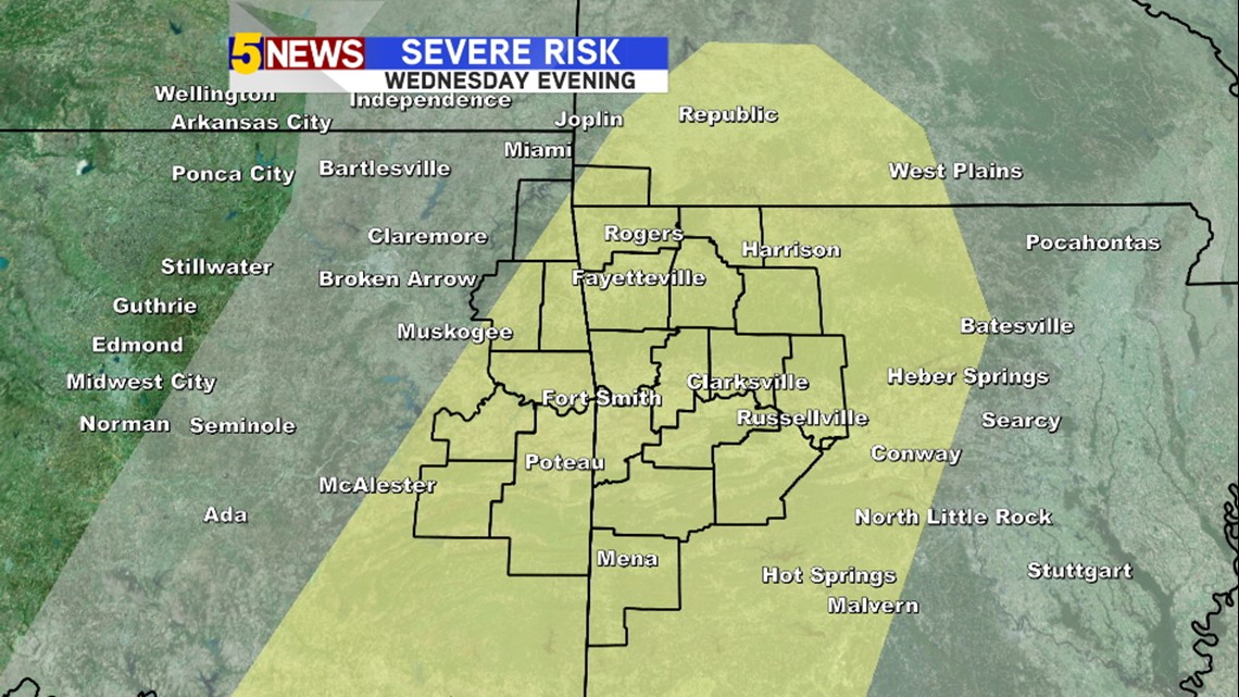
The Storm Prediction Center forecast shows the greatest risk of severe thunderstorms across much of our area on Wednesday.

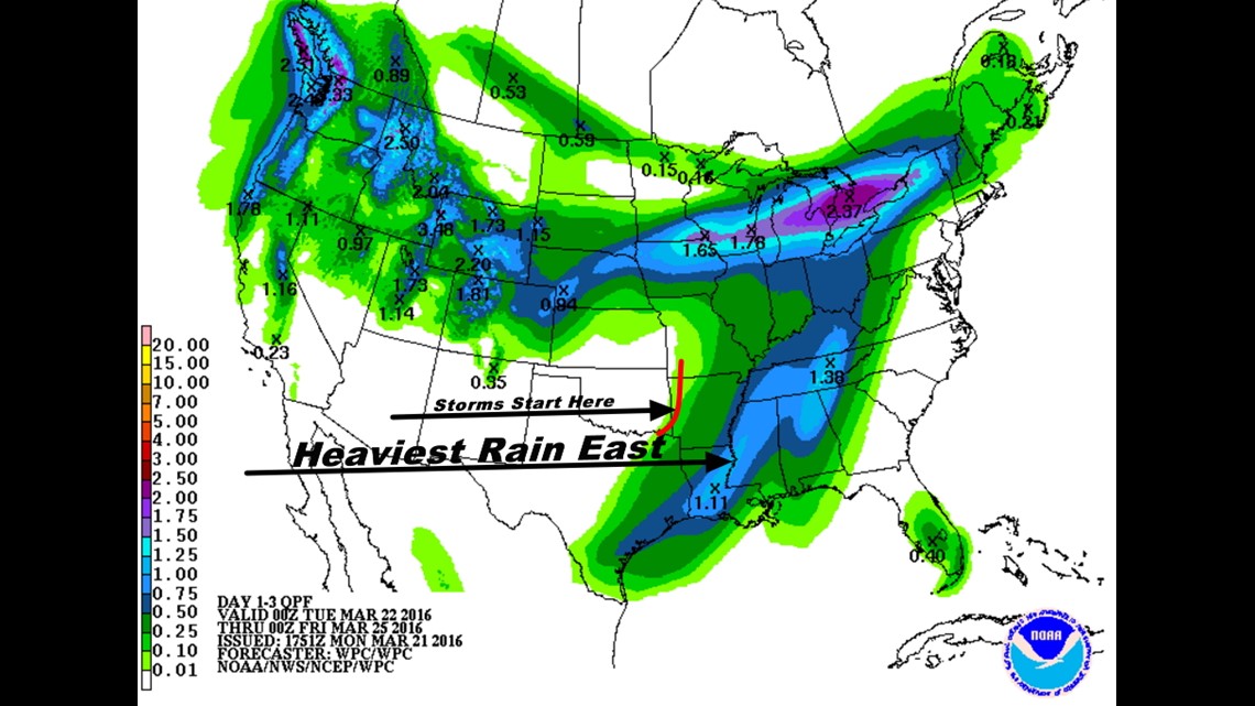
This is not going to be a big rain for us. We’ll see the storms start here and then really dump the heaviest rain across the SE United States.

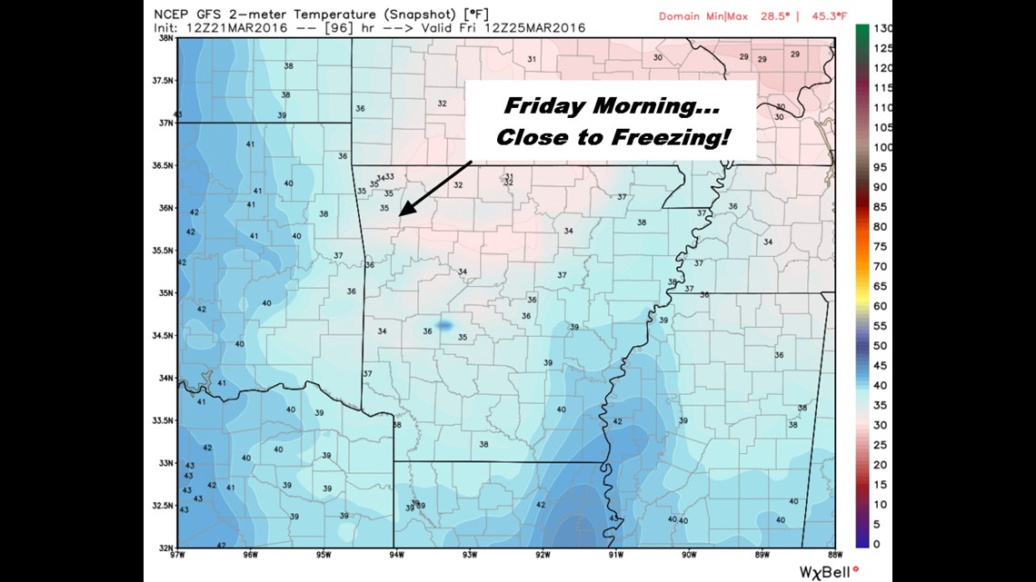
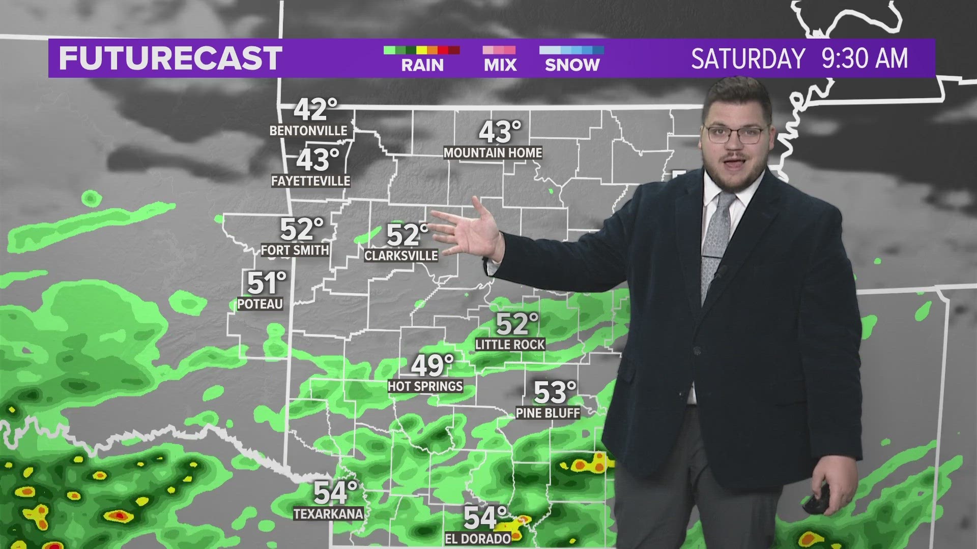
Friday morning will be close to freezing again across much of our area. Another Freeze Watch or Warning is possible.
I’m also watching Easter closely, it looks like rain will once again be in the forecast towards the end of the weekend.
-Garrett