The only chance for rain this week will be on Wednesday. Unlike most April rain events, severe weather won’t be an issue this week with weak instability.
Rainfall totals will be light and in most cases less than 1/4th of an inch. The rain will be out of the area by early afternoon.
The bigger story late this week with be the cool air. A blast of arctic air will surge south across the northeast United States with a glancing shot to our area.
Friday will be the coolest day of the week with highs in the low to mid 60s.
Here’s what I’m watching…

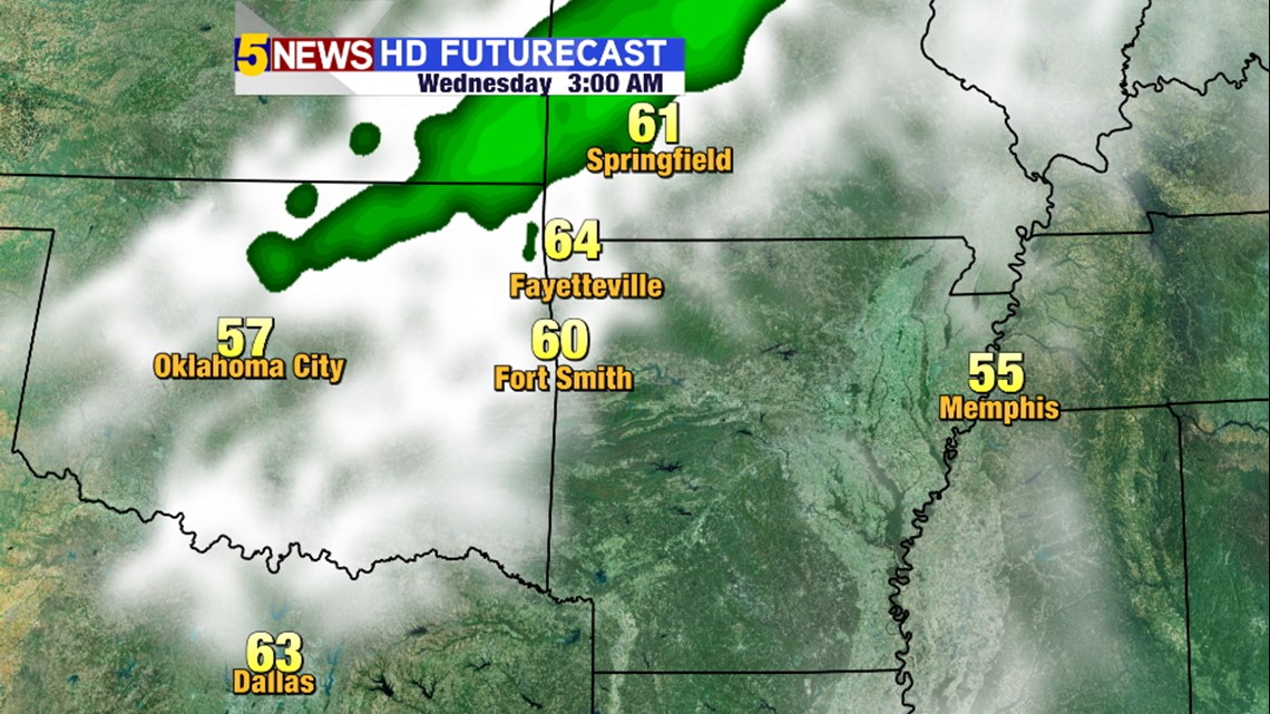
3AM Wednesday: Rain will be arriving from the northwest


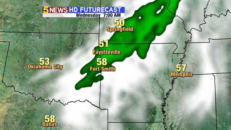
7AM Wednesday: We’ll see showers in the area to start the day with temperatures in the 50s. Expect a rainy start to the day on Wednesday.

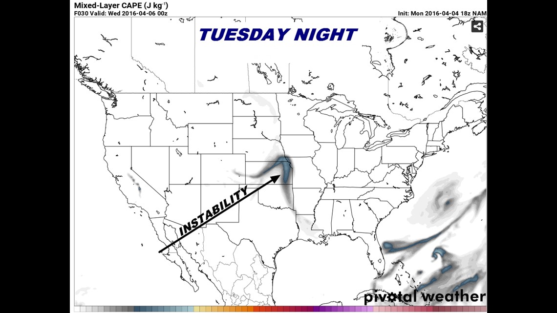
The best instability is located in eastern Kansas and NW Missouri on Tuesday night.

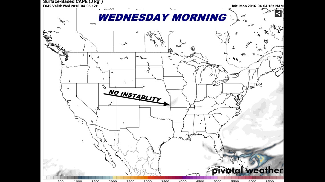
On Wednesday morning the instability will be low. A rumble of thunder is possible but the risk of severe weather is small.

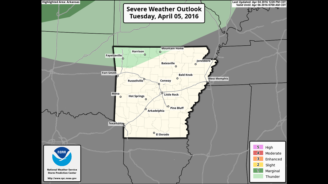
Tuesday’s Severe Outlook is focused north of our area.

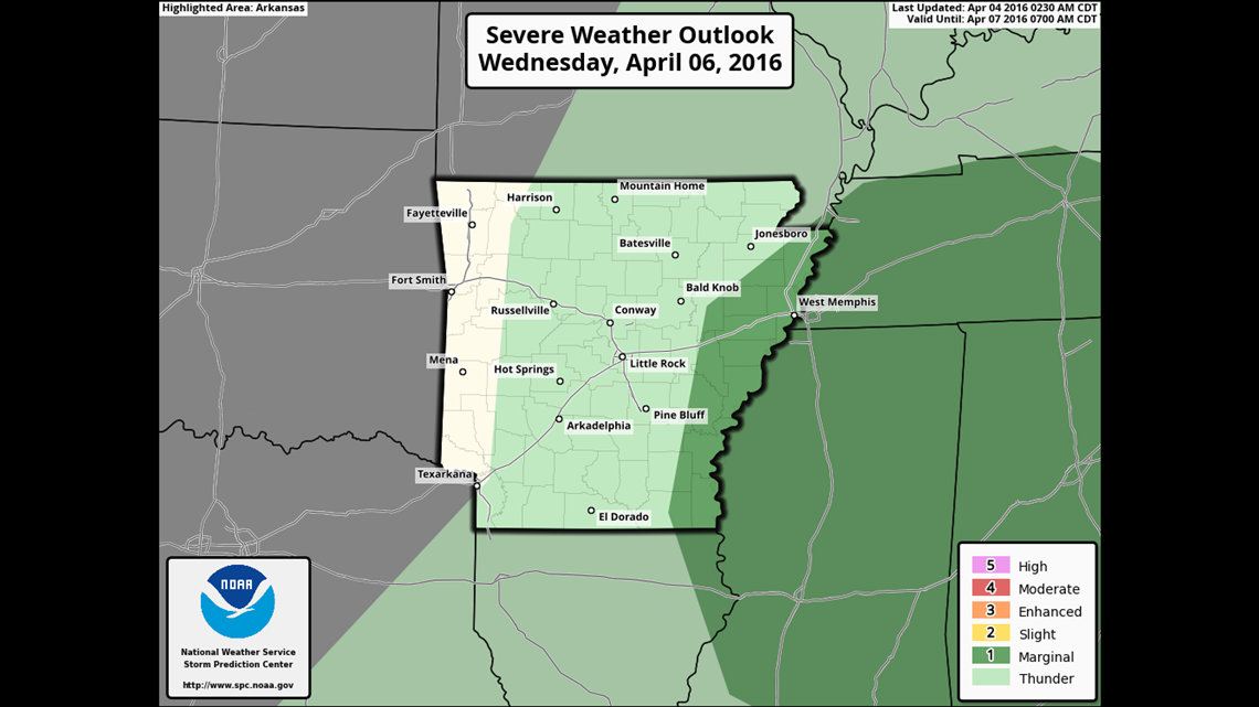
Wednesday’s Severe Outlook will be just to our east.
The next chance for severe weather could be towards the end of next weekend into next Monday.

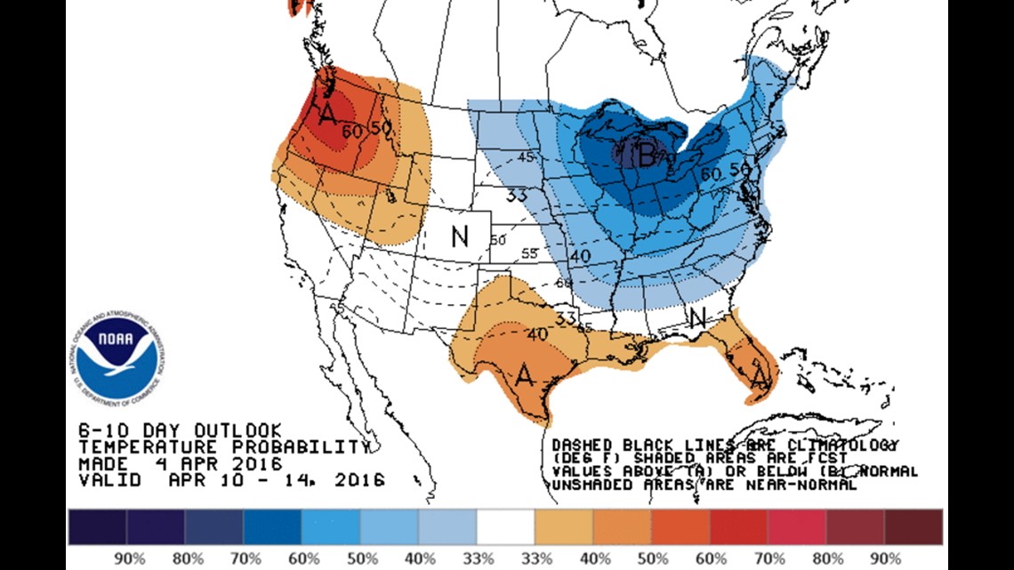
A late season surge of cold air will dig across the eastern half of the country. In response, a strong ridge of high pressure will build across our area which will limit the overall threat of severe storms in the next week or so.
-Garrett