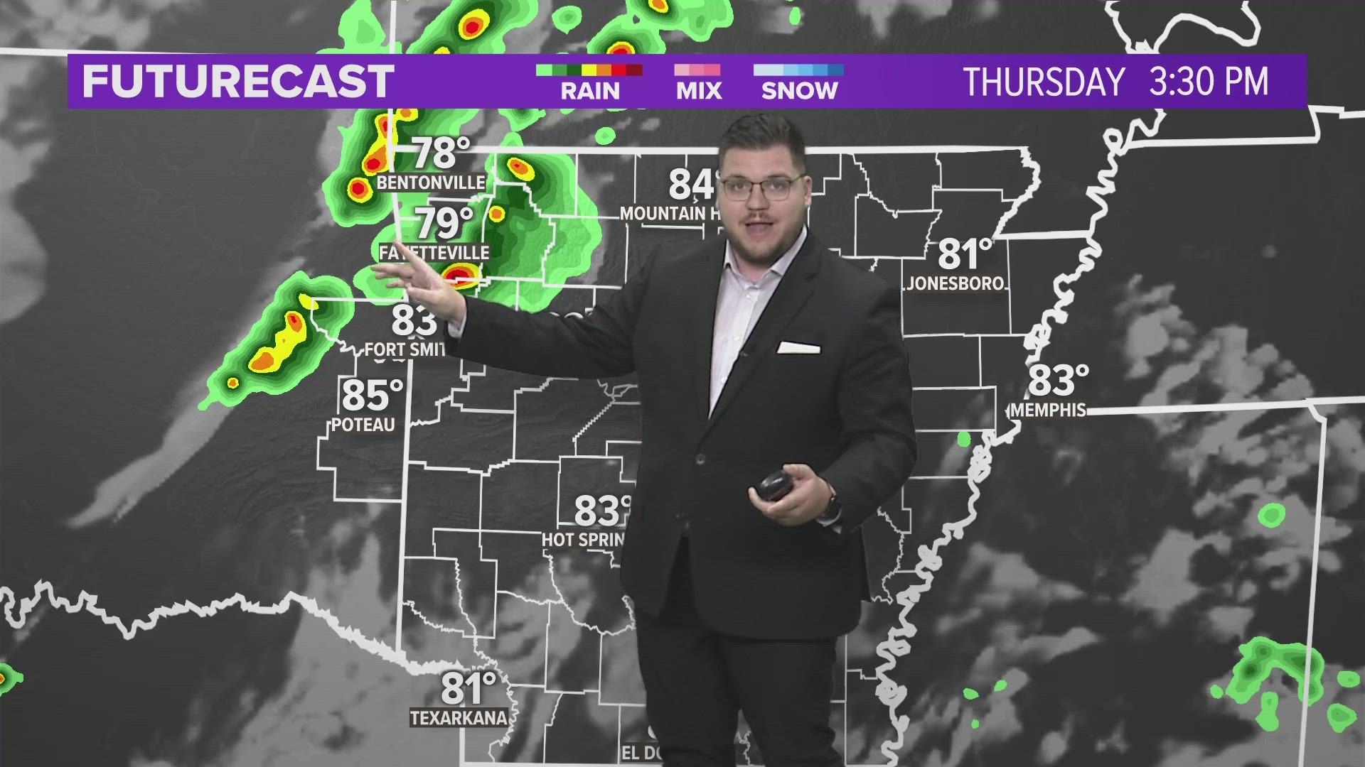

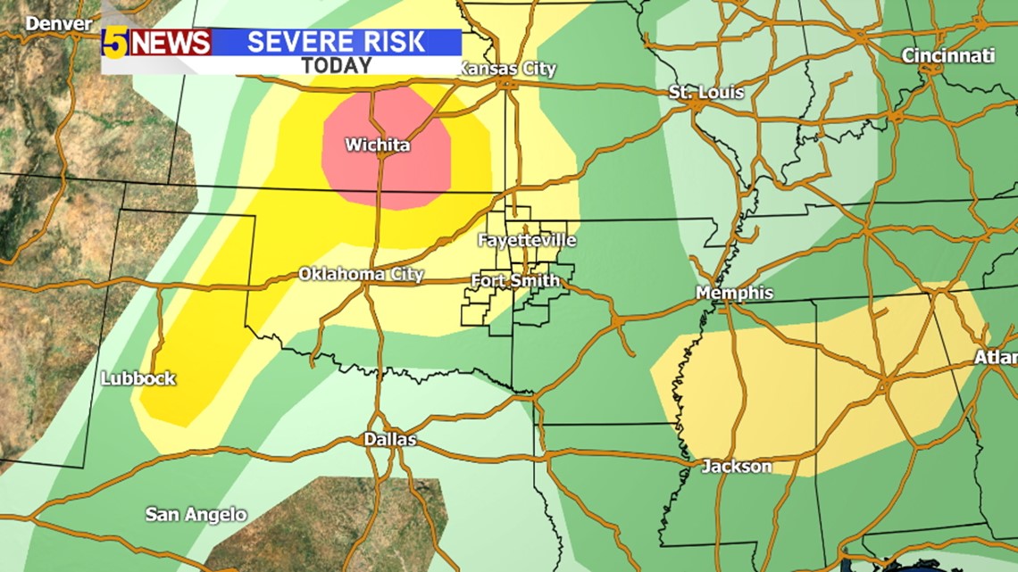
The highest risk for severe storms on Thursday will be in the Wichita area as thunderstorms erupt with daytime heating and eventually form a complex that tracks to the southeast late tonight into the early morning hours on Friday.

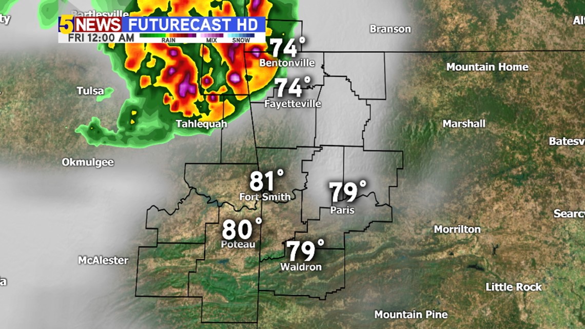
At Midnight the complex will begin arriving in NW Arkansas with damaging winds as the main threat.

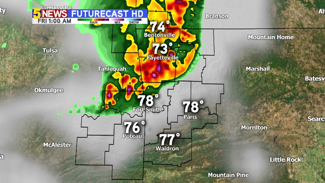
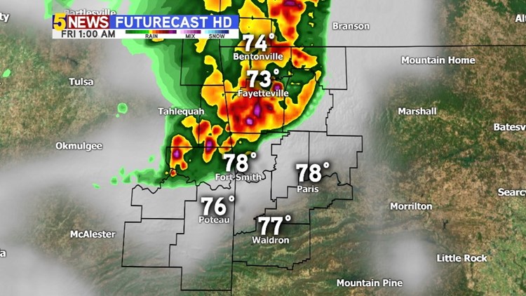
At 1AM, storms will continue to advance south and southeast towards the Fort Smith area.

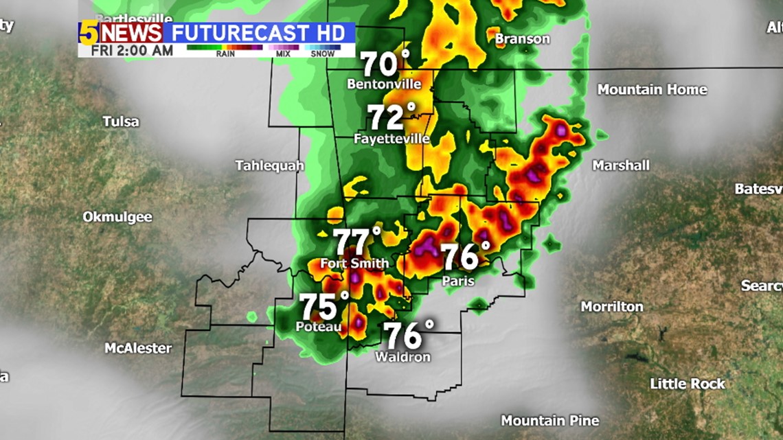
Storms will start to transition out of our area around 2am.

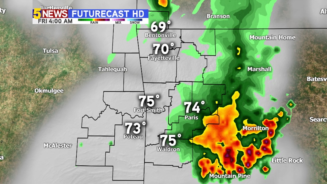
By 4AM, storms will have moved into Central Arkansas. A weakening trend is expected as the storms move southeast with the worst storms in Kansas and weaker storms in NW Arkansas, the severe risk is much lower by the time the storms get into the middle of Arkansas.