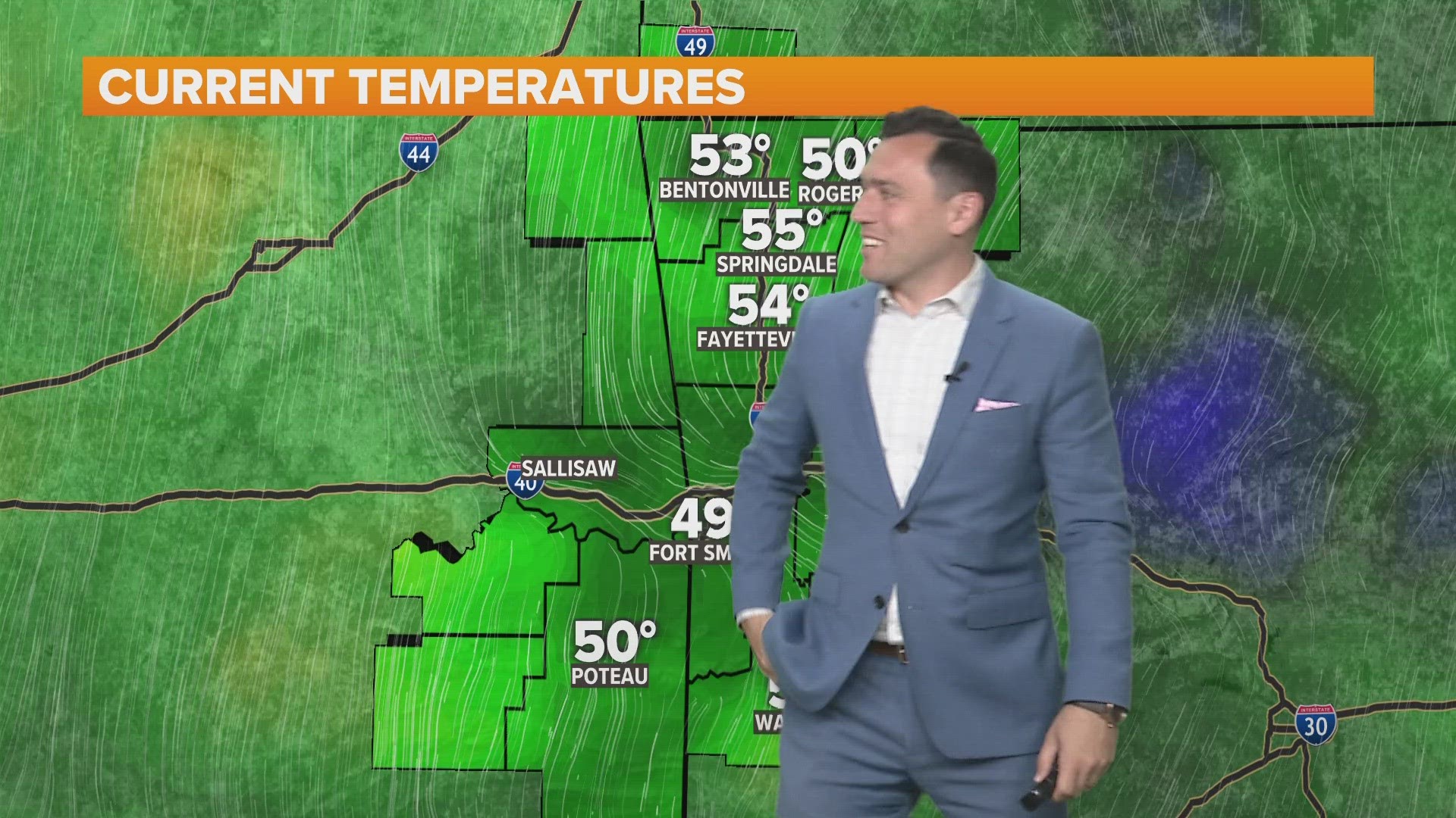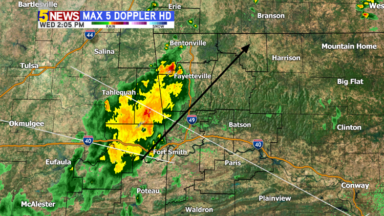
Yet another round of showers and thunderstorms is moving across the area on Wednesday afternoon. Expect locally heavy rainfall, a drop in temperatures, and a minimal severe weather risk.

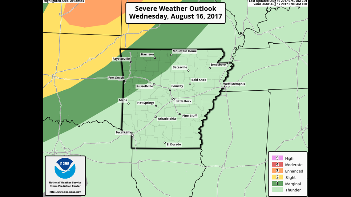
The highest severe weather risk will remain to our immediate north as yet another round of showers and storms moves into our area late tonight into Thursday.

8PM WEDNESDAY: This map shows the break that’s expected in the wet weather later this evening.

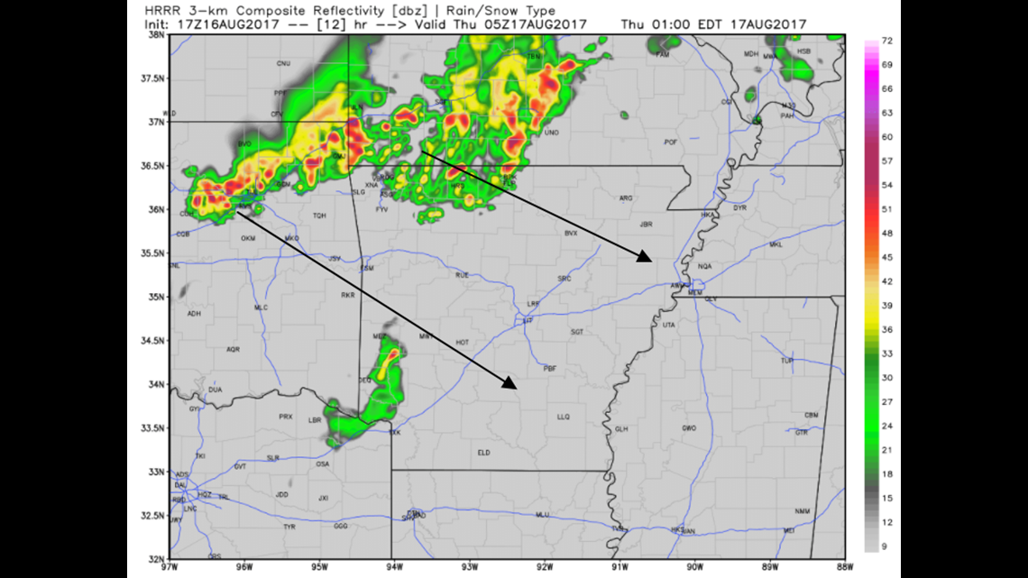
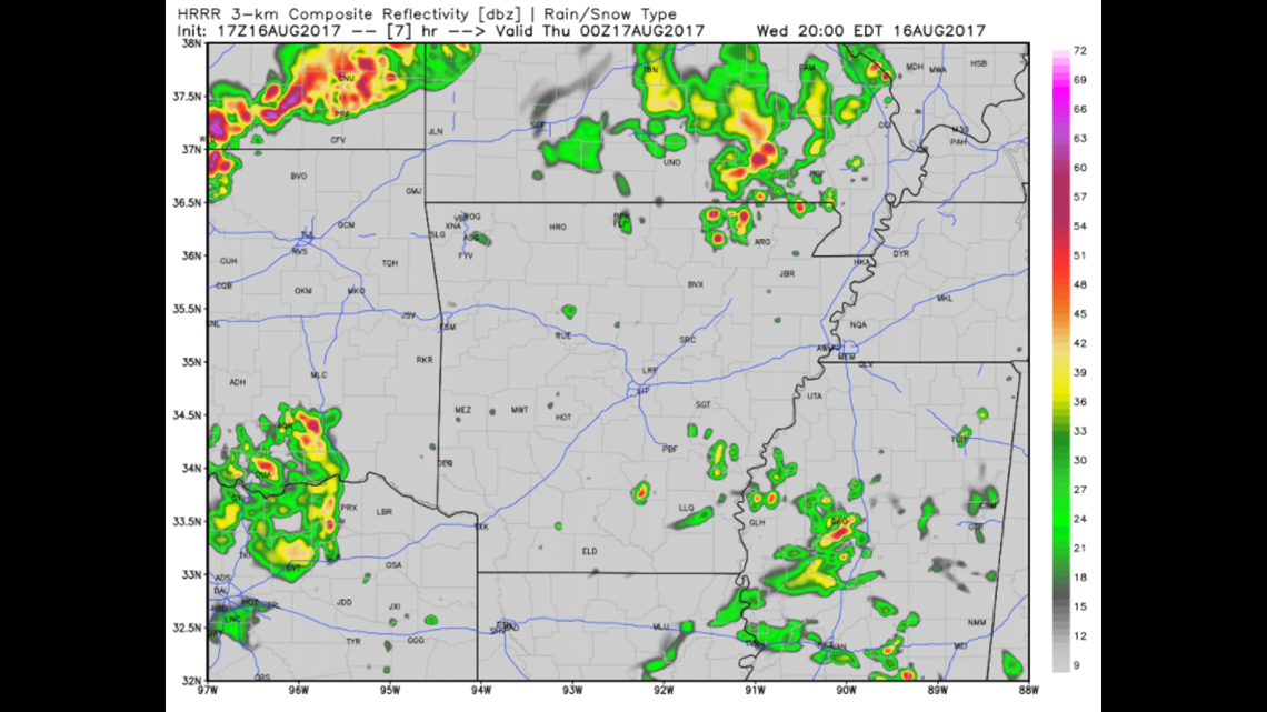
MIDNIGHT: The next round of showers and storms should arrive a little after midnight and linger into the morning on Thursday.
-Garrett