
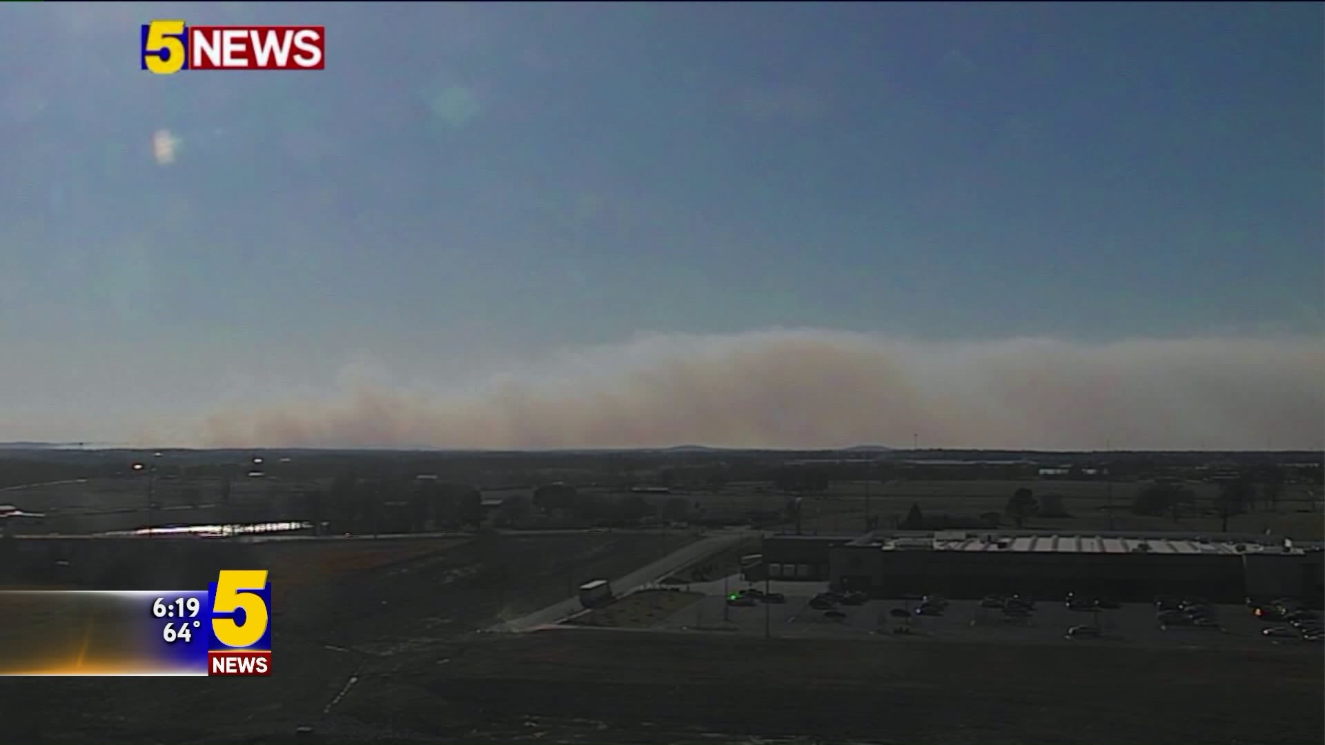
ARKANSAS (KFSM) -- Smoke filled the sky in southwest Benton County and several other areas Saturday (Mar. 3).
The plumes of smoke are from a prescribed burn, according to the Arkansas Forestry Commission (AFC).
The Benton County burn covered 1,312 acres and was nine miles west of Fayetteville.
The following counties also did controlled burns:
- Crawford (1.5 miles west of Cedarville) 2,216 acres
- Logan (1.25 miles southwest of Ratcliff) 20 acres
- Prairie (18 miles east of Little Rock Air Force Base) 6 acres
- Searcy (5 miles southwest of Witts Springs) 3,600 acres
- Sharp (2.75 miles southeast of Cherokee Village) 107 acres
- Sharp (2.5 miles west of Evening Shade) 27 acres
For more: Arkansas Forestry Commission