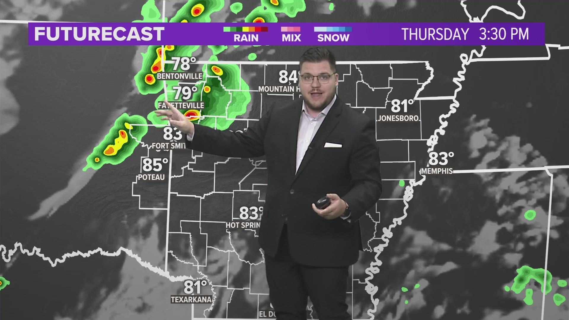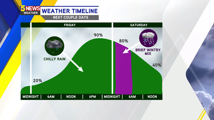
A widespread, cold rain is moving on in for the end of the week. By Friday late morning, the main wave of chilly showers will move in. There is a chance that some snowflakes will try to mix in for parts of Northwest Arkansas and the higher elevations briefly on Saturday morning. Not accumulation is expected as temperatures warm back above freezing Saturday.
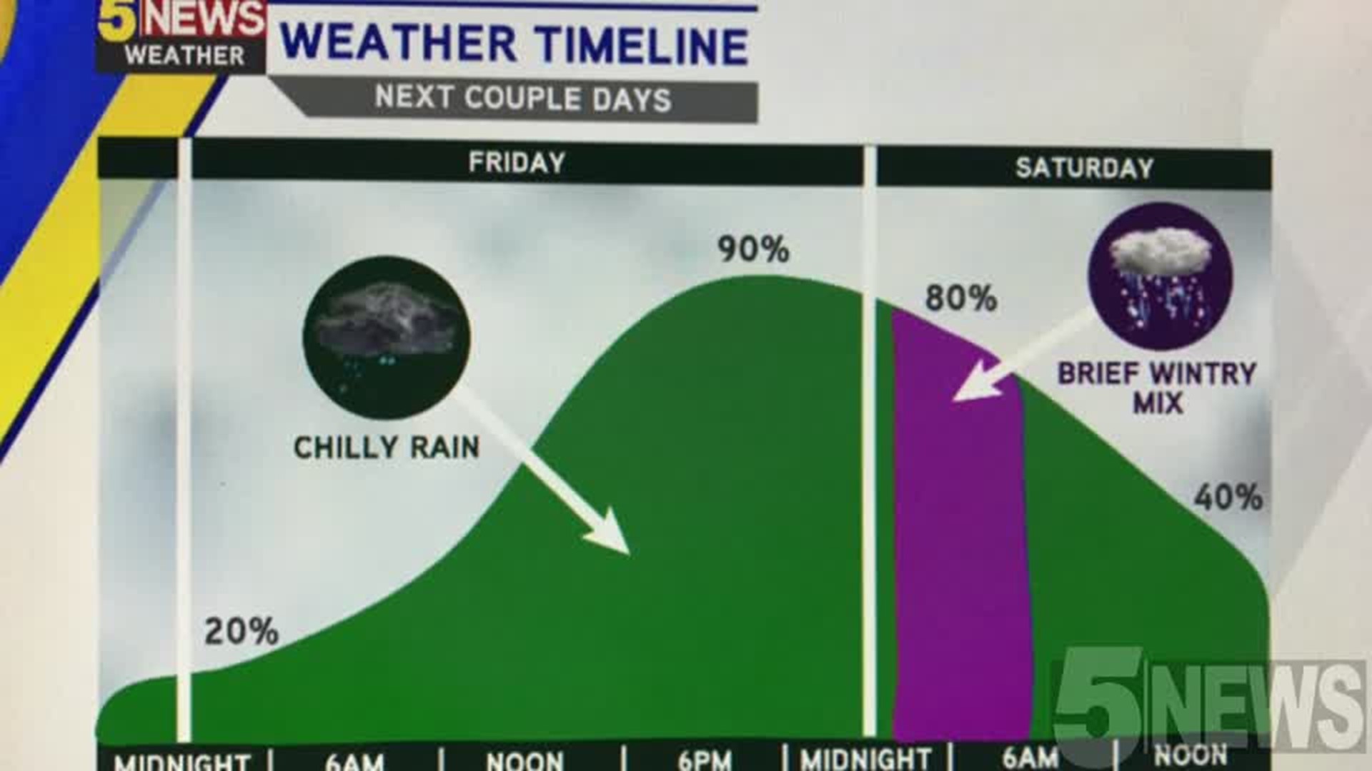
This event will stay as rain for the majority of Northwest Arkansas and the River Valley. However, locations north of Highway 412 could have a few snowflakes or freezing drizzle could mix into the rain showers early Saturday morning, mainly before sunrise.


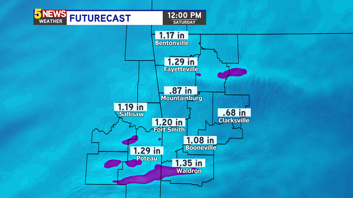
Futurecast Friday-Saturday:

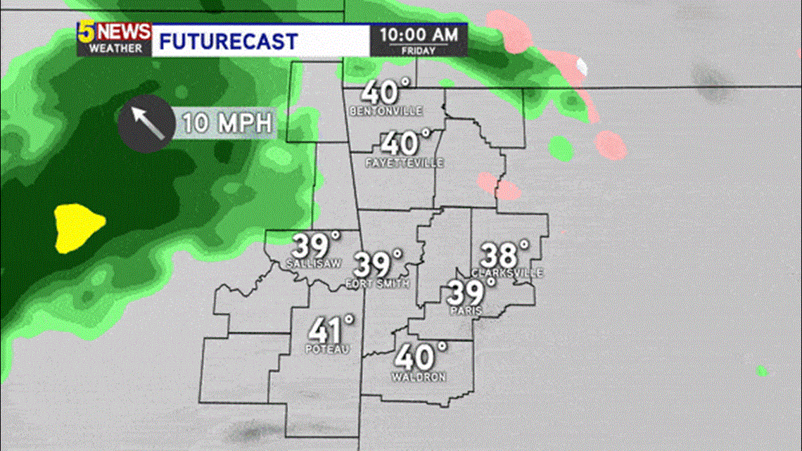
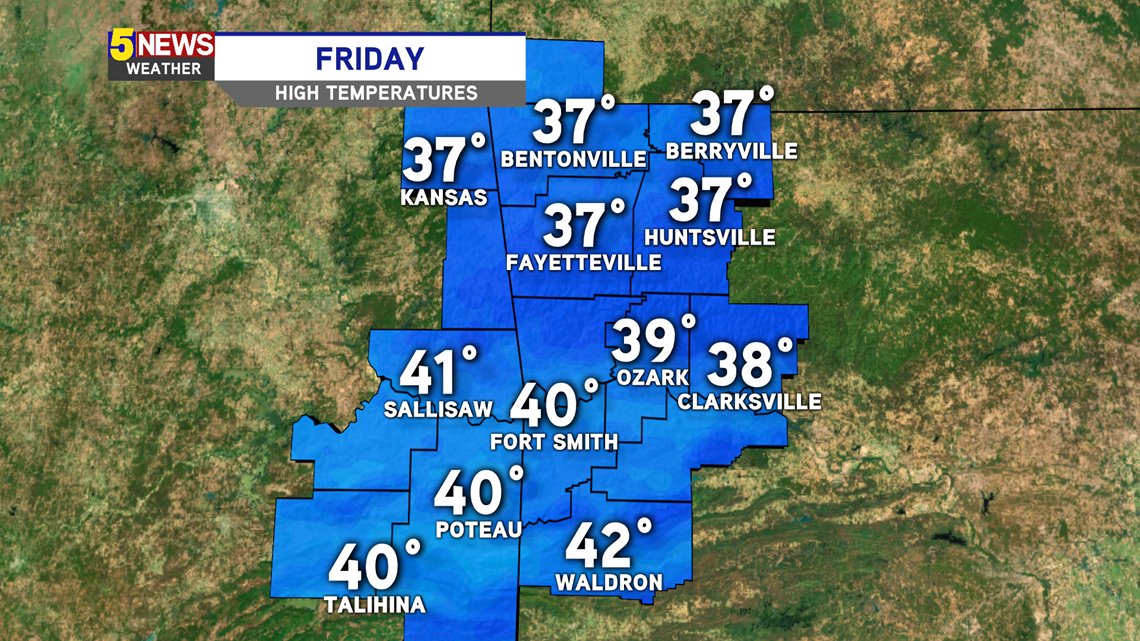
Highs on Friday should stay above freezing, which will keep precipitation mainly liquid.

Rainfall amounts will mostly likely be near one inch by Saturday evening when the system wraps up and heads east.

-Matt