The big weather pattern over the Southern Plains brings us two rounds of severe weather. Today storm chances increase late afternoon as a warm front lifts north. Tomorrow’s storm chances are as a cold front moves through. There’s a chance for storms in between the two rounds, but these likely won’t be severe.

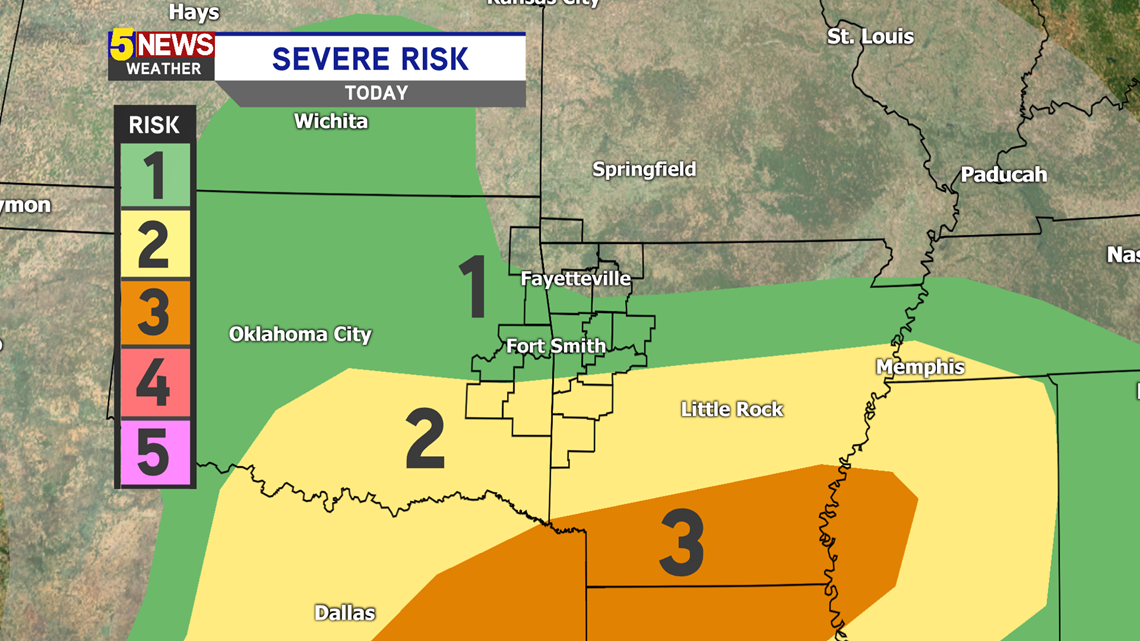
The greatest chance for severe weather will be further south (southern Arkansas). There's a level 2 out of 5 risk south of I-40. Main threats are hail and gusty winds, but a tornado cannot be ruled out.

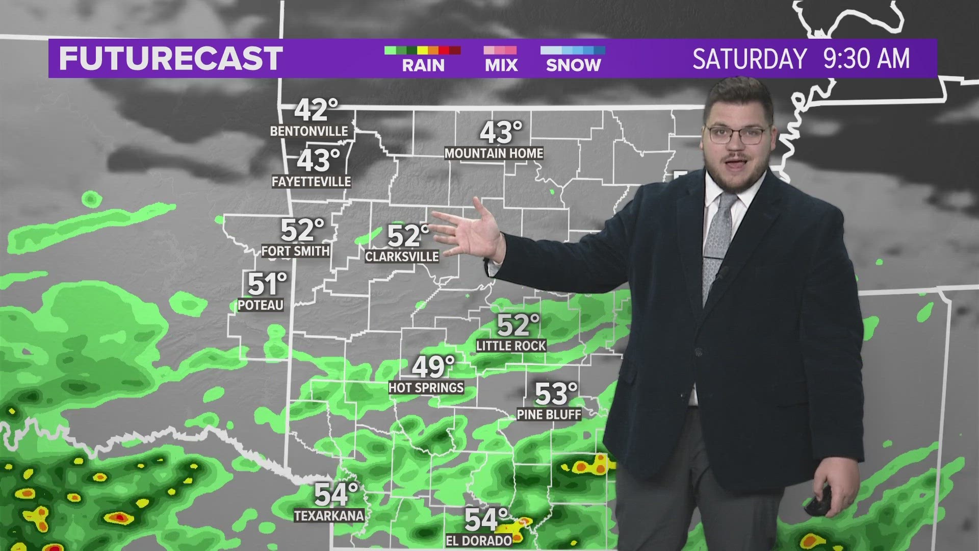
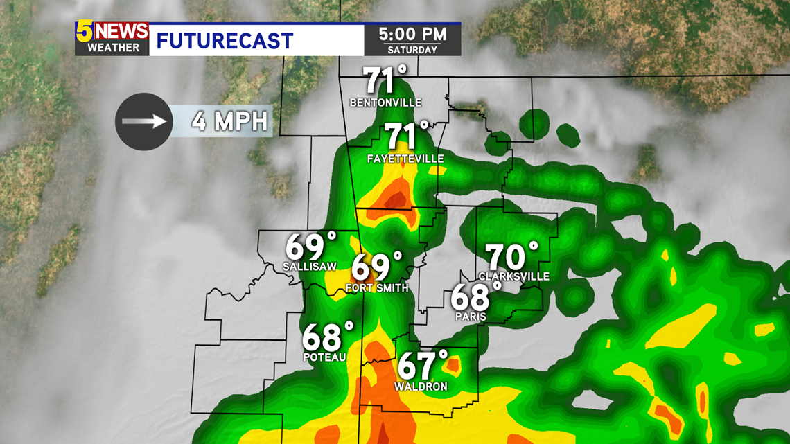
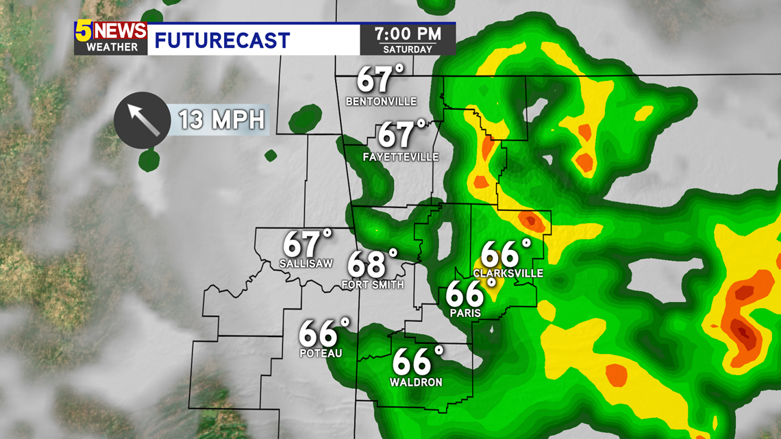
STORM TIMELINE
1PM - We're mainly clear until early afternoon. A few stray showers and storms may develop ahead of the severe weather.

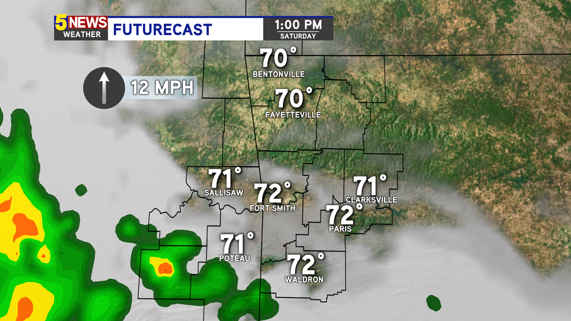
3PM - The severe weather risk starts to ramp up by mid-afternoon. These storms will be scattered as a warm front lifts to the north.

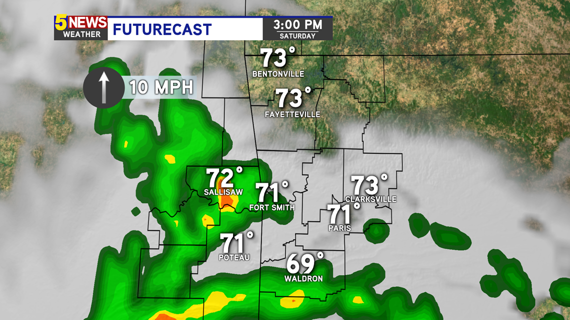
5PM - Strong to severe storms are possible as the warm front moves through. The main time range for the strongest storms will be between 3PM and 7PM.

7PM - The severe risk dies down after 7PM. A few storms may linger after sunset, but the severe risk will be much lower.

-Sabrina