Tap HERE for our interactive radar.
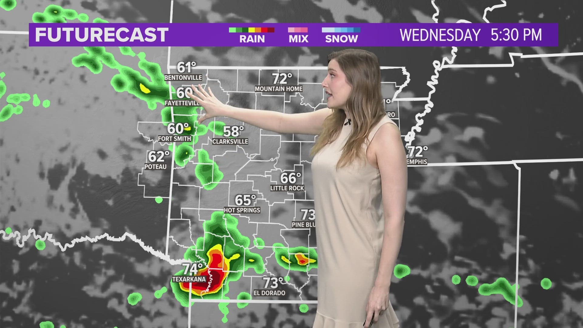
The warm front that will initialize more storms has slowed across southern Arkansas, further delaying and weakening showers and storms for much of the River Valley and Northwest Arkansas.
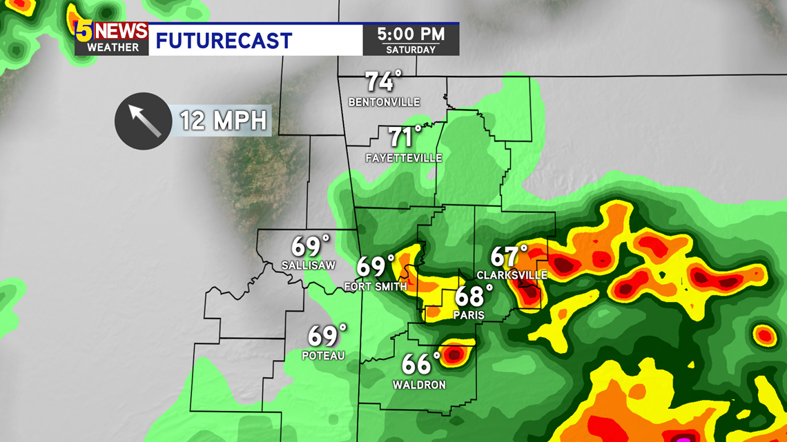
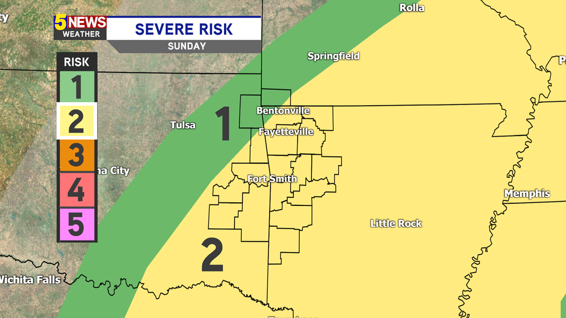
River Valley: Scattered rain and thunder will be likely later in the afternoon, especially east and south of Fort Smith — low severe threat.
Northwest Arkansas: Showers and isolated thunder this afternoon with more storms possible tonight — extremely low severe threat.

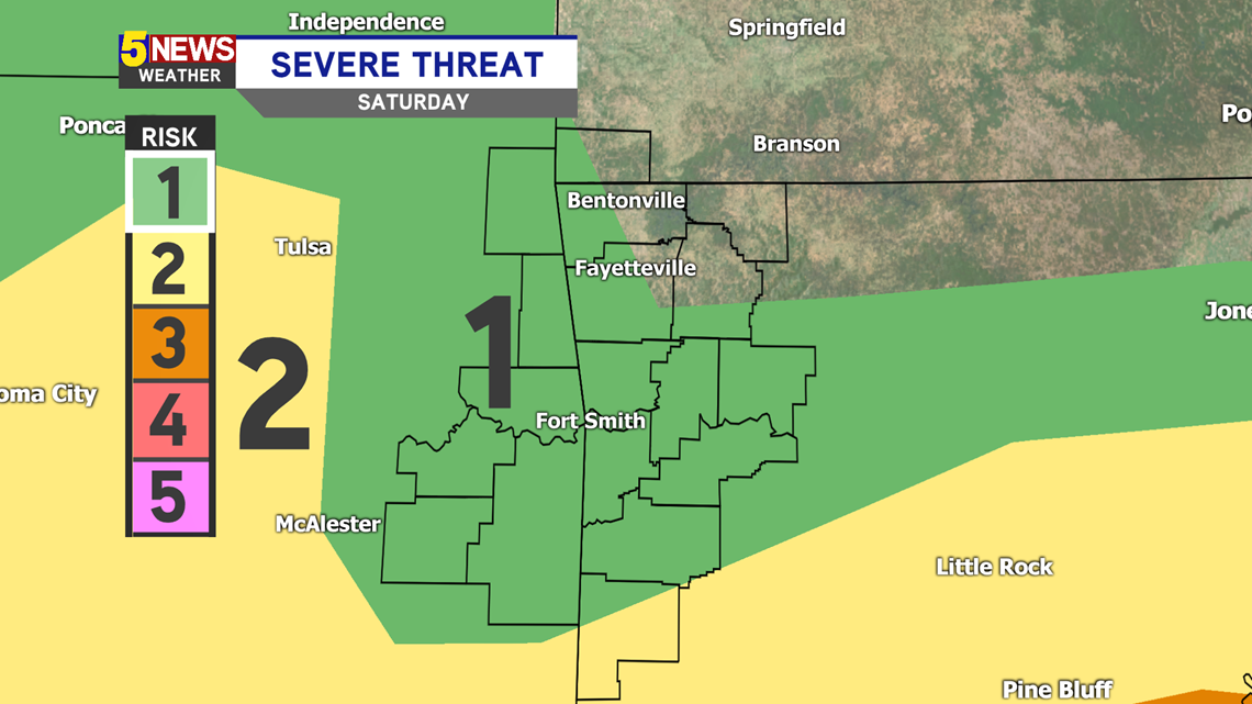
The severe threat has also been lowered across our region by the Storm Prediction Center. Thick cloud cover and the lower dewpoints Saturday afternoon are weakening storms as they push into our region. The atmosphere is having difficulty destabilizing.

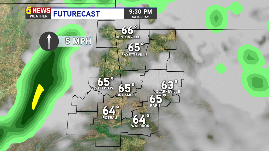
Another round of storms is likely to form west of Tulsa later this evening. This could produce severe hail. However, this line will weaken as it approaches Northwest Arkansas tonight.

More storms are possible throughout Sunday, especially later into the evening as the cold front swings through.

More updates to come later this afternoon.


-Matt