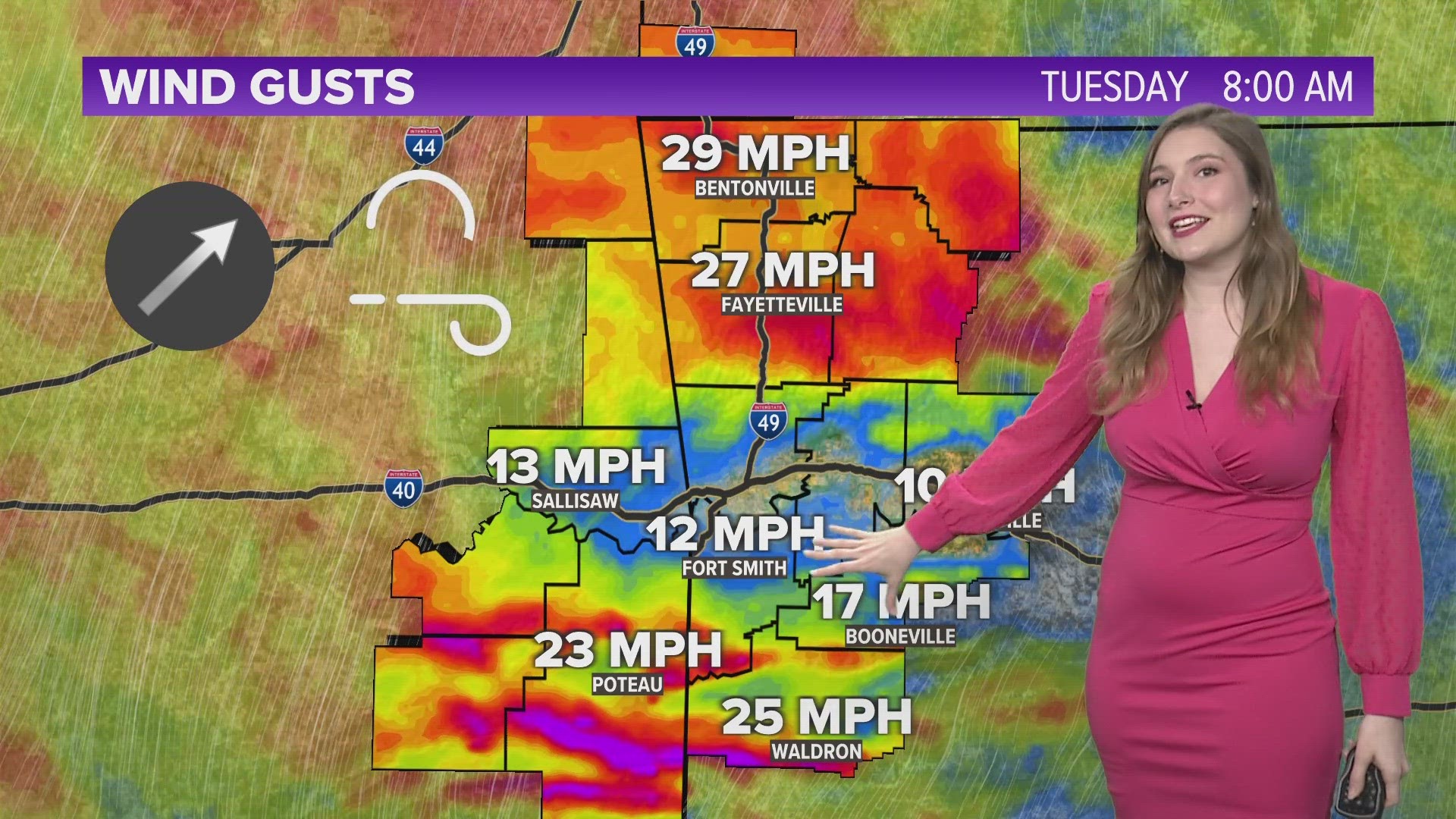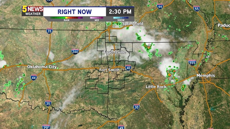

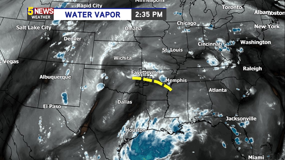
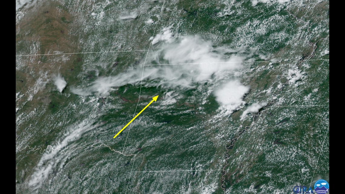
A ripple of energy moving out of Texas caused widespread showers and thunderstorms on Tuesday morning into the early afternoon hours.

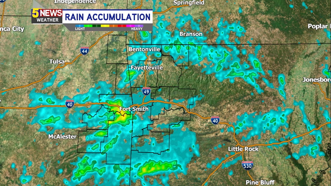
This is a look at the rainfall accumulation across our area. Notice that some of the highest totals were located across Eastern Oklahoma; particularly in Sequoyah and LeFlore county where Flash Flood Warning were issued earlier in the day.

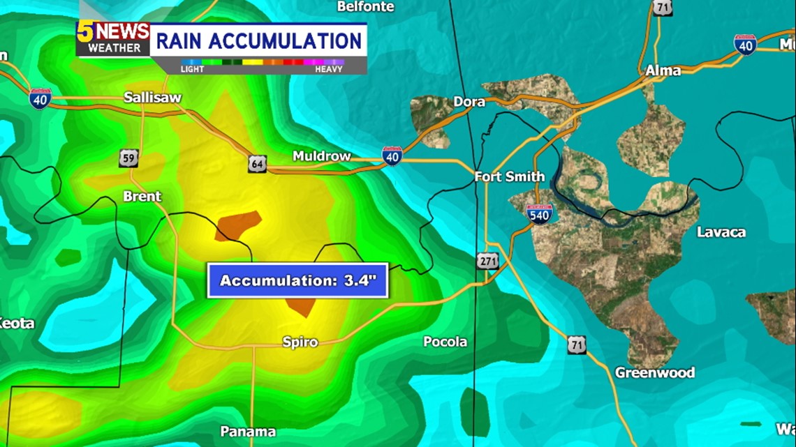
Water rescues were taking place near Spiro earlier on Tuesday where over 3″ of rain fell in just a few hours time.

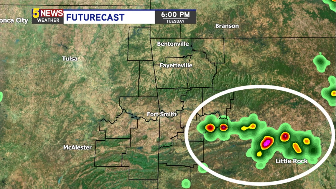
By late Tuesday evening, some redevelopment is possible due to a combination of residual outflow boundaries and a heating difference between cloudy skies and clear skies.

This is the area that didn’t experience much rain earlier in the day and will likely be more unstable with afternoon heating.
Much like the last few days, the any showers that do form with daytime heating will fade after sunset and into the evening hours.
Fewer showers are expected for the remainder of the week with only isolated storms expected. More widespread rain will become common towards late weekend into the first part of next week.
-Garrett