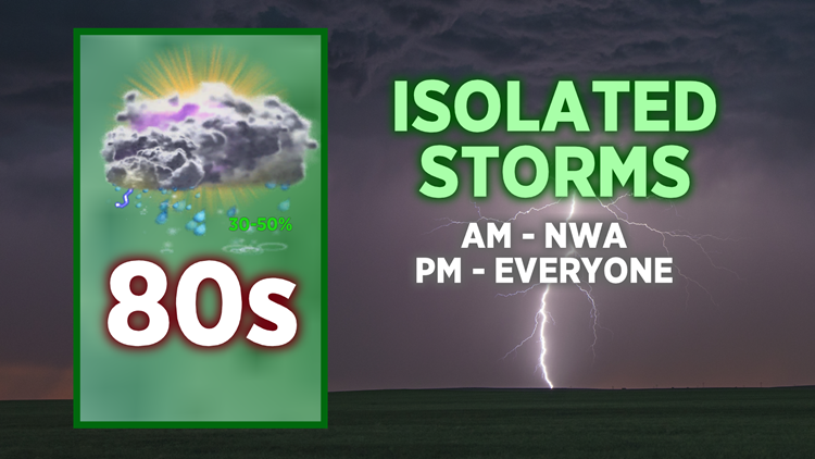
Isolated showers and storms are possible throughout Thursday as a cold front slowly crosses the Arkansas-Missouri state line.
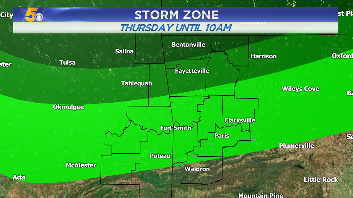
THU AM: Storms mainly in NWA
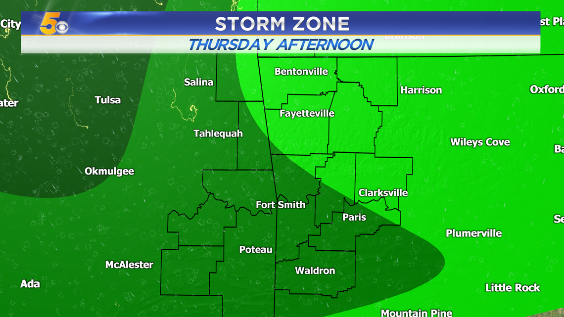
THU PM: Isolated pop-up showers and storms for everyone
VIDEO FORECAST

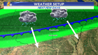
WEATHER SETUP
A cold front is slowly moving south (1-2MPH) will continue to provide atmospheric support for scattered showers and storms the next few days. There will be rounds in the afternoon and overnight hours as well. The heaviest rain is likely to move in for Friday.

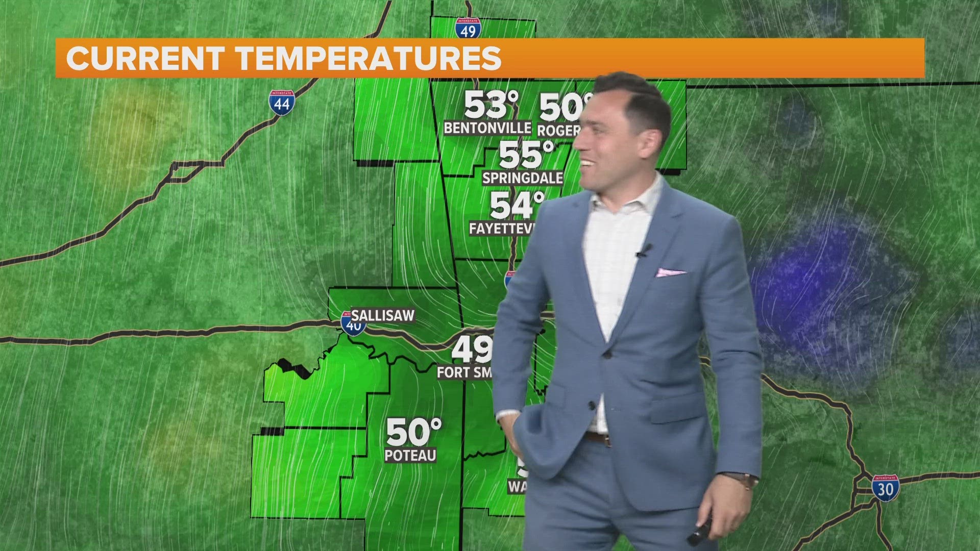
THURSDAY FORECAST
Showers and storms are likely across Northwest Arkansas throughout the morning hours.
Afternoon showers and storms are possible everywhere, but especially throughout the River Valley and eastern Oklahoma.

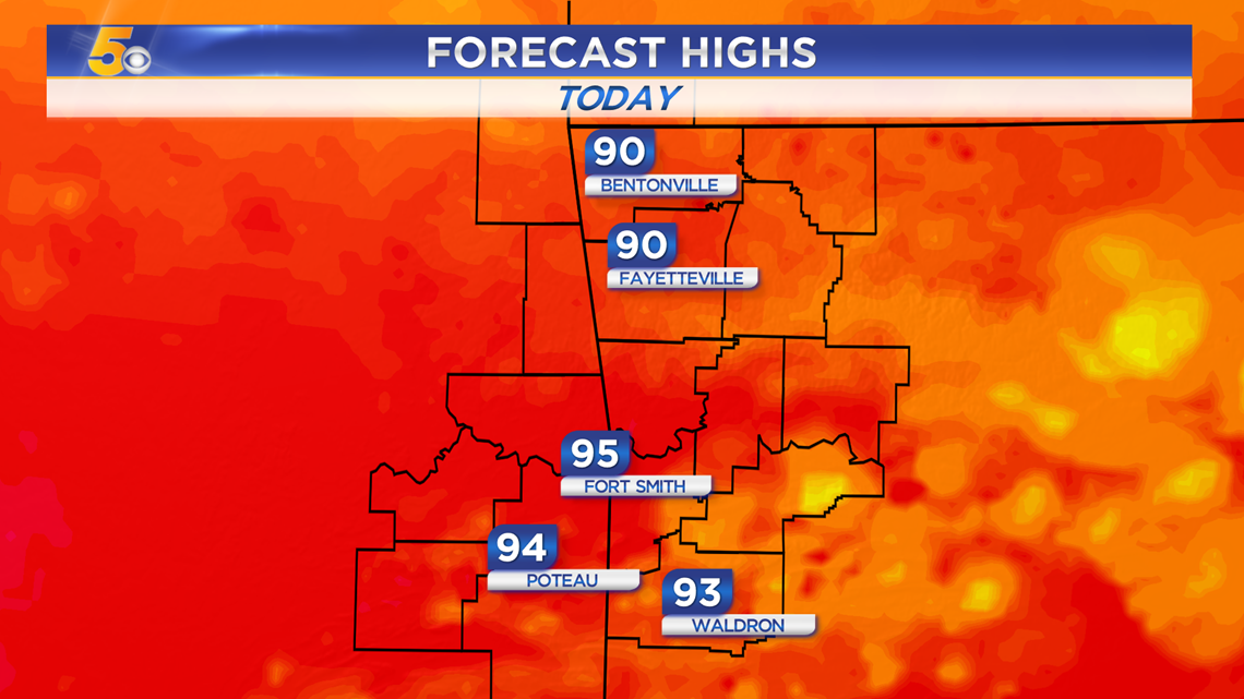
Highs today should stay in the 90s thanks to extra clouds and isolated storms.
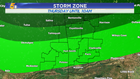
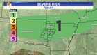
SEVERE RISK
There is a Level 1 Severe Risk for Thursday as some storms could have gusty winds.

-Matt