A weak cold front sits to our northwest and will push through the area overnight. As it moves through, rain will develop ahead of it. Some of the storms could be on the stronger side, but the biggest threat would be some gusty winds.
STORM TIMING
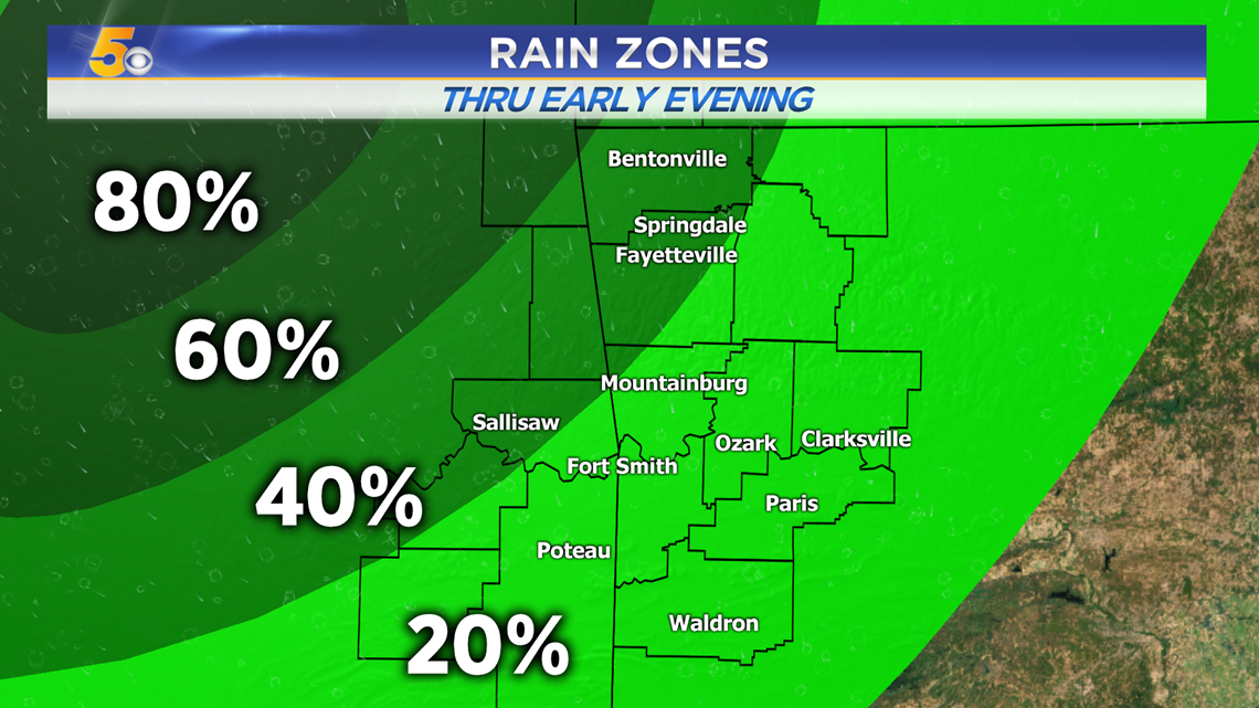
Most of the rain will sit to our northwest along the front through the evening. Some light scattered showers are possible in our area before the front arrives.
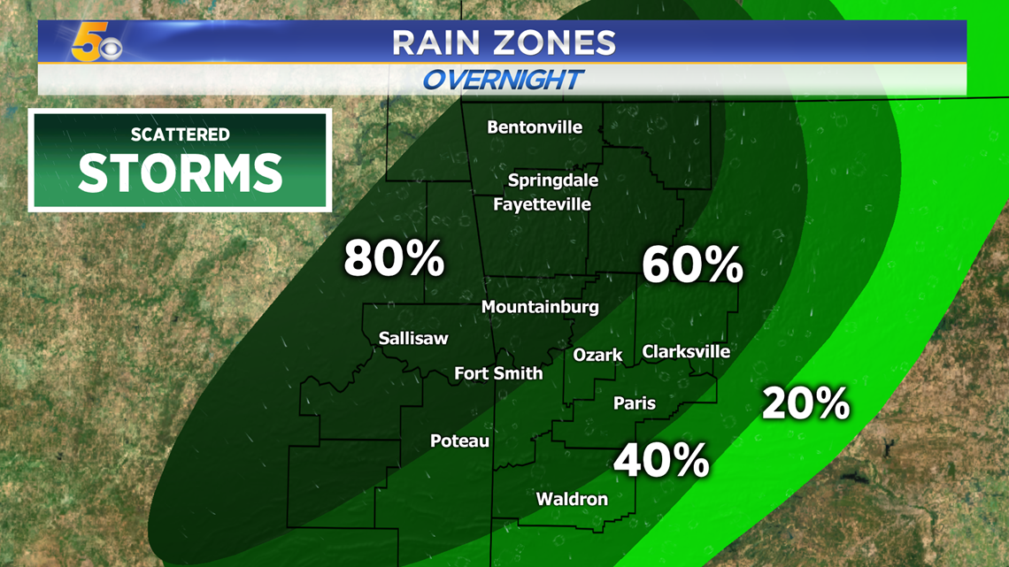
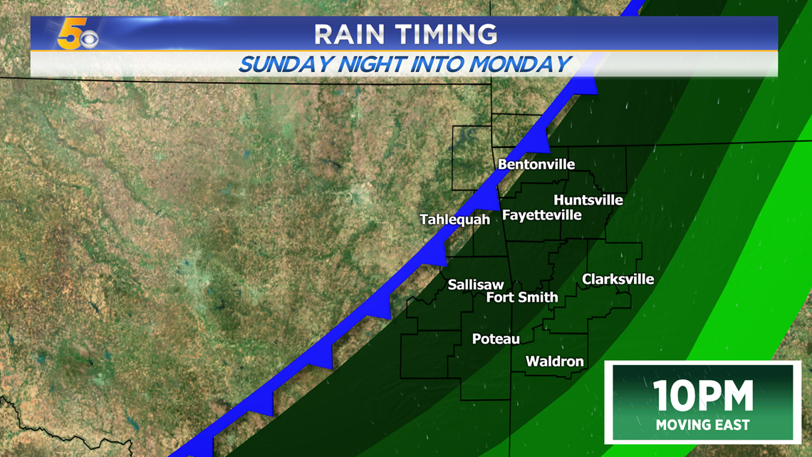
The front moves in overnight, first into Northwest Arkansas, then into the River Valley. This will increase rain chances as it slides through the area.
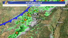
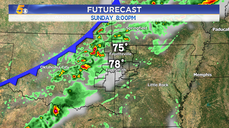
Here’s an idea of where the cold front will be. The heaviest rain will be right in front of it.

The front doesn’t move much overnight, as it sits across the area continuing to drop rain and produce a few storms.
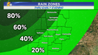
RAIN OUTLOOK
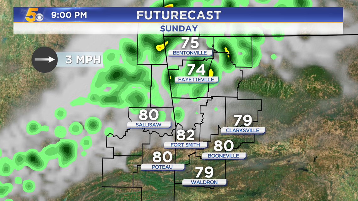
9PM – Showers and storms will be reaching NW Arkansas. Some of these storms could bring gusty winds and heavy rain.
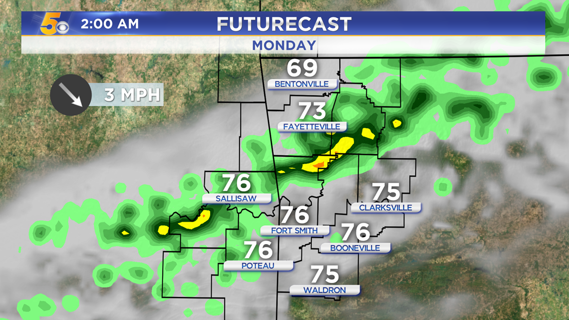
2AM – After midnight, most of the rain will begin to push further south into parts of the River Valley. It should weaken even more as it moves through.
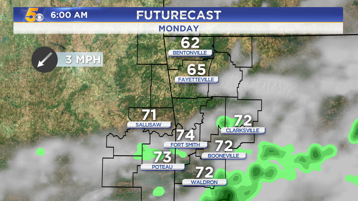
6AM – By the Monday morning commute, a few showers may linger in the River Valley, but most of the rain will be out of the area.

-Sabrina