Heavy rain and thunder will be impact most of Tuesday morning and the early afternoon, with scattered storms likely late in the day. A FLASH FLOOD WATCH is in effect until 4PM for much of the area as rainfall totals will range from 1″-3″ or more. Tap HERE for our interactive radar.
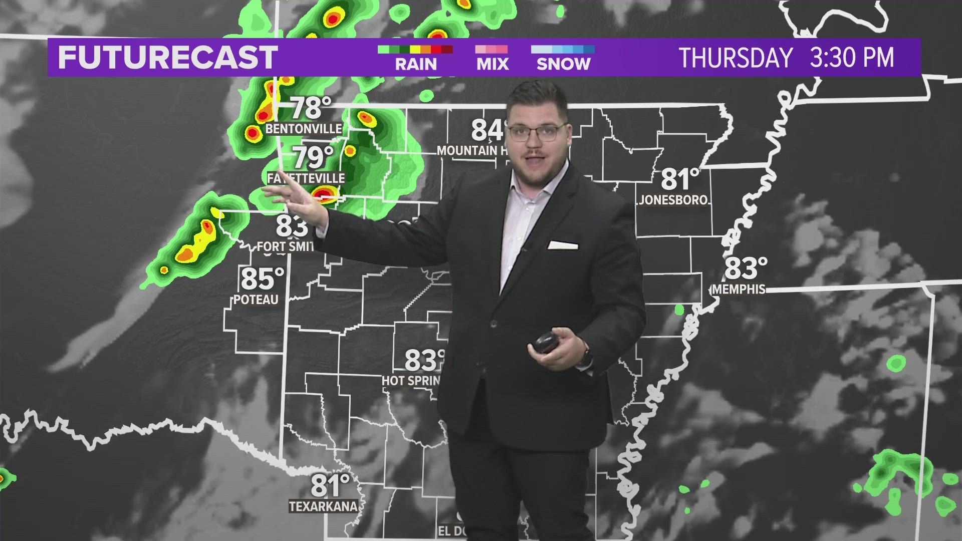
VIDEO FORECAST
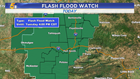
FLASH FLOOD THREAT
A flash flood watch is in effect for all of Northwest Arkansas, the central River Valley, and eastern Oklahoma until 4PM.

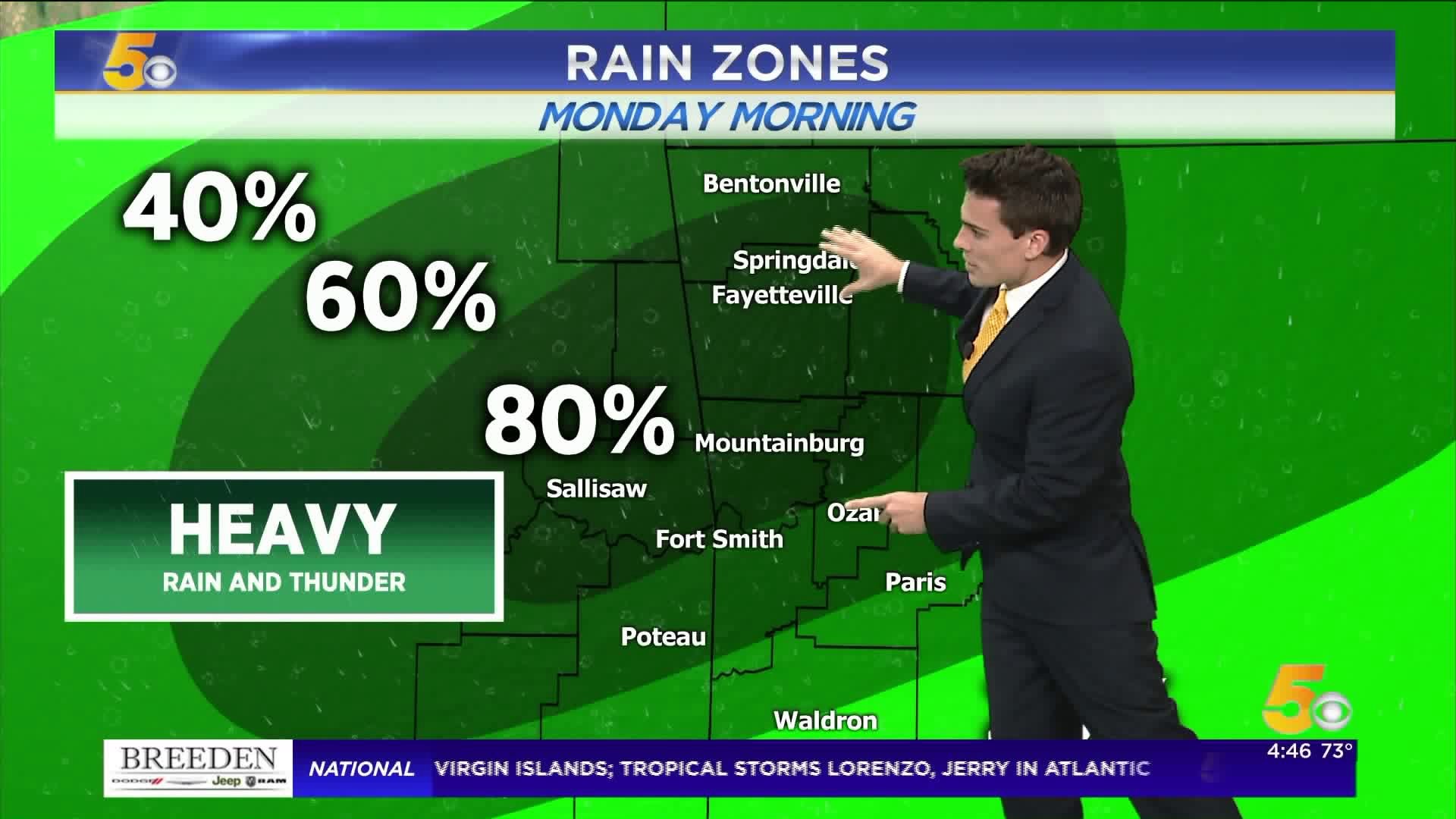
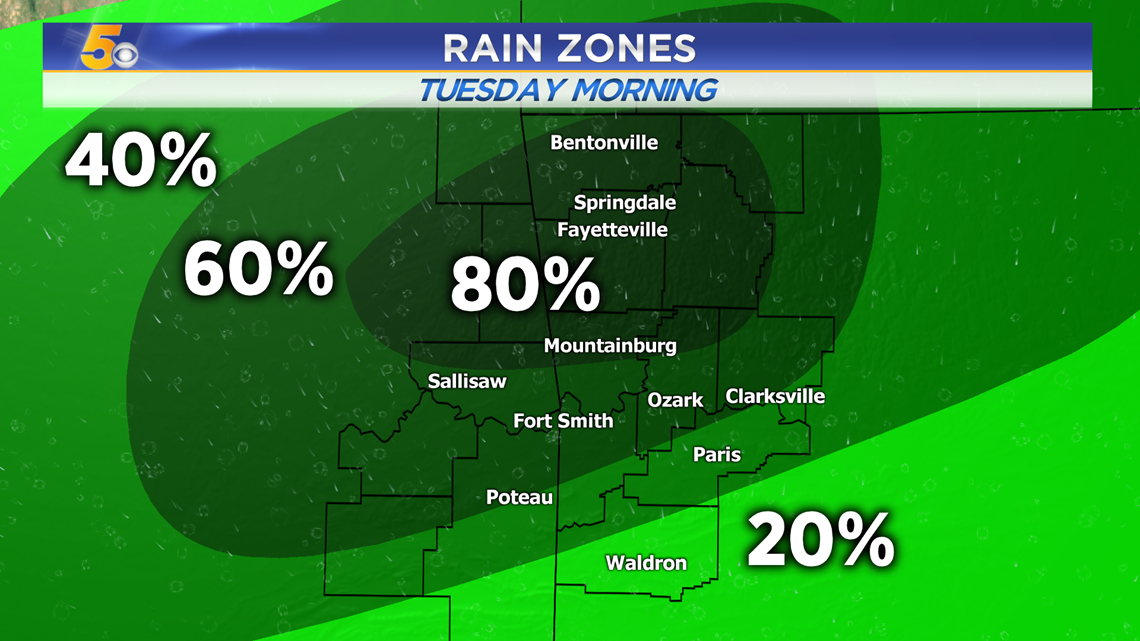
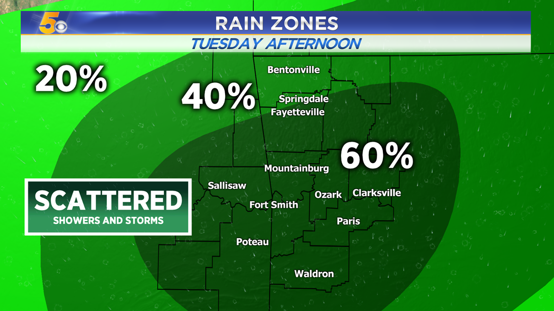
RAIN ZONES
Tuesday Morning:
Tuesday Afternoon:

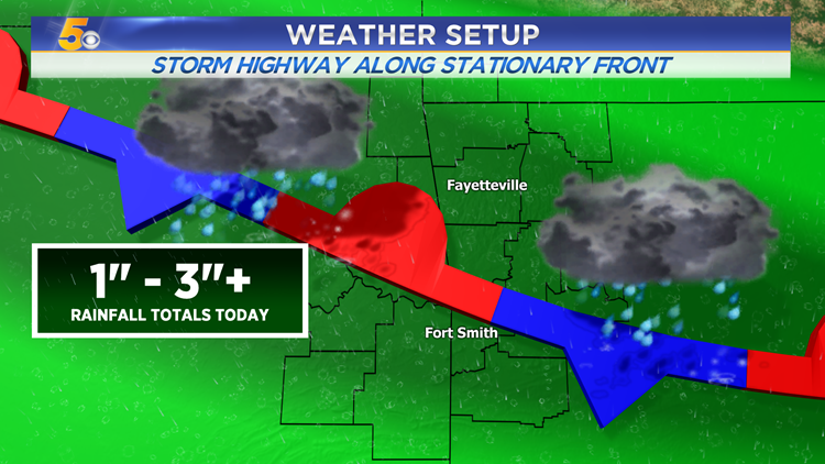
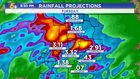
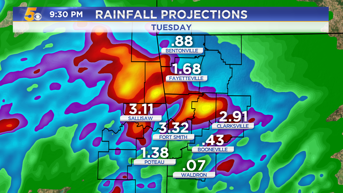
RAINFALL TOTALS
Overall, the heaviest rain will fall along the Arkansas-Oklahoma state line from the Arkansas River north towards Siloam Springs.
WEATHER SETUP
Yesterday's cold front has stalled out and becomes a breeding ground for showers and storms to form, as if a storm highway. Several rounds of rain are expected to move from Oklahoma into Arkansas throughout the morning and early afternoon.
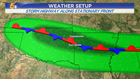

This front will eventually lift north and reduce rain chances a bit later this week.


-Matt