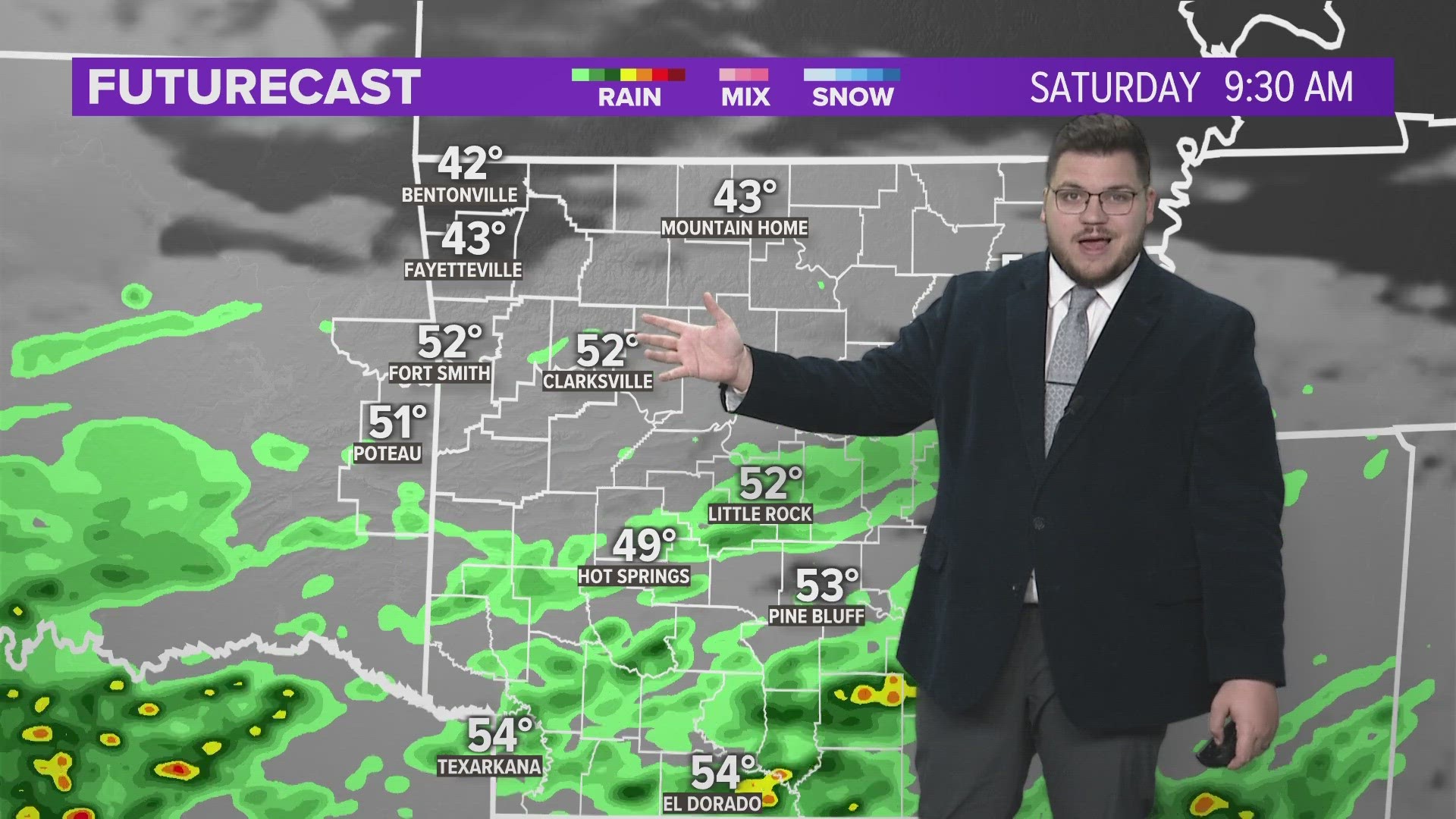
Ahead of a cold front, showers and storms developed and pushed through early Saturday morning. Behind the rain, we begin to clear out. Dry weather is expected through the weekend and as we start the week ahead.
STORMY MORNING
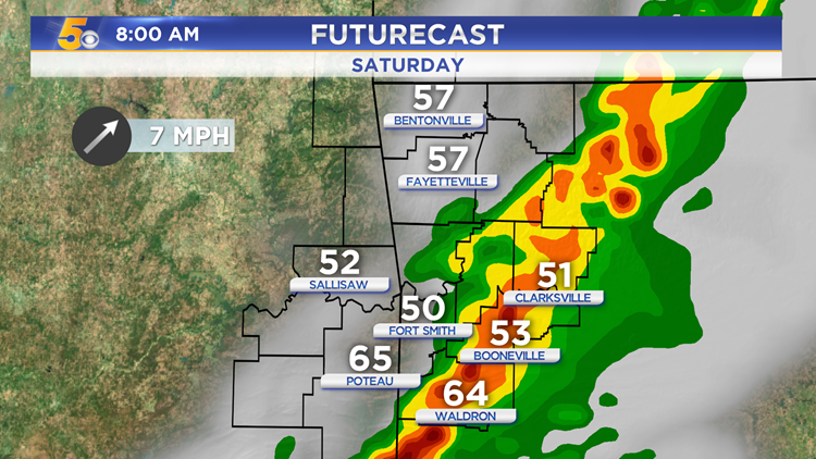
The line of storms continues to push further east early Saturday morning. The storms should stay below severe limits, but gusty winds and small hail are possible.


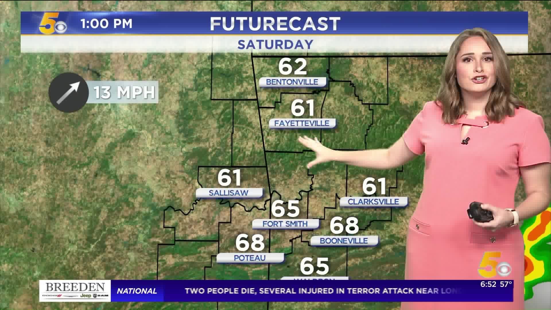
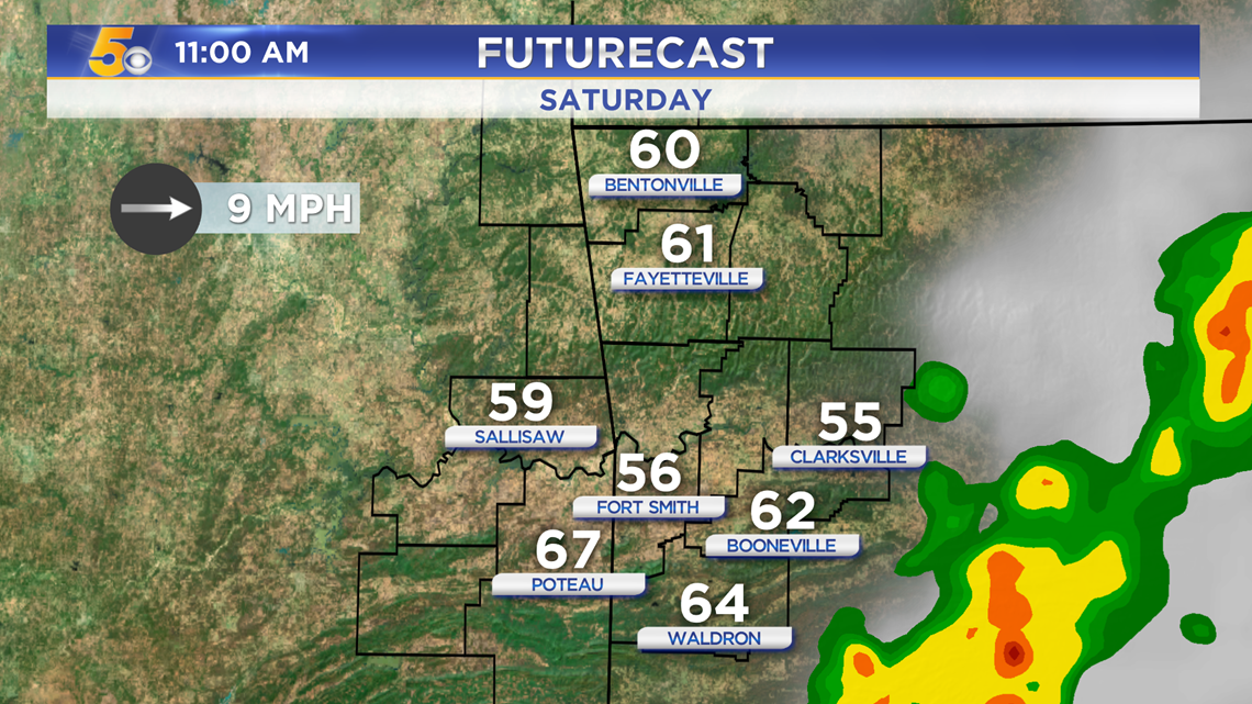
By late morning, the rain will be out of the area. The clouds will begin to break and the sun will peak out.

WARMER THAN NORMAL
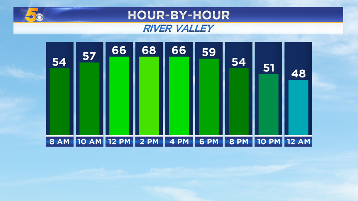
Temperatures will be in the 60s for most of Saturday, before they begin to drop overnight.

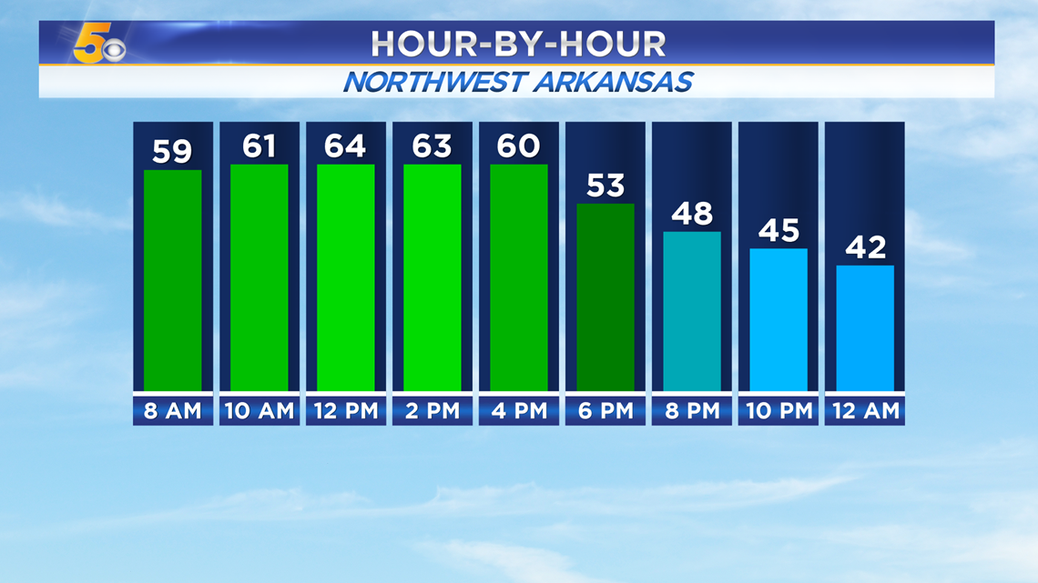
High temperatures will be in the mid 60s. A surge of cooler air pushes in overnight, dropping temperatures for Sunday.

-Sabrina