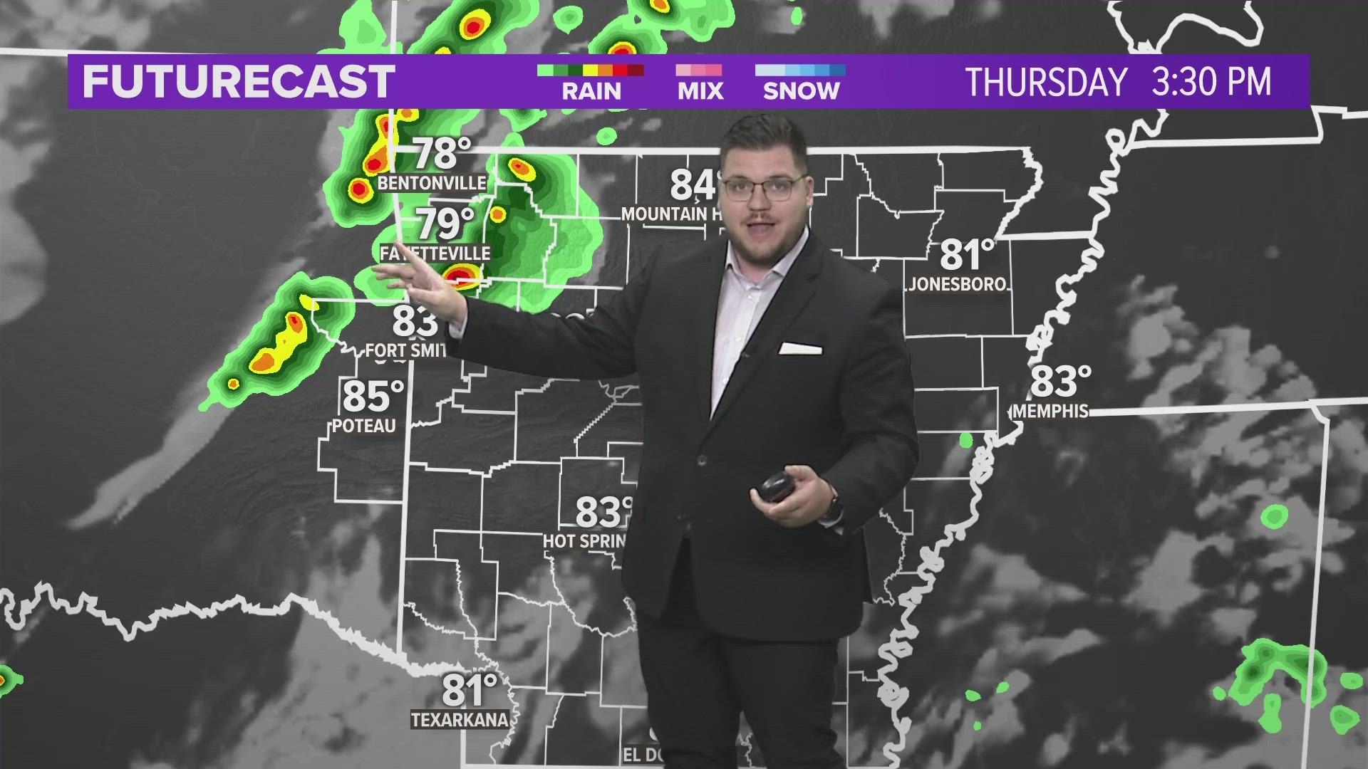


Rain will change to snow as cold air pours in behind the stormy system Friday night. Expect rain to freezing rain to sleet to snow. Snow totals will be somewhat limited due to recent warm weather and warmer than normal ground temperatures.
The locations and amounts of snow will likely change as the system evolves and the dry air wraps into the system
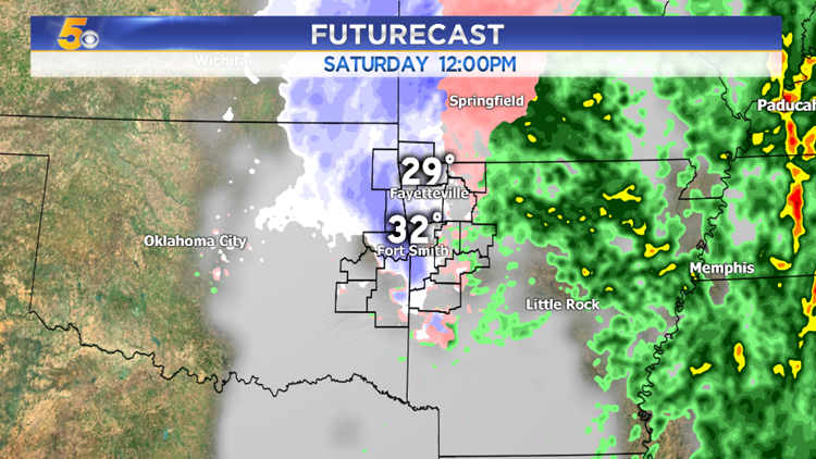
This is a look at where the snow is most likely to fall as of Thursday afternoon. Check back for the latest forecast information.

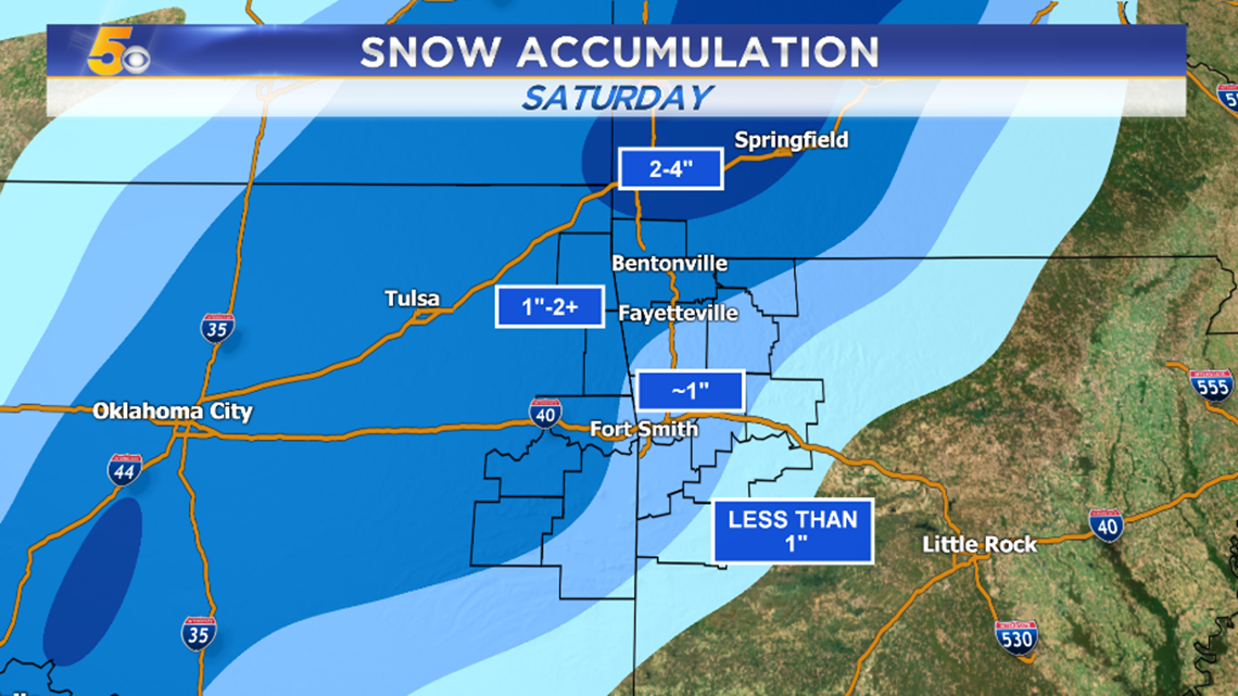
The heaviest snow totals will likely be in Missouri with upwards of 4″ possible from Kansas City and points to the east.

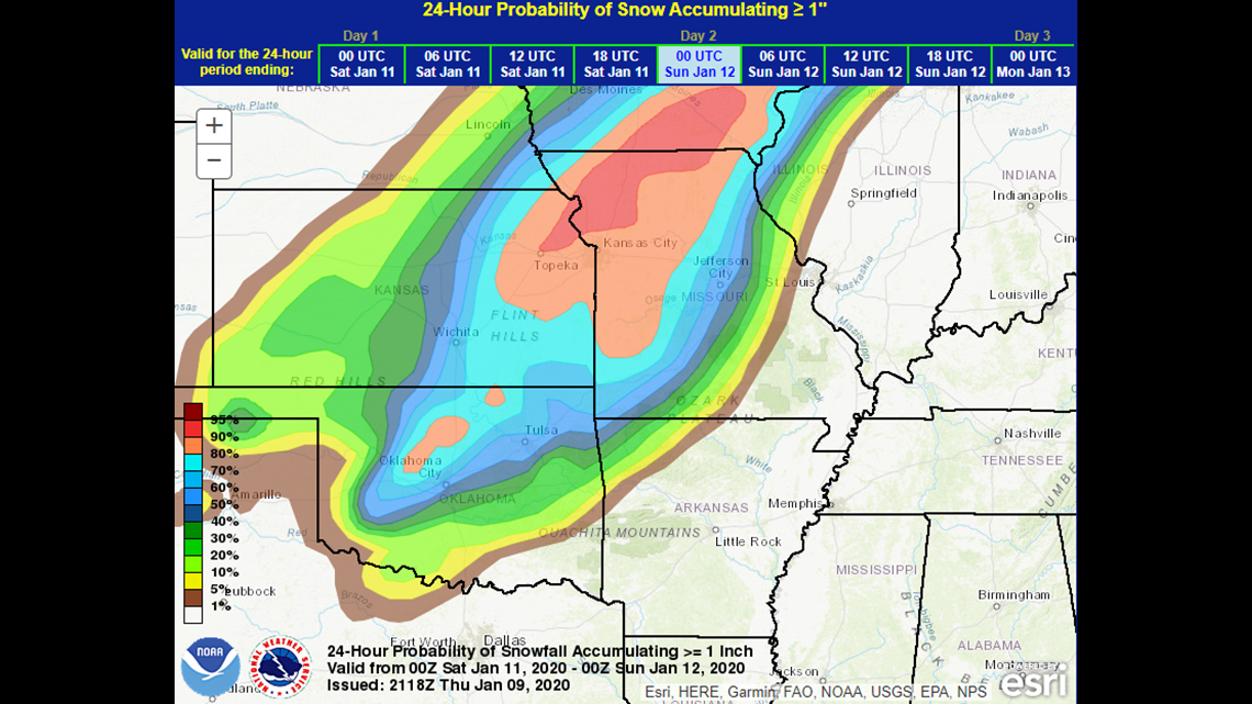
These are the probabilities for 1″ or more of snow. The highest chance for 1″ is to our north in Missouri. Higher snow chances will also be possible NW of Tulsa.
Locally, the highest chance for 1″+ of snow will be NW Arkansas with lower amounts to the southeast.
This forecast is dependent on the track of the system and how much dry air the low pulls in; this will change in the next 24-hours as the forecast becomes clearer.
-Garrett