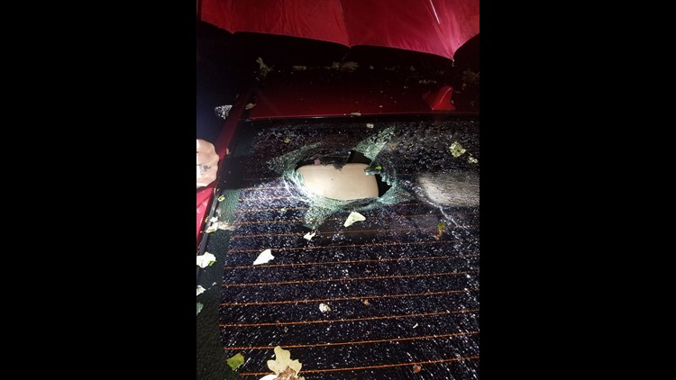
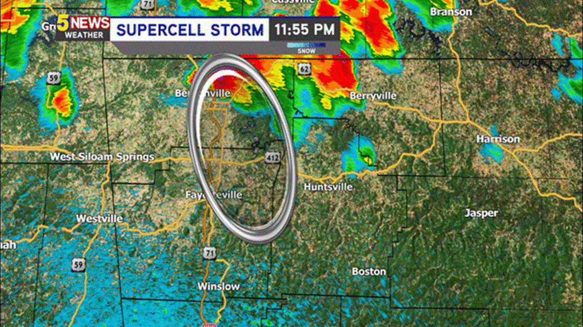
A supercell thunderstorm tracked across NW Arkansas late Friday night and early Saturday morning causing widespread hail damage to most of eastern Benton & Washington County. The worst hail damage appears to be in the Elkins and Durham area where hail was larger than baseball size.

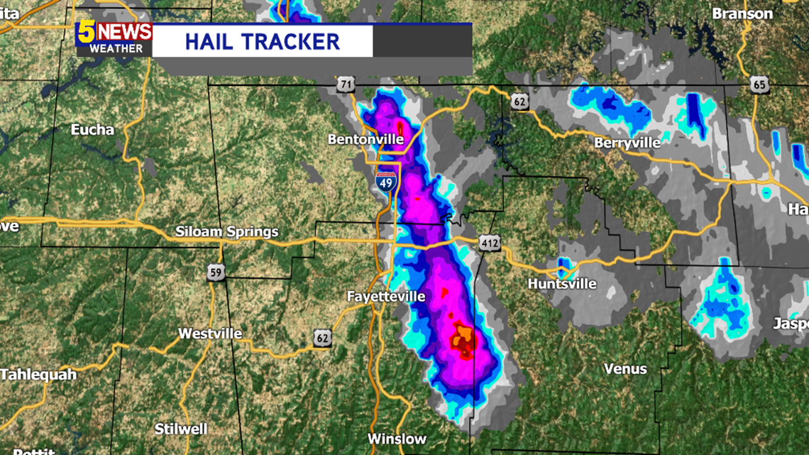
This map shows the path of the elevated supercell storm and the location of the worst hail that fell on Friday night and early Saturday morning.


Hail was also blamed for knocking out windows in both vehicles and homes in Elkins area on Friday evening.

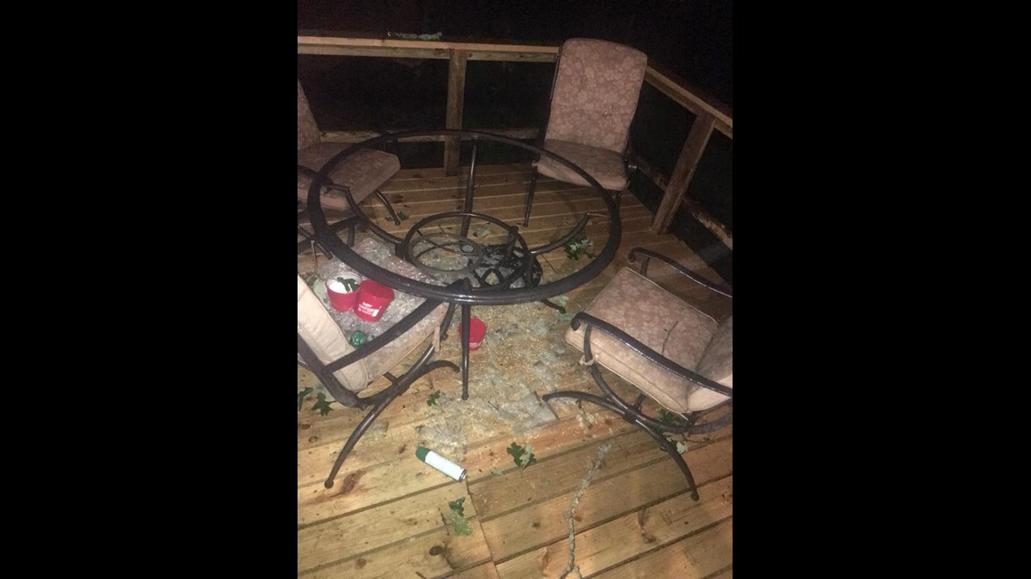
Storm damage will be extensive from the hail in this part of Washington County.
If you experienced hail, you’ll need to check with your insurance agent to evaluate your roof. Often times hail damage does not appear until a year or two later.

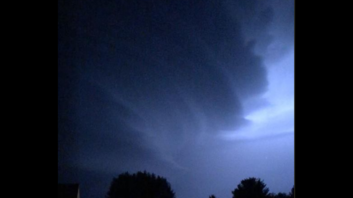
Trees and powerlines were reported down on Highway 72 near Rogers. There were also trees down in Pea Ridge.
Numerous other hail reports came in from across Benton & Washington County, as well.
Stay tuned for updates on 5NEWS Saturday.
-Garrett


