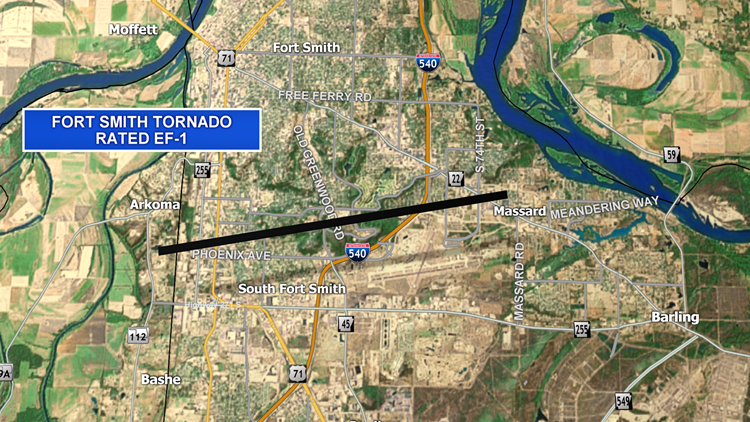
The National Weather Service (NWS) in Tulsa has released new information regarding Saturday’s tornadoes that rolled through Sebastian and Crawford counties.
The survey team determined the length, width, and duration of each EF-1 tornado path.
Fort Smith Tornado: EF-1
- Path length – 5.3 miles
- Path width – 450 yards
- Estimated peak winds – 95 to 105 mph
- On the ground between 1:55PM and 2:04PM (9 minutes)

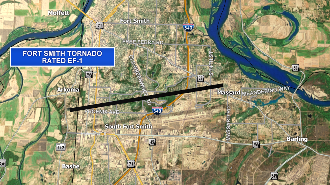
The tornado began southwest of Arkoma and travelled east-northeast across Fort Smith. It dissipated once it crossed Rogers Ave. Trees were uprooted, houses and businesses were destroyed, and power poles were snapped.
Greenwood Tornado: EF-1
- Path length – 3.5 miles
- Path width – 600 yards
- Estimated peak winds – 100 to 110 mph
- On the ground between 1:59PM and 2:04PM (5 minutes)

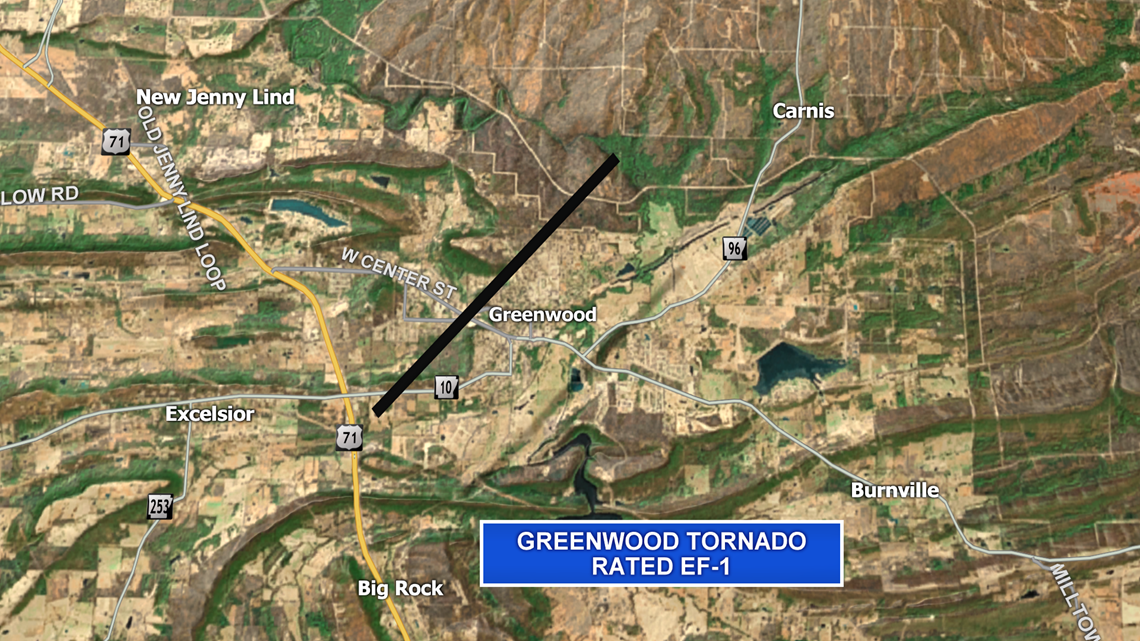
The tornado began northwest over Greenwood and moved northeast over the northern portion of town. The peak winds were 1MPH away from the EF-2 rating.
Barling Tornado: EF-1
- Path length – 2.9 miles
- Path width – 400 yards
- Estimated peak winds – 90 to 110 mph
- On the ground between 2:04PM and 2:09PM (5 minutes)

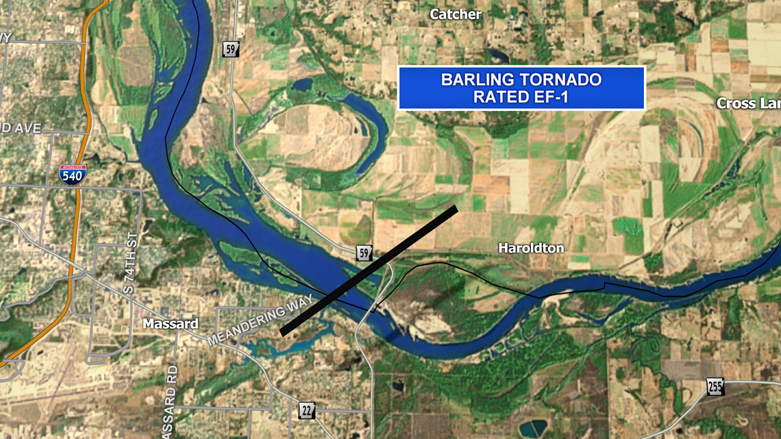
The tornado developed north of Highway 22 and west of Highway 59. It crossed the Arkansas River into Crawford county. The peak winds were 1MPH away from the EF-2 rating.
Charleston Tornado: EF-1
- Path length – 7.3 miles
- Path width – 1000 yards
- Estimated peak winds – 95 to 105 mph
- On the ground between 2:10PM and 2:19PM (9 minutes)

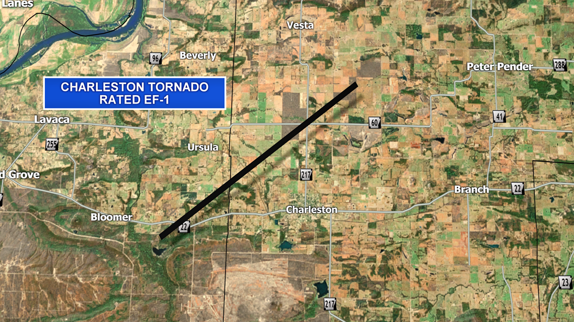
The tornado developed south of Highway 22 west of Charleston and moved northeast to the north side of town.
Mulberry Tornado: EF-1
- Path length – 1.6 miles
- Path width – 300 yards
- Estimated peak winds – 85 to 95 mph
- On the ground between 2:25PM and 2:27PM (2 minutes)

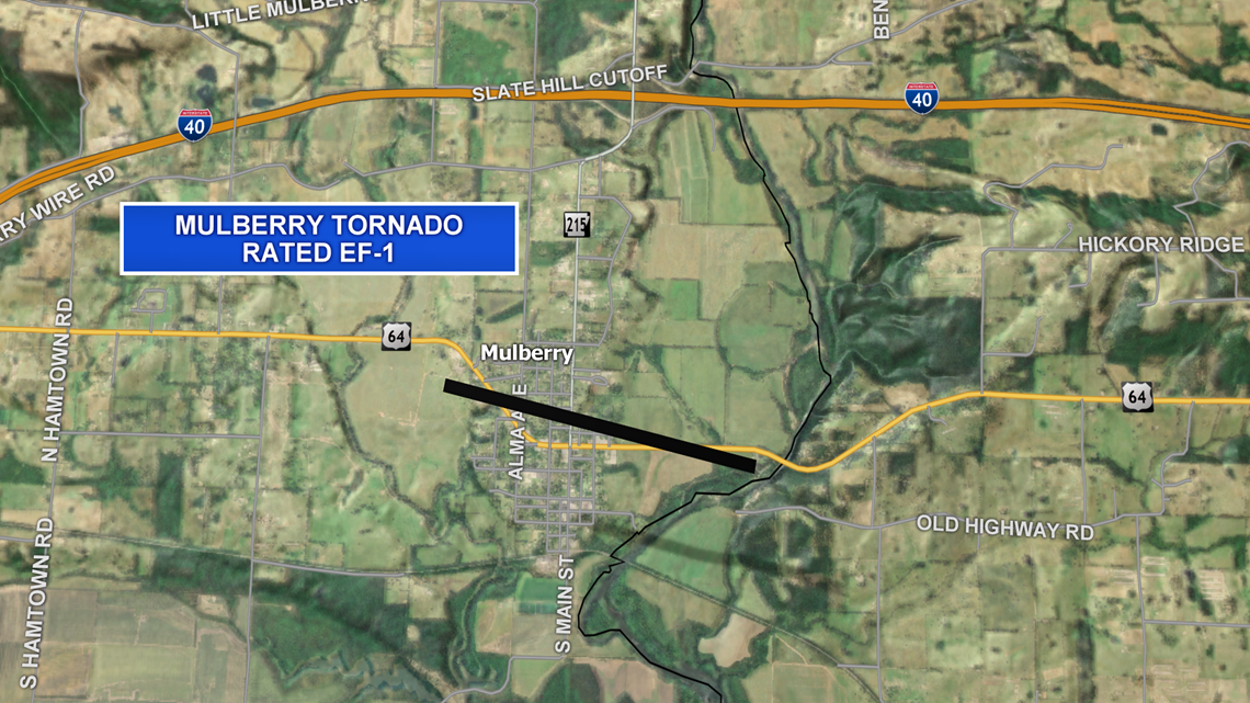
The tornado developed on the west side of Mulberry and moved east across town.
Each of these 5 tornadoes were considered “weak” by the NWS. None of these tornadoes caused any injuries.
-5NEWS Weather


