FAYETTEVILLE (KFSM) - An online interactive map from the Bicycle Coalition of the Ozarks will help people in Northwest Arkansas navigate the Razorback Greenway, and just in time for construction to finish this spring.
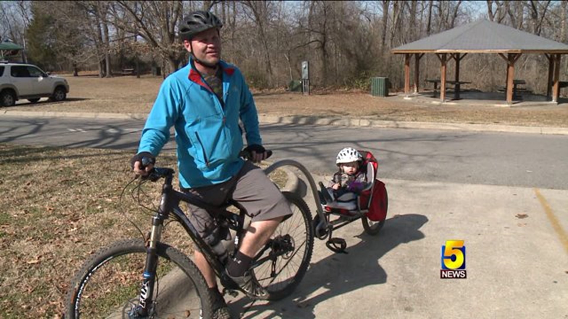
Eric Coleman and his 13-month-old son hit the trails nearly every day, and Coleman said he's enjoyed watching the progress made on the Greenway.
"It's nice to see so many people and I've been riding these trails since about 2005, and I see more and more people on them all the time, so it's kind of nice everybody getting out and geting to enjoy what we have here in Northwest Arkansas," Coleman said.
Coleman said he'll be taking advantage of the interactive map. According to executive director Paxton Roberts, the map shows users where they can find amenities, as well as the paved and unpaved sections of the trail.
"Whenever we take trips, we take our bikes with us, and we try to find where trails are in the area," Coleman said.
Roberts says a beta-version of the map is online now, and the finalized version will be released in the next 2-3 weeks. Trail user Jack Stevens said he will use the map to check out which route he wants to take that day.
"To have an app that tells you what to do, and how to get there and what's on there, would be absolutely terrific," Stevens said.
Stevens is a life-time Springdale resident, and said he remembers how the trail used to be.
"I remember this as dirt, it wasn't this way, it was a little bitty trail like that right there," Stevens said.
Once completed, the trail system will stretch from south Fayetteville to Bella Vista. The dedication of the Razorback Greenway is set for May 2, 2015. Roberts said the coalition is hoping to have a smart phone application version of the map ready to unveil by then.

