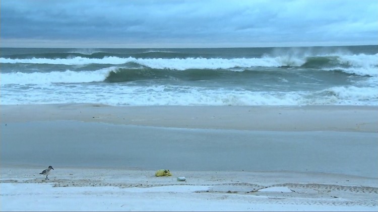
(CNN) — Subtropical Storm Alberto made landfall Monday afternoon near Laguna Beach, Florida, according to the National Hurricane Center.
Alberto will continue to bring the threat of flooding to the Southeast United States, spreading moisture across the region into the middle of the week.
The storm’s winds continued to slow to maximum sustained winds of 45 mph as it made landfall west of Panama City on the northern Gulf Coast. Alberto was moving north at 9 mph on Monday.
Storm Alberto has already disrupted plans for Memorial Day barbecues and beach outings in Alabama, Florida and Mississippi, as it churned into the Southeast.
There was no significant damage or injury related to Alberto in Bay County, Florida and only a few power outages, said Valerie Sale of the Office of Emergency Management.
Instagram user Melody Kay Carroll posted a video clip of wind and rain in a Panama City parking deck. She said, “strong squalls off and on” had kept her inside.
The heaviest rain bands and strongest winds began coming ashore around 10 a.m. Monday in Panama City Beach.
A Tropical Storm Warning is in effect for the northern Gulf Coast from the Suwannee River to the Alabama-Florida border, the National Hurricane Center said in its 2 p.m. ET update.
The three states likely to bear the brunt of the storm have begun preparing states of emergency.
Florida Gov. Rick Scott issued a declaration for all 67 counties in his state. Mississippi Gov. Phil Bryant authorized the use of the National Guard, his office said.
Alabama Gov. Kay Ivey issued a state of emergency for 40 counties, starting at 6 a.m. Sunday. Ivey activated the state’s emergency operations center while the Alabama National Guard activated its high water evacuation teams.
Flash flooding risk
Cuba and the Southeastern United States, including Florida, are at risk of flash flooding on Monday, the NHC said in its latest update. Mudslides are also possible in Cuba, the NHC said.
Alberto could bring isolated storm totals of 20 to 25 inches of rain to central Cuba and up to 12 inches in areas of the Florida Panhandle into much of Alabama and western Georgia, the NHC said. The Florida Keys and Florida peninsula could receive 10 inches of rain in some areas.
“Heavy rainfall will lead to a significant risk of flash flooding across the Florida Panhandle, much of Alabama, and western Georgia through tonight, spreading northward into northern Georgia, the western Carolinas, and Tennessee on Tuesday,” the NHC said.
Meanwhile, a Storm Surge Watch is in effect for the Suwannee River to Mexico Beach, Florida.
“The combination of storm surge and the tide will cause normally dry areas near the coast to be flooded by rising waters moving inland from the shoreline,” the NHC said, with water potentially reaching 2 to 4 feet above ground if the peak surge occurs during high tide.
Brief tornadoes possible
Brief tornadoes are possible from northern Florida into central and southern Georgia, southern South Carolina and southeastern Alabama.
“Alberto will likely become a subtropical depression tonight or early Tuesday and degenerate into a remnant low by Tuesday afternoon,” the NHC said.
Authorities in New Orleans urged residents and businesses to “get prepared and stay informed” about the storm. The main threat is from heavy rain that could lead to flooding, the city said, but also high winds and storm surge could cause problems.
“I strongly encourage everyone to be safe and stay informed,” Mayor LaToya Cantrell said in a statement.
Hurricane season doesn’t officially begin until June 1, but Alberto apparently missed the memo. The tropical system became a subtropical storm Friday, the National Hurricane Center said.
The early storm doesn’t necessarily mean this year’s hurricane season will be as busy as last year’s, though. The season is likely to be “near or above normal,” according to the NHC.


