GARFIELD, Ark. — The National Weather Service (NWS) Tulsa survey team has confirmed that two EF1 tornados occurred in Northwest Arkansas on April 2.
The confirmation comes after an NWS team found tornado damage in Benton County.
The first tornado had a 2.8 mile path with an estimated wind peak of 90 to 100 mph. It started around 12:33 a.m. on April 2 at Hill Top and ended in Garfield.
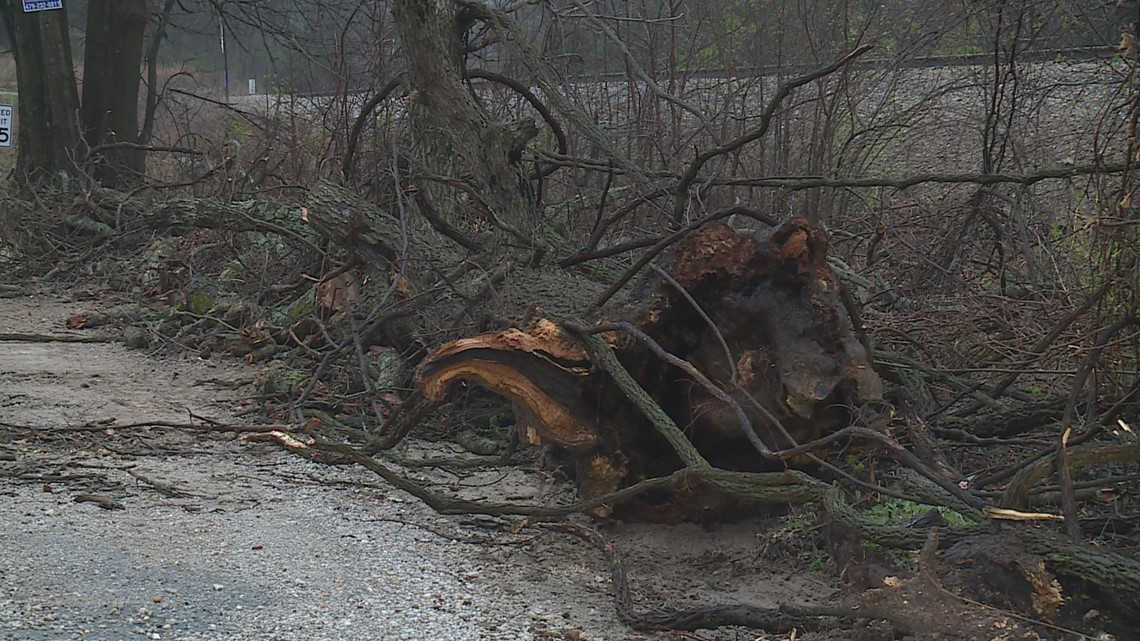
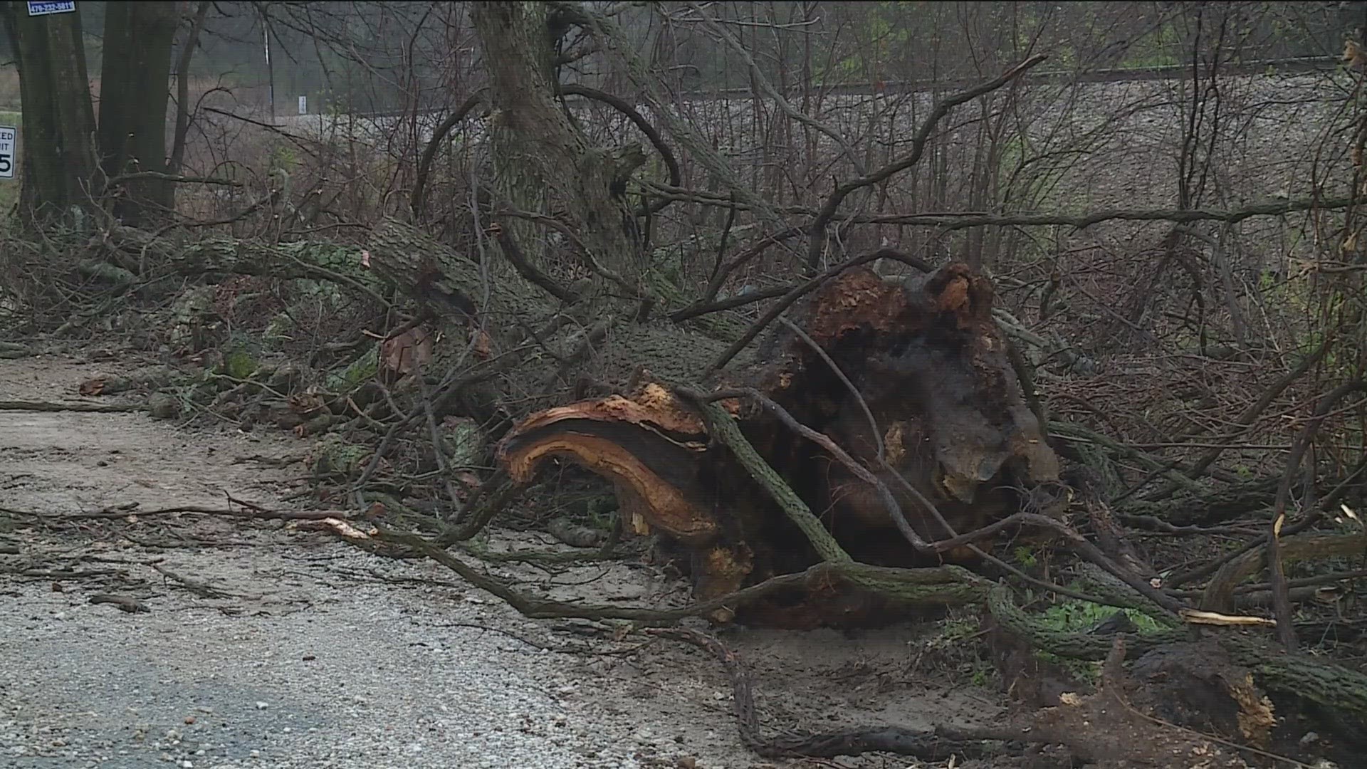
"This tornado developed over the northeastern side of Pea Ridge National Military Park, northwest of Elkhorn Tavern. It moved east-northeast uprooting numerous trees on N Old Wire Road, and Limekiln Road. The tornado dissipated east of Limekiln Road," NWS said.
The second tornado had a 2.4 mile path with an estimated wind peak of 90 to 100 mph. It started around 12:35 a.m. on April 2 in Hill Top and ended in Garfield.
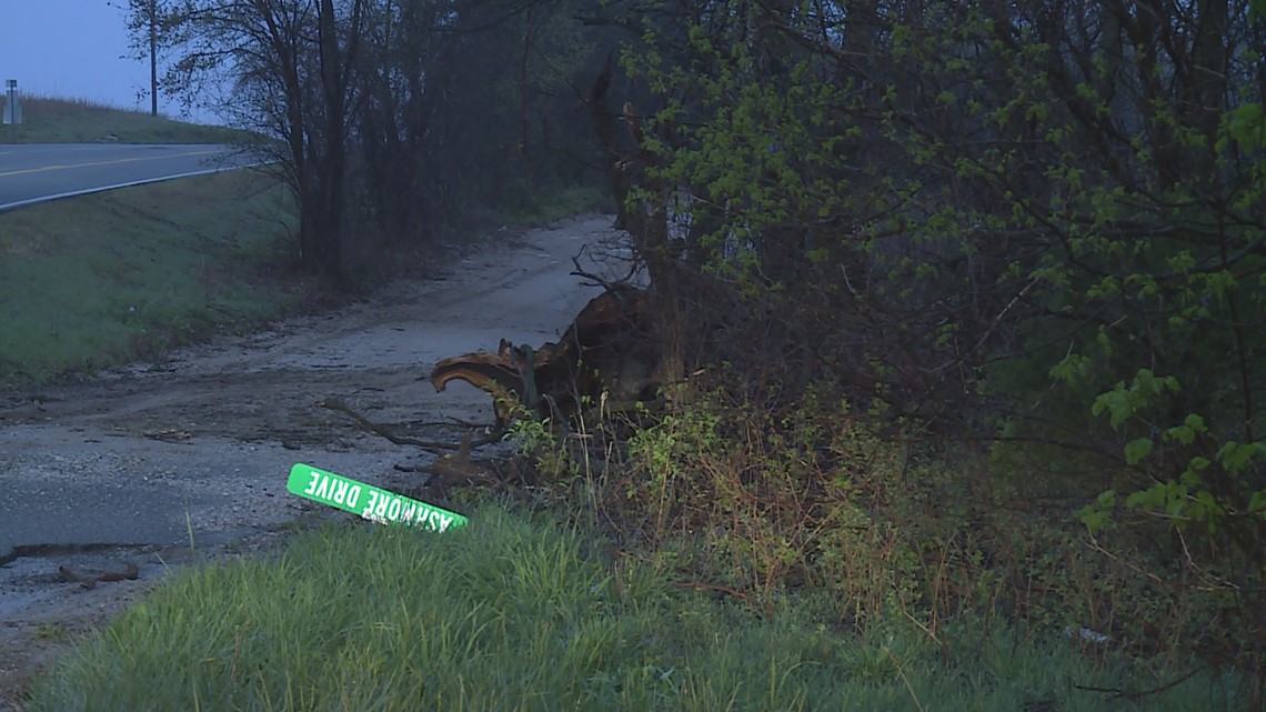
"This tornado developed north of Highway 62 over the far southeastern portion of Pea Ridge National Military Park. It moved east damaging the roof of two homes, destroying an outbuilding, and uprooting trees on Alvin Seamster Road. Tree damage was noted as far east as Pinebrooke Road, and the tornado dissipated before reaching Highway
62," NWS said.
No tornado warnings were issued for Benton County during the storms. The area was only issued a thunderstorm warning.
Benton County's Communications Director Melody Kwok confirmed that the county did see storm damage in Garfield. She said the road department cleared 33 trees from the roads across Benton County.
"Trees were uprooted or even snapped in places from the west side of town toward the west side of Pea Ridge National Military Park. The trees were all blown down to the east or east-northeast. Two tornadoes developed on the leading edge of this bowing line segment near Garfield," NWS said.


Related:
Watch 5NEWS on YouTube.
Download the 5NEWS app on your smartphone:
Stream 5NEWS 24/7 on the 5+ app: How to watch the 5+ app on your streaming device
To report a typo or grammatical error, please email KFSMDigitalTeam@tegna.com and detail which story you're referring to.

