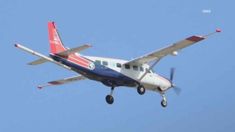
ARKANSAS, USA — The U.S. Geological Survey (USGS) will be conducting low-level flights over parts of Arkansas for nearly a year starting this month.
The low-level flights will occur in Benton, Carroll, Madison, Franklin, Crawford, and Washington counties. The flights will also occur over numerous counties in Kansas and Missouri.
According to a release from USGS, the flights will be for imaging geology in the region using "airborne geophysical technology."
"The purpose of the survey is to provide images that expand the fundamental knowledge of geology underpinning the Ozark Plateau physiographic region," USGS said. "By imaging surface and concealed geology, data from this survey will facilitate geologic mapping related to mineral resource potential."
The imaging will take place starting in early October and last around eight months, weather and wildlife permitting, according to USGS. The flights in Arkansas will largely be based out of the Rogers Municipal Airport.
The planes will be piloted by specially trained crew approved for low-level flying and traverse along pre-planned fight paths at around 260 feet above the ground, or around 1,000 feet in populated areas. Flights will only be done during daylight hours, USGS said.
According to the release, the planes are equipped with special equipment that, among other things, measure variations in the planet's "magnetic field and natural low-level gamma energy created by different rock types."
The equipment on the planes has no emissions with any risk to humans, animals, or plants, the release said, adding that no photo or video data would be collected.
The new data, which will be used to develop high-resolution 3D representations of bedrock composition and structure to depths more than 3,280 feet below the surface, will be made available to the public once the project is done.
"The 3D models and maps are important for improving our understanding of critical mineral resource potential, water resources, groundwater pathways near legacy mining areas, parameters for infrastructure and land use planning, and potential risks of naturally occurring radon," USGS said.
Watch 5NEWS on YouTube.
Download the 5NEWS app on your smartphone:
Stream 5NEWS 24/7 on the 5+ app: How to watch the 5+ app on your streaming device
To report a typo or grammatical error, please email KFSMDigitalTeam@tegna.com and detail which story you're referring to.