ARKANSAS, USA — Meteorological winter has arrived and official winter will begin on Dec 21st, but how will this winter shape up across Arkansas and Oklahoma? We've been breaking down what you can expect in our 5-part series Arctic Arkansas.
With less daylight across the northern hemisphere, we lose more heat and we gain heat from the sun. This cold air really bottles up over the chilled plains of Canada and the United States. The air is dense and dives south into the central USA, battling warm, humid air in the Gulf of Mexico. This battleground area fosters big winter storms bringing a mix of snow, ice, sleet, and rain across the country. The question is, how far south will these winter storms travel? Will they make it to Arkansas? What type of precipitation will fall? We have looked through all the available data to give some guidance on what we can expect this 2021-2022 winter season.
PART 1 -- Winter Outlook

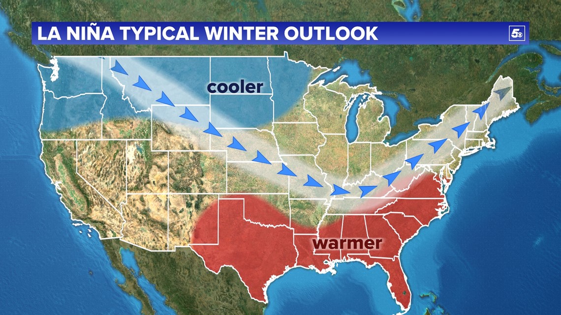
A moderate La Niña is shaping up across the eastern Pacific. This generally leads to a more variable polar jet stream, dumping cold air into the upper Mississippi River Valley. There will be a few chances for Arkansas to pick up some of this cold air.
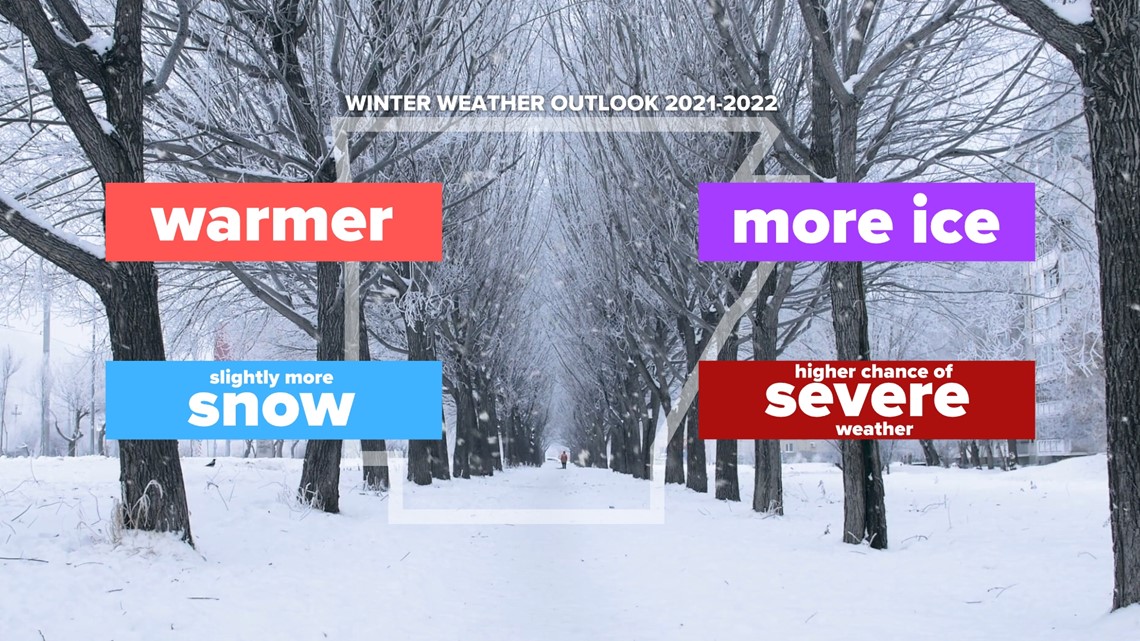
Our overall forecast:
-More warm days than cold days, overall warmer than average
-More total snow, but fewer snowfalls
-Higher ice chances
-More severe weather

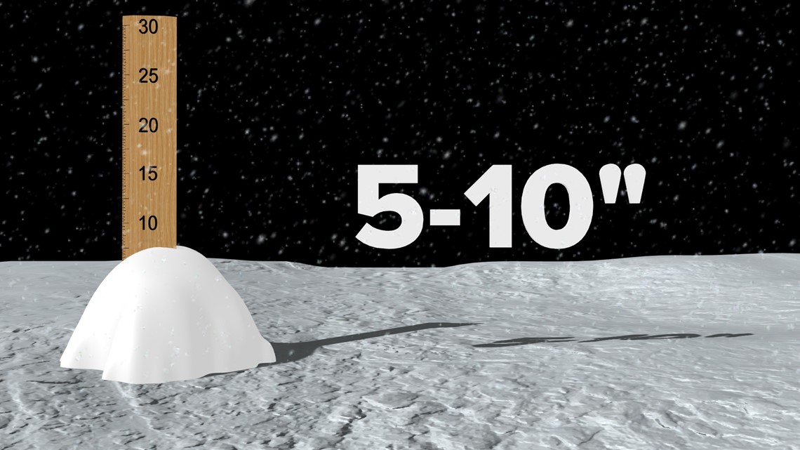
We generally get about 4-7 inches of snow in an average winter. We think it may be a bit higher than that this year.
For more details, read our full winter outlook:

PART 2 -- Winter Weather Folklore Forecast
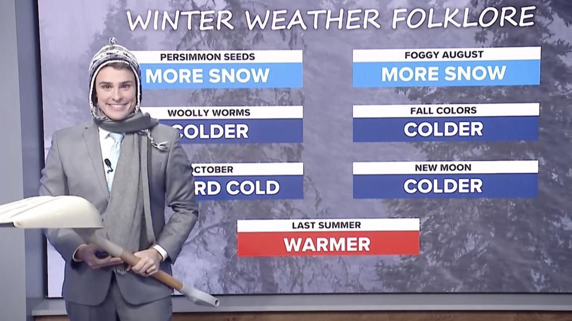
What does nature have to say? Modern meteorology has only been around since World War 2 with radar systems deployed by the English Channel watching for enemy aircraft. Prior to the 20th century, mankind has looked to nature for signs of what is to come for winter. You have sent in your reports and we are showcasing what winter weather folklore has to say for winter 2021-2022.
To see all the reports:

PART 3 -- Winter Weather Alerts
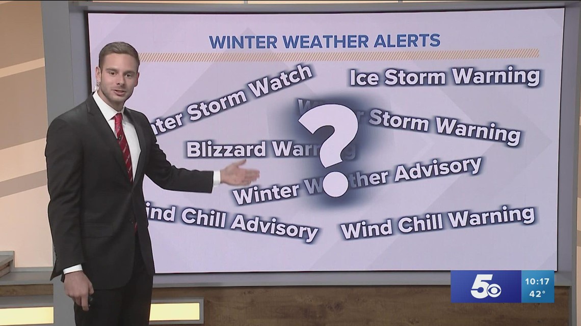
Winter alerts are confusing. With some many types of precipitations and impacts, it can get complicated quickly.
Watch -- A watch is issued farther out ahead of a winter storm arriving into Arkansas, but within 48 hours. The storm will likely have significant impacts to travel. Many things can change within 48 hours so the watch gives a heads up that wintry weather is possible soon.
Warning -- A warning is issued when hazardous winter weather is happening or is just about to happen. Significant travel and power impacts are likely. These situations can be life-threatening.
Advisory -- An advisory is issued during weaker winter storms. There will likely be inconveniences, but the weather is not expected to be serious enough for a warning. Lower amounts are usually in play for snow or ice.
For the criteria on each type:

PART 4 -- Types of Winter Precipitation
The type of precipitation is dependent on the vertical temperature profile of the atmosphere during that time above the ground. There are four different types we focus on: rain, freezing rain, sleet, and snow. For each to happen, there has to be certain atmospheric conditions to be met.
To see how temperature plays a role:


PART 5 -- Wet Snow VS Dry Snow
Snow is just water in ice crystal form. The more water a snowflake has, the stickier it is and will more easily compact and form whatever shape you want to make. We can measure how much water there is inside a snowflake by melting it. But we can't measure every snowflake that falls in a snowstorm, so we use snow ratios to figure out how wet or dry a snow is.

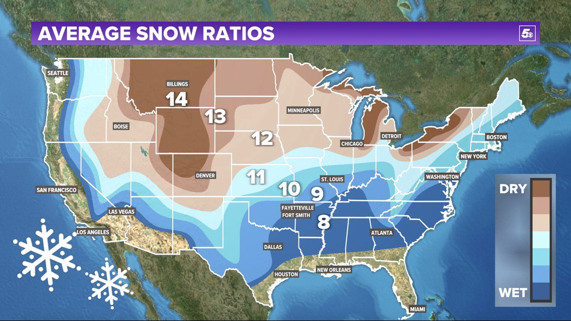
Snow ratios can change over time. Here is how we forecast that change:
FULL ARCTIC ARKANSAS
-5NEWS Weather Team

