ARKANSAS, USA — Temperatures are in the 60s and 70s on Thursday, Feb. 15, so winter must be over, right? For Arkansas, the short answer is no.
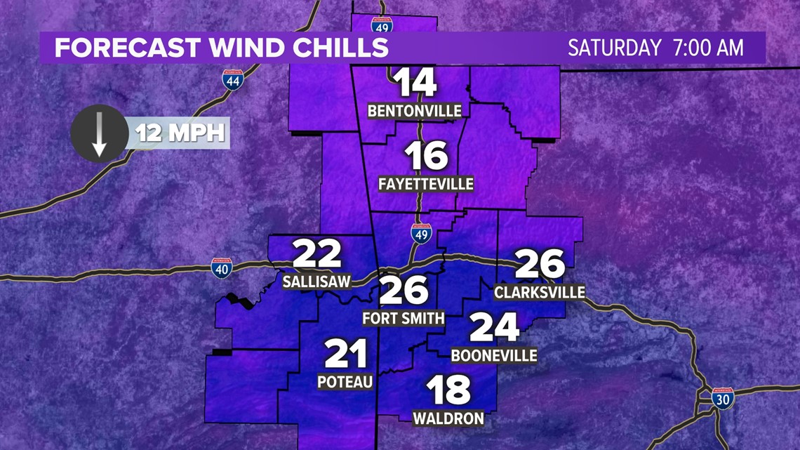
We have another cold front to talk about this weekend. More showers are coming back into the forecast and we will definitely be feeling it Saturday morning.
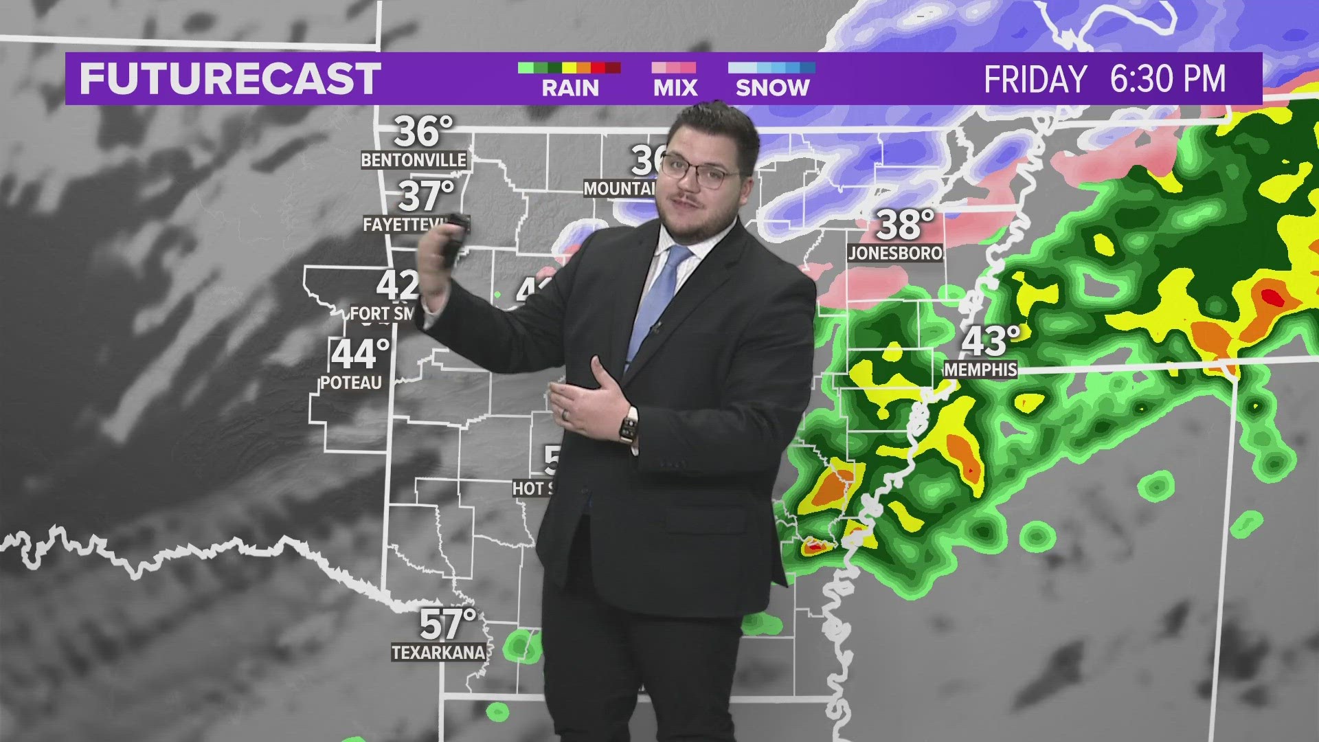
On Friday afternoon, we are expecting scattered showers and a few isolated thunderstorms. As temperatures drop, that rain has a chance to transition over into some sleet pellets or even some snowflakes, mainly across Northwest Arkansas.
Cooler air is coming back this weekend
We still have around 30 days until the first day of spring, but spring-like weather is in the future! This weekend, cooler air is filtering in with this next cold front.
We could drop down as low as the 20s by Friday evening, and by Saturday morning, wind chill values are expected to be in the teens.
Daytime highs on Saturday and Sunday should be in the 40s and 50s, but morning temperatures will be very chilly.


Now, to the good news!
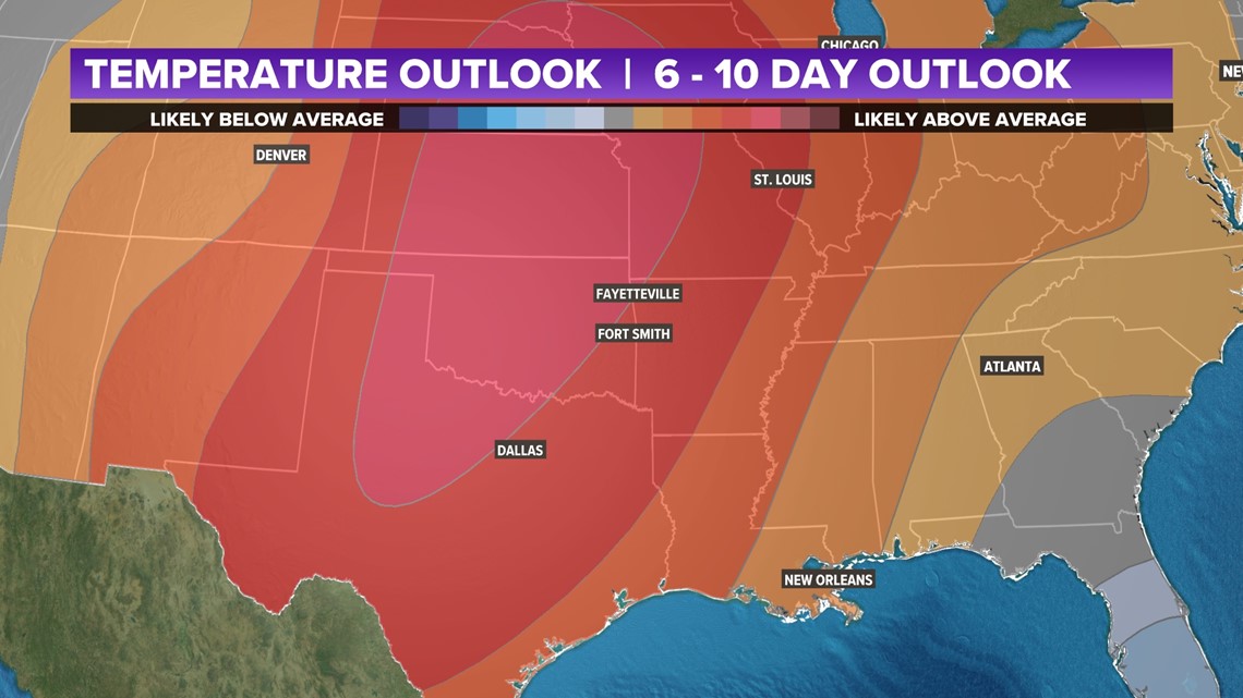
Long-range models are suggesting that warmer temperatures will be back pretty quickly. The high 60s and 70s will be back into the forecast as soon as next week. High pressure is moving in by the weekend and we will see plenty of sunshine, and eventually warmer temperatures.


We will most likely continue to see this trend, at least until we get well into spring. We will continue to see warmer temperatures stick around for longer periods of time before a cold front comes around to bring some storm or snow chances.
Watch 5NEWS on YouTube.
Download the 5NEWS app on your smartphone:
Stream 5NEWS 24/7 on the 5+ app: How to watch the 5+ app on your streaming device
To report a typo or grammatical error, please email KFSMDigitalTeam@tegna.com and detail which story you're referring to.

