I've seen this a handful of times in my career but it's not something that happens very often in our area.
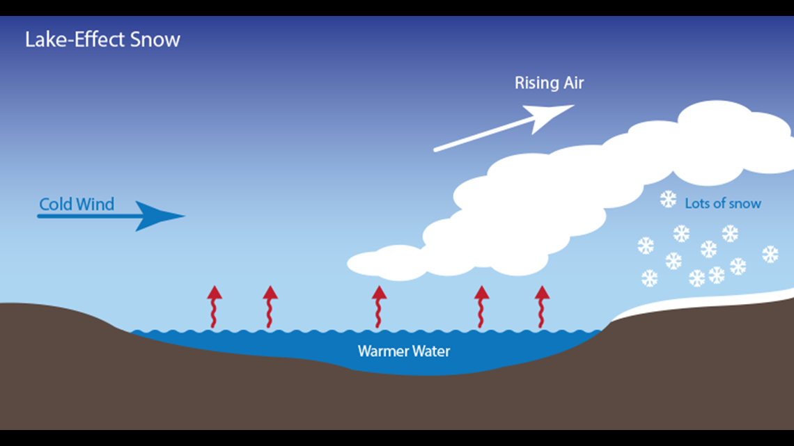
Cold arctic air blowing over a warmer lake causes cumulus to develop downwind from the lake and potentially flurries or snowfall.


The temperature difference between the lake and the air aloft must be at least 13ºC for lake effect snow to form; that's about 55º F.
At last check, the temperature of Beaver Lake is currently near 48º. The air at the surface made it down to 0º this morning but just about the ground at 2-3,000ft the temperatures was a frosty -23ºC or around -9ºF which put us in that threshold to create enough instability for clouds and flurries. Technically, this produced CAPE of around 600 j/kg.


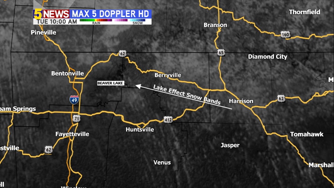
The end result was numerous streaks of cumulus and flurries caused from Beaver Lake that extended southeast into Madison county. Likely an increase in flurries this morning around War Eagle & Clifty, too.
-Garrett

