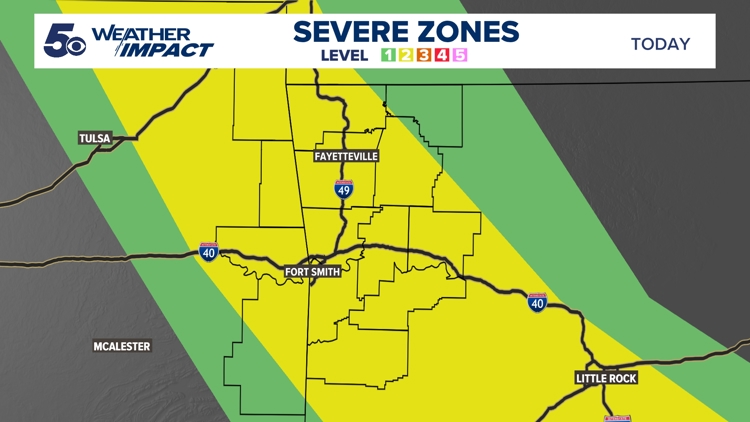
ARKANSAS, USA — Storms are already back in the forecast for this evening. Similar to Friday's storms, the chances of getting severe weather are not guaranteed, but if these storms survive the trip south, we could have damaging winds and hail.
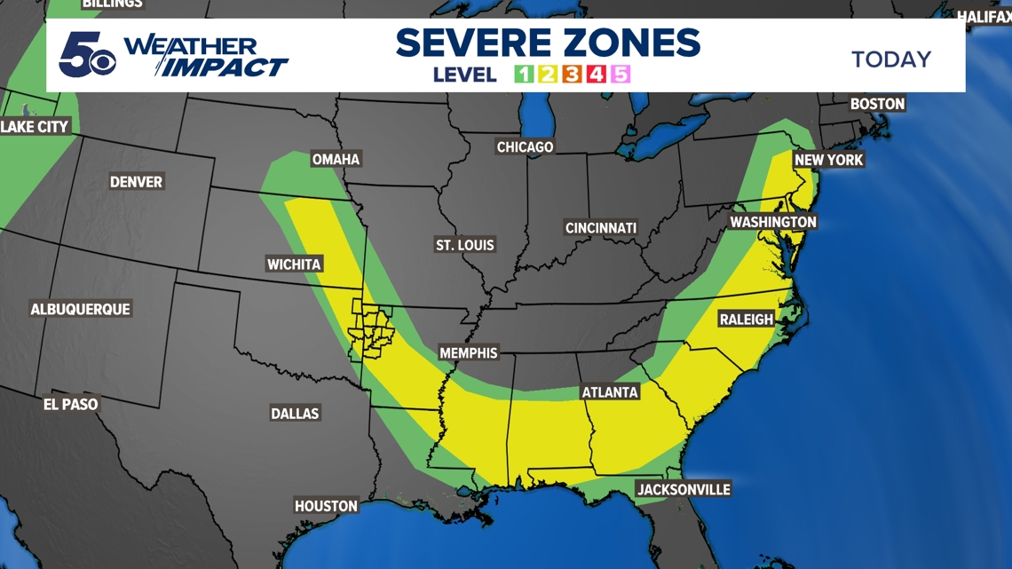
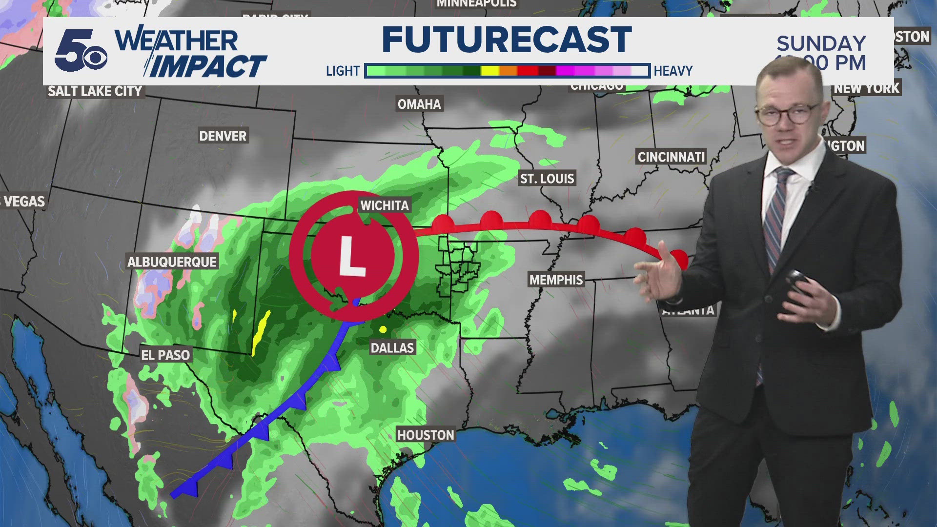
A cold front is moving south across most of the southern United States. It's not just us who has a storm threat tonight as the Storm Prediction Center has drawn an unusually large zone for severe weather. Folks from Nebraska to the Gulf of Mexico and up the East Coast have a chance to see severe weather.


Threats this evening
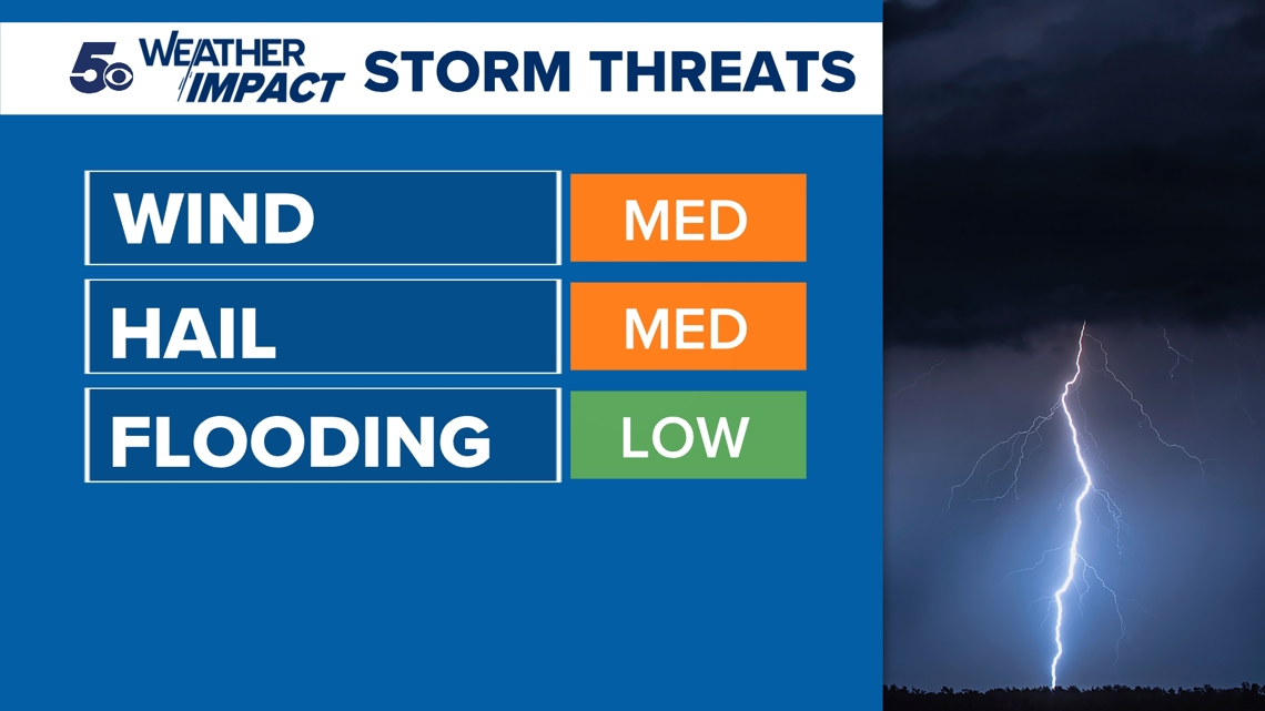
We are going to be very cautious with this storm chance as we could see some isolated thunderstorms develop. It also may not survive. If thunderstorms do survive and push through 5COUNTRY, our main concern is going to be the chances of damaging wind and hail. Wind gusts could peak between 60 and 70 mph, while we could see hail cores the size of quarters or larger. Since the severe zone is so large, the 5NEWS Weather Team is tracking this with caution throughout the evening.


Timing this evening
Our main window for severe weather is going to be between 7 p.m. and midnight. These storms will be firing behind the cold front, so the speed of the front could alter our timeline. There is also another chance for strong to severe thunderstorm development overnight into Monday around 3 a.m. Once the cold front pushes through overnight Sunday, cooler air will stick around through most of this week.
In case of severe weather, the 5NEWS Weather Team will be posting updates and streaming on 5+ throughout the evening.
Watch 5NEWS on YouTube.
Download the 5NEWS app on your smartphone:
Stream 5NEWS 24/7 on the 5+ app: How to watch the 5+ app on your streaming device
To report a typo or grammatical error, please email KFSMDigitalTeam@tegna.com and detail which story you're referring to.


