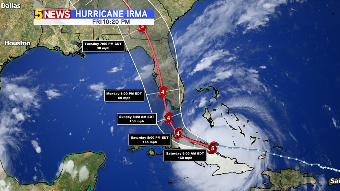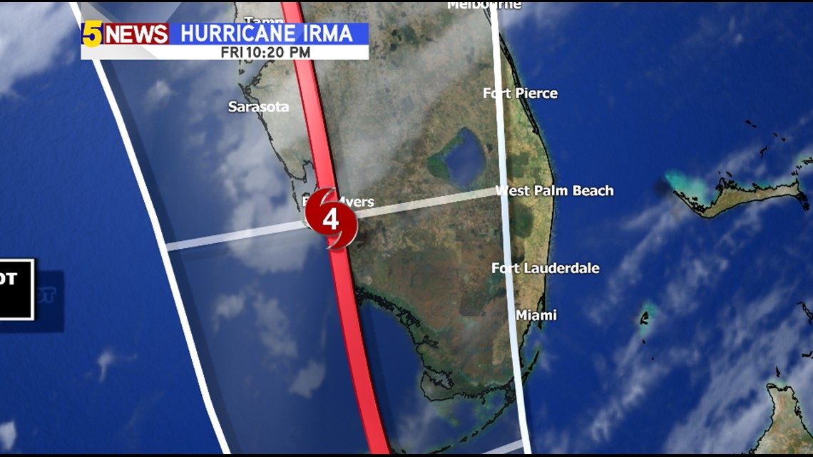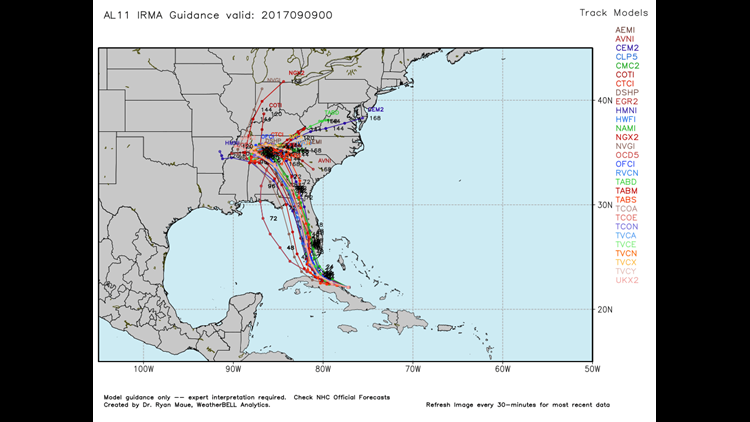

The latest track of Hurricane Irma has again shifted more to the west.
This is likely due to frictional interaction over Cuba as the storm made a brief landfall late Friday night.
Once the storm reemerges, it’ll take aim on Florida with a landfall likely late Saturday into Sunday.


The latest track is significantly more westward with places like Fort Myers instead of Miami taking the worst of the storm.
The orientation of the bays and inlets relative to the storm track will also cause more storm surge on the NE side compared to the storm passing on the east side of the Florida Peninsula.
-Garrett


