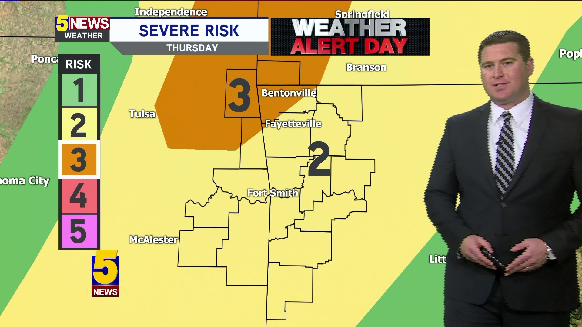

The Storm Prediction Center has placed NW Arkansas and NE Oklahoma in an Enhanced Risk area for stronger storms. This is the third level on a scale of 1-5.
Storms in the Enhanced region will have an increased threat for rotation. The time for this would be late Thursday evening; perhaps after dark.
As the cold front merges with the dryline, storms will take on more of a line shape with a decreased risk of tornadoes but increased risk of wind damage farther south into West-Central Arkansas. Isolated spin-up tornadoes will be possible on the leading edge of the line as the front overtakes our area.
The Enhanced Region will likely be adjusted on Thursday morning. The exact placement will not be known until after the morning round of showers has exited our area.
Check back for updates...
-Garrett

