FAYETTEVILLE, Ark. — Winter weather hit Northwest Arkansas and the River Valley this week. Below is a live blog with the latest updates around the region and helpful links to have to monitor travel conditions and power outages (scroll to the bottom of the article). Remember to send us your winter weather photos/videos through the Near Me section of the 5NEWS app or by text to (479) 785-5000.
Friday
The sun is starting to come out across NW Arkansas and the River Valley this afternoon, which is helping the snow melt just a little bit on some main roads. The side roads still seem pretty tough to drive on.
Highs today will only top off in the upper 20s/low 30s for most of us.
The majority of the snow will start to melt by the end of the weekend - temperatures will struggle to go above freezing Saturday, and if they do warm up above freezing, it won't be for long, so Sunday is the day most of the snow will start to melt, since we will be in the 40s.
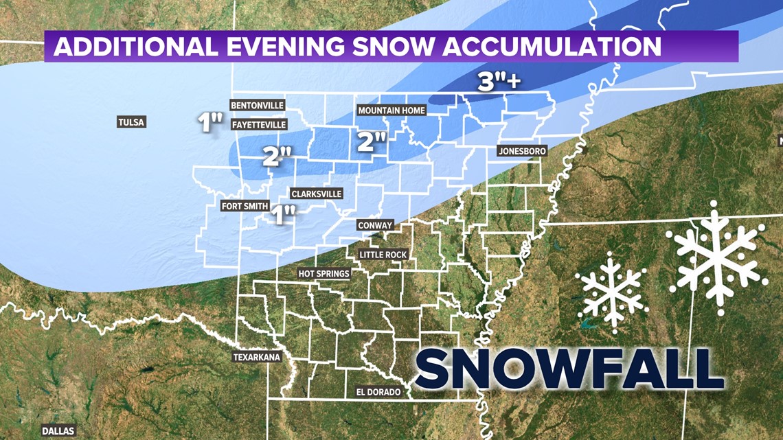
Just a few leftover snow showers this Friday morning before we finally say goodbye to this winter storm. A light dusting to a half-inch of additional snow will be possible mainly before 9 a.m.
Road conditions will start to improve this afternoon with clouds giving way to afternoon sunshine. It will still be cold with highs in most areas below freezing in the upper 20s to low 30s.
Cold tonight into Saturday morning with lows in the single digits! Warmer afternoons with more sunshine into the weekend. Highs will climb into the 30s and 40s which will really start to melt that snow and ice away.
- Snow showers mainly before 9 a.m.
- Clouds giving way to afternoon sunshine
- Highs in the upper 20s to low 30s
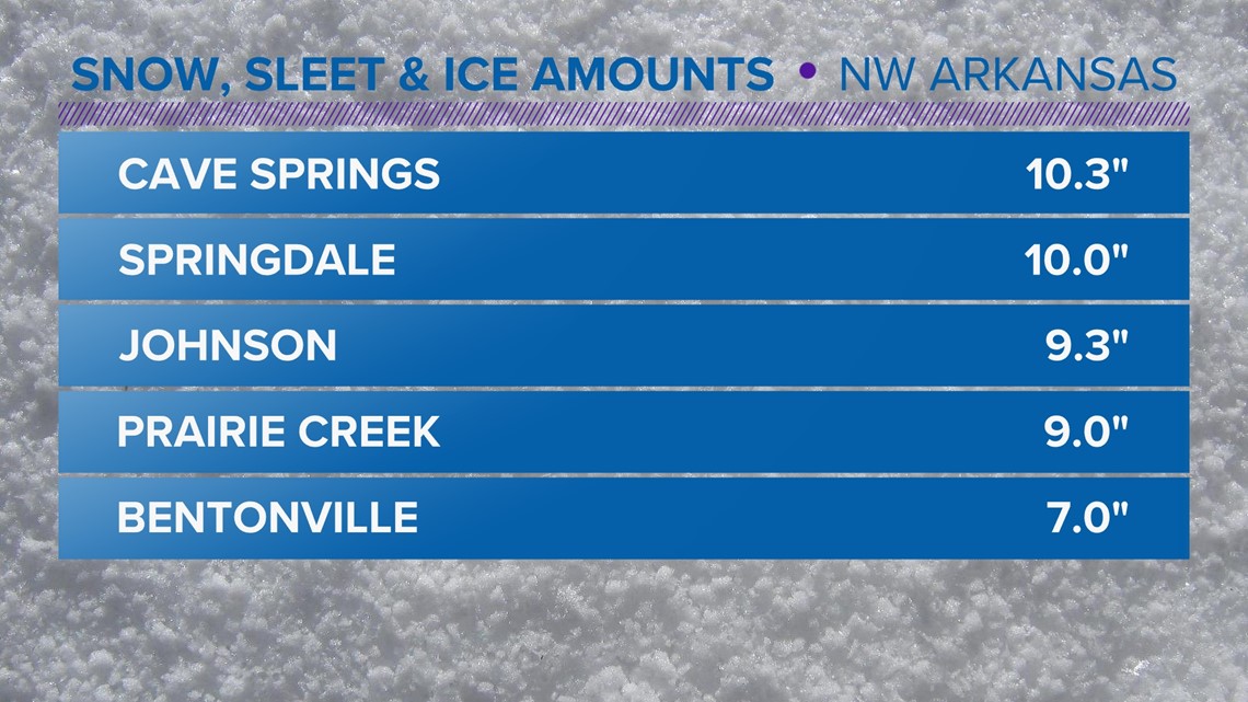
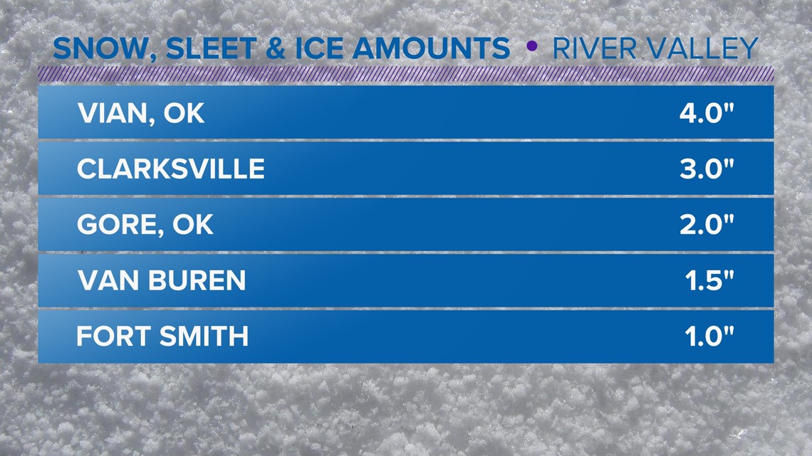
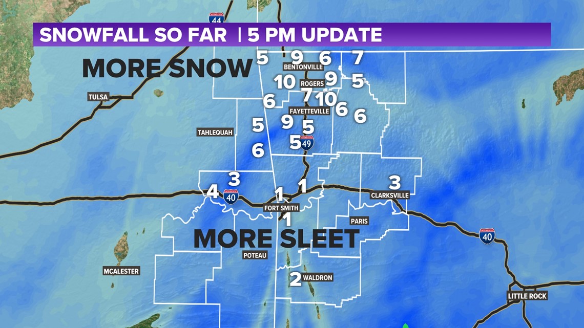
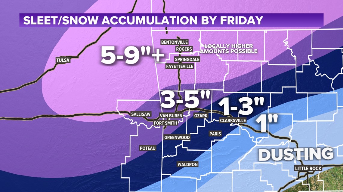
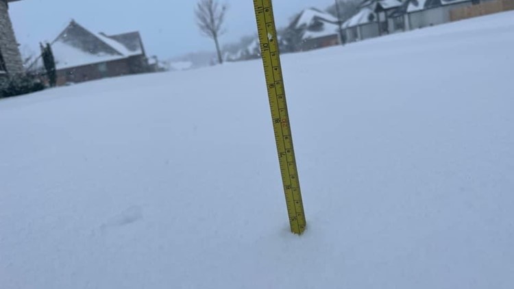
HOW MUCH SNOW DID WE GET?
Northwest Arkansas got the most snow while the River Valley picked up a lot of ice and sleet. NWA ranged from 5-10 inches.

The River Valley ranged from 1-3" of sleet and snow. Sleet doesn't accumulate as snow does. Its small grains fill into the ground more like sand so it doesn't look like it accumulated as much.

Thursday
This storm is slowly wrapping up. The heavy snow is gone but flurries will continue tonight. We should be dry by sunrise on Friday with sunshine breaking out later in the afternoon.
The latest snowfall totals as of 5 p.m. are below (still increasing, slowly with flurries):

Another round of snow may try to bring just a bit more snow. Roughly an inch is possible throughout the night.

SWEPCO is reporting just under 165 power outages as of 3 p.m. Most of the outages in Arkansas are Northwest Arkansas at this time. Click here for the outage map.
Click here for the Ozarks Electric outage map and click here for the OG&E power outage map.
Wednesday
Sleet continues to hit Northwest Arkansas but will change to snow overnight. Ice and sleet in the River Valley will switch to snow before sunrise on Thursday.
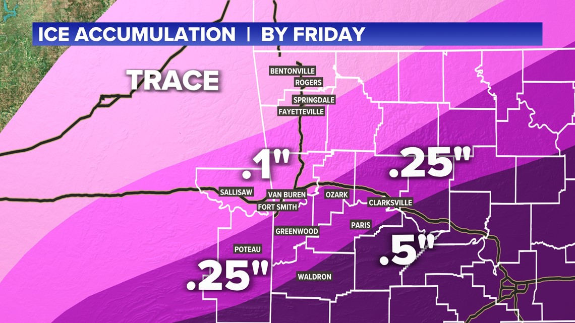
A winter storm WARNING is in effect for all of Northwest Arkansas and the River Valley. Significant ice and snow accumulations will be likely. Warnings are in effect in both Northwest Arkansas and the River Valley.
The ice and snow are about to begin. We have the latest projections on ice and snow. With a colder forecast, heavier snow is likely in both Northwest Arkansas and River Valley. Minimal ice accumulations are forecasted for NWA with 0.25 - 0.50" inches of ice expected for the River Valley before snow begins to fall.
ICE ACCUMULATION

SNOW ACCUMULATION
The heaviest snow will fall from Sallisaw to Fort Smith, then north to Fayetteville, Springdale, Rogers, and Bentonville.

Sebastian County Emergency Management is working with local churches and has identified several warming centers they’ll open if needed. They aren’t releasing that info yet so people don’t start showing up. These would open in the event of power outages and similar situations. Once they open that information will be pushed out through emergency management and through media outlets.
If someone is in need of immediate assistance right now they would need to contact Sebastian County emergency management at (479) 783-3932.
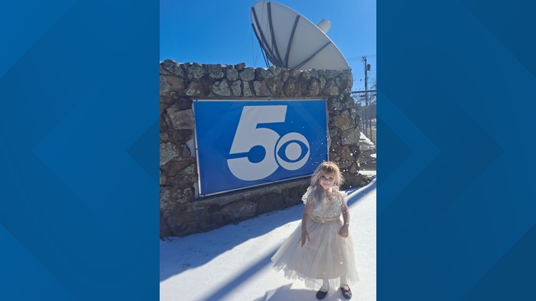
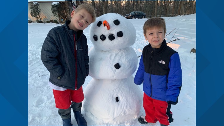
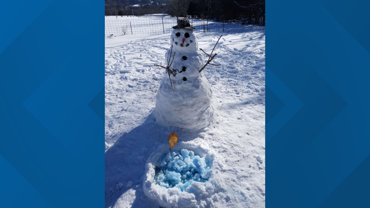
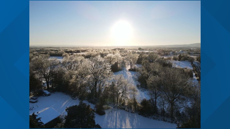
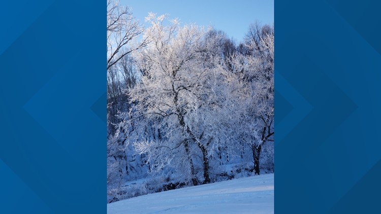
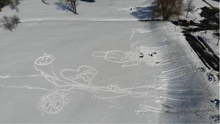
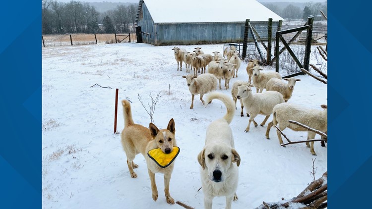
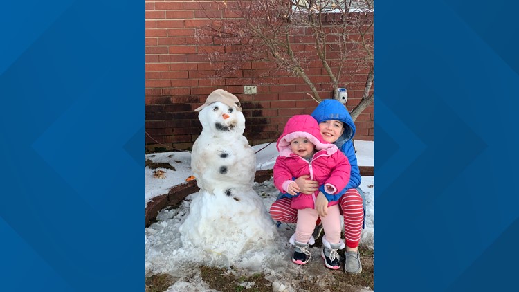
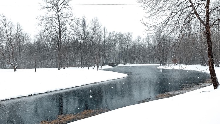
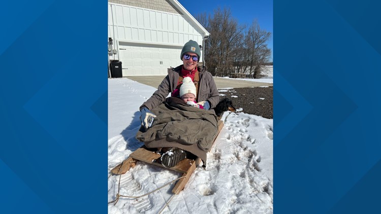
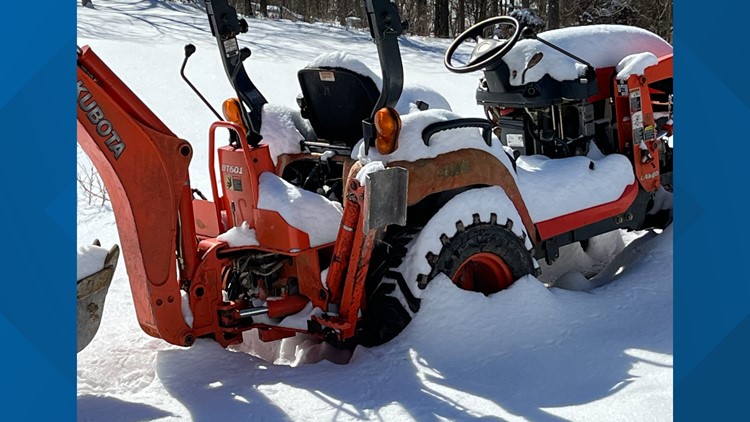
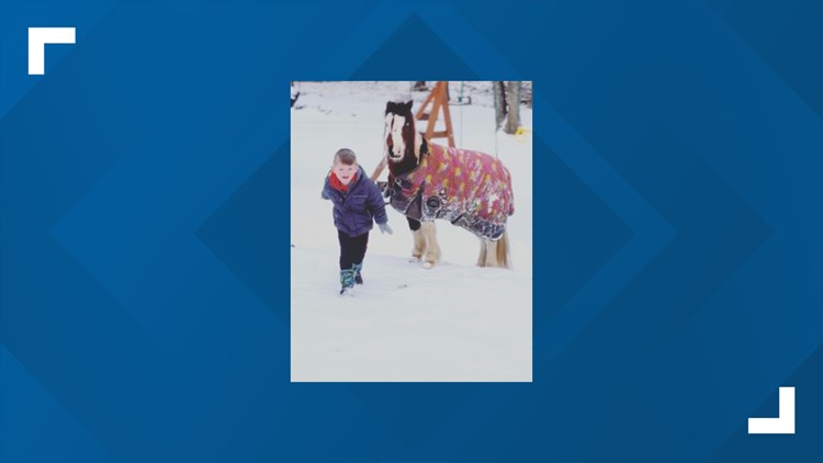
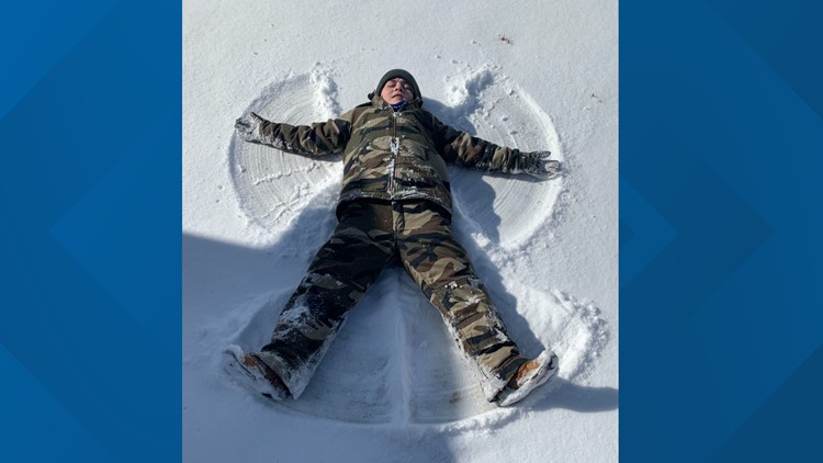
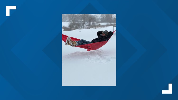
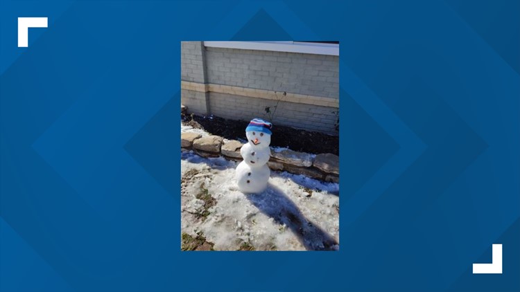
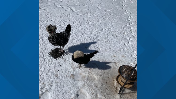
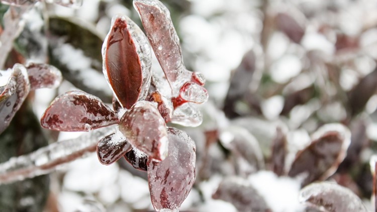
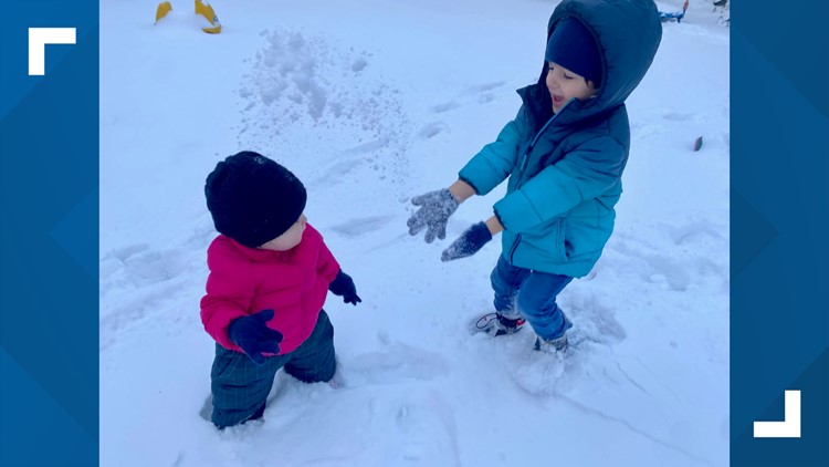
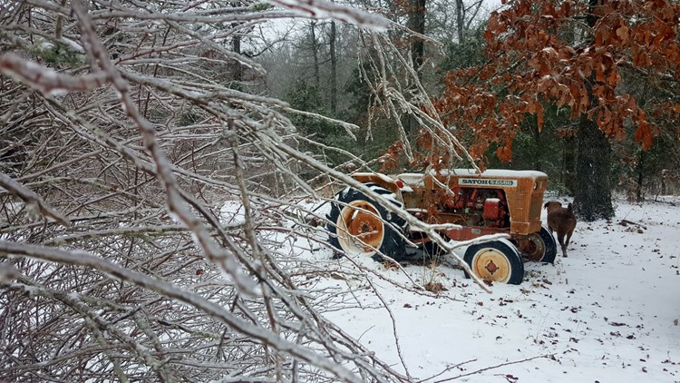
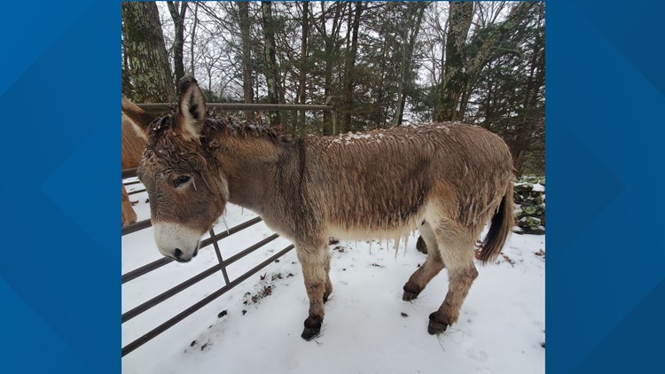
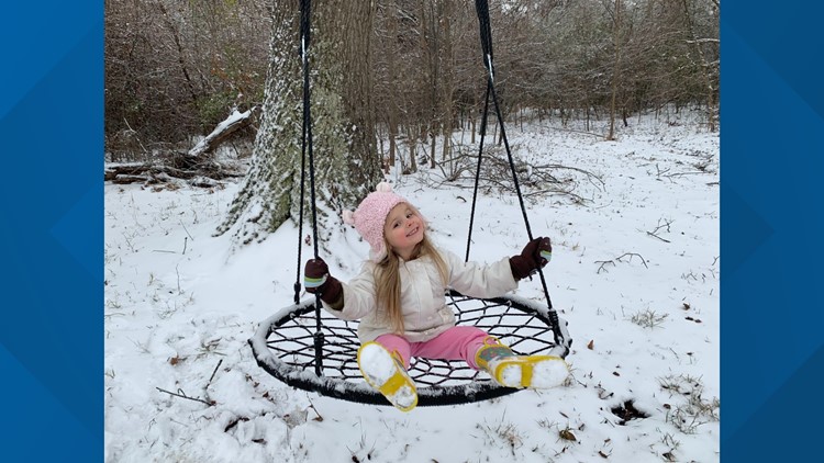
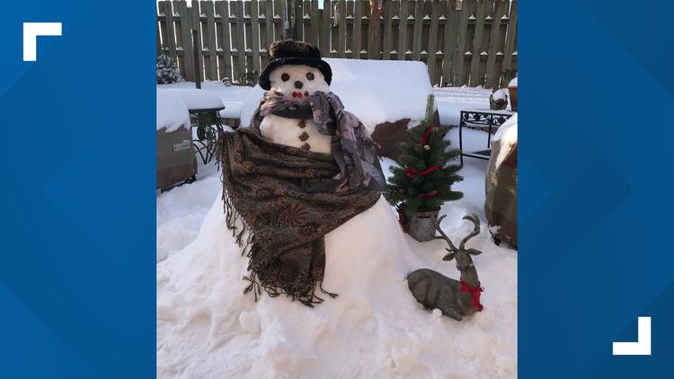
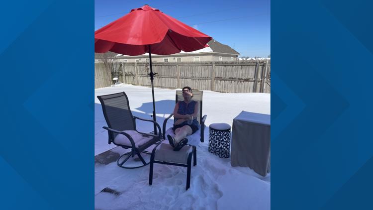
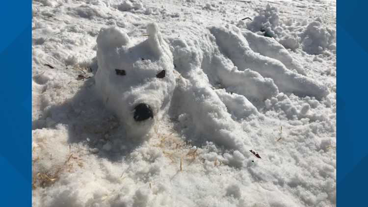
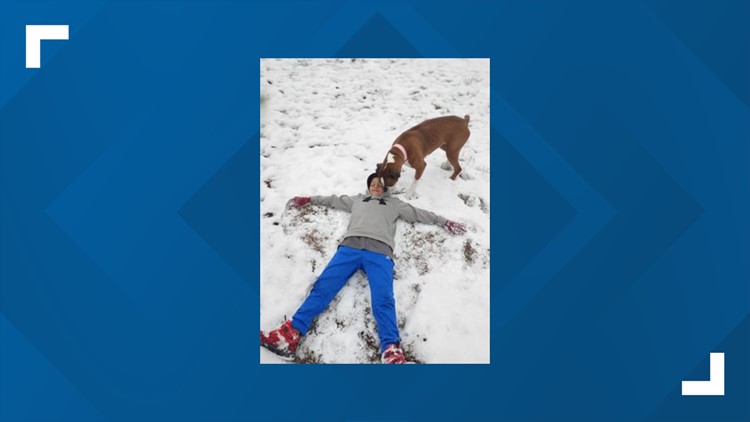
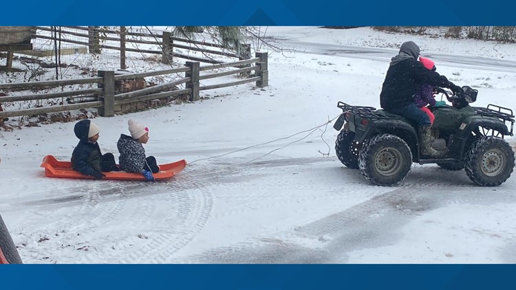
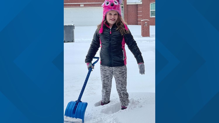
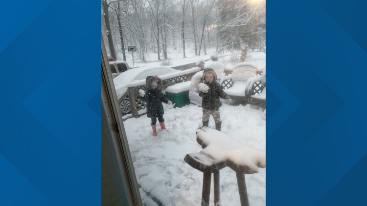
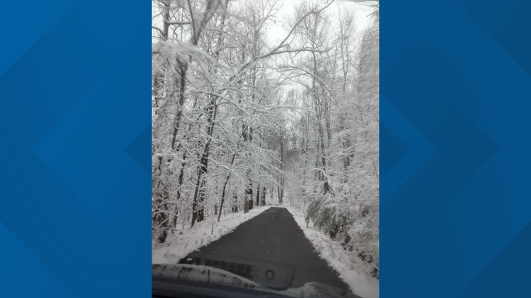
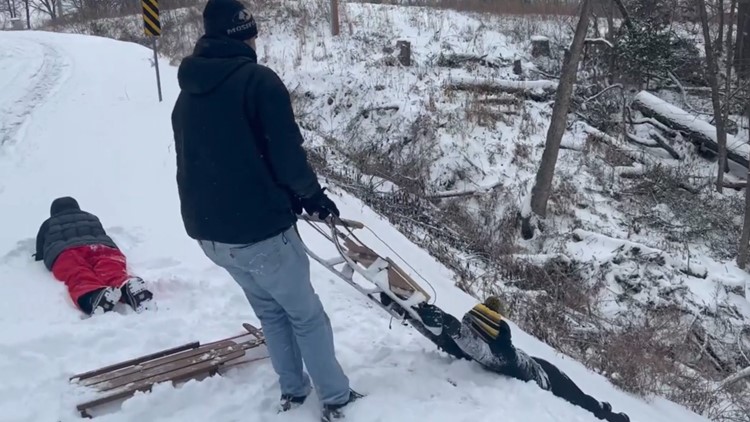
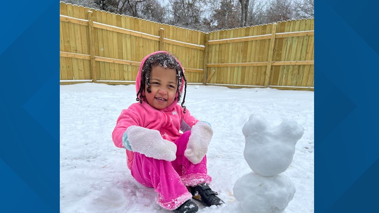
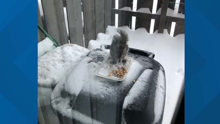
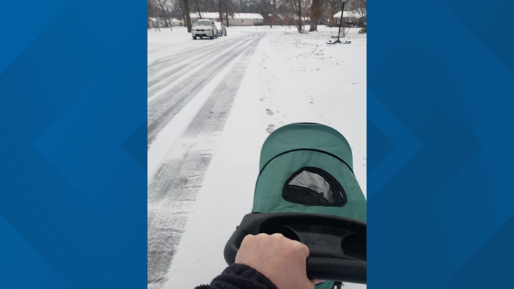
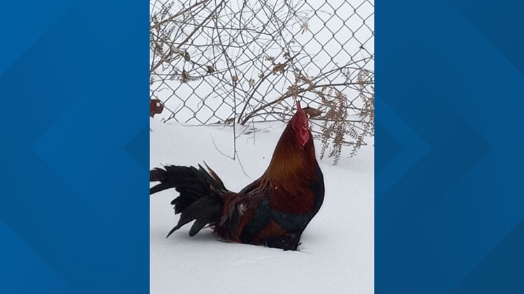
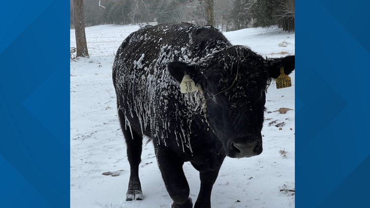
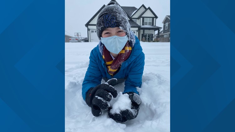
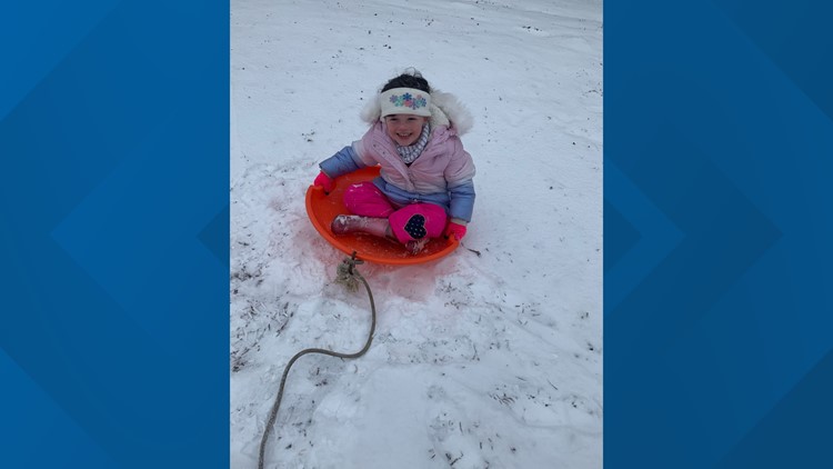
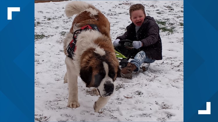
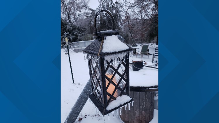
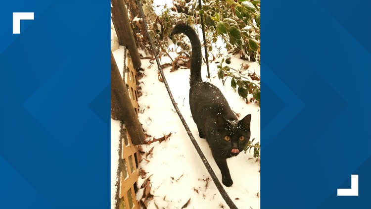
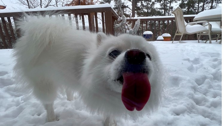
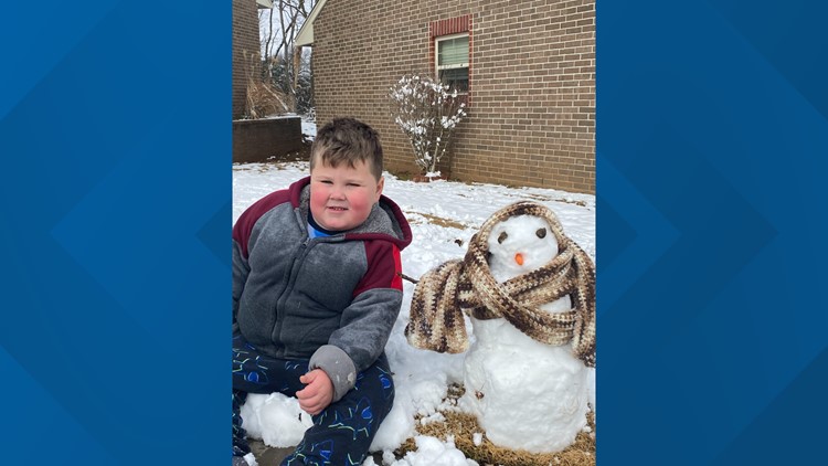
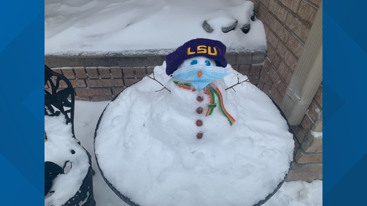
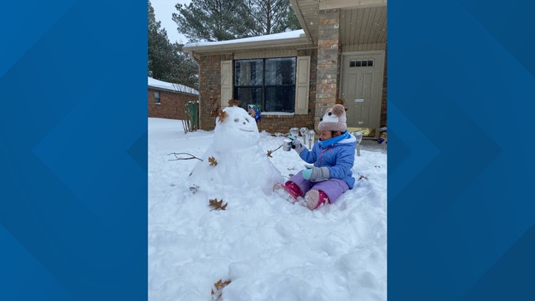
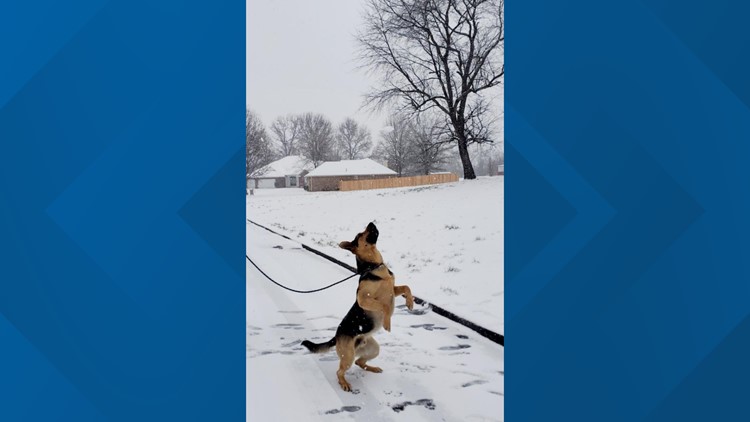
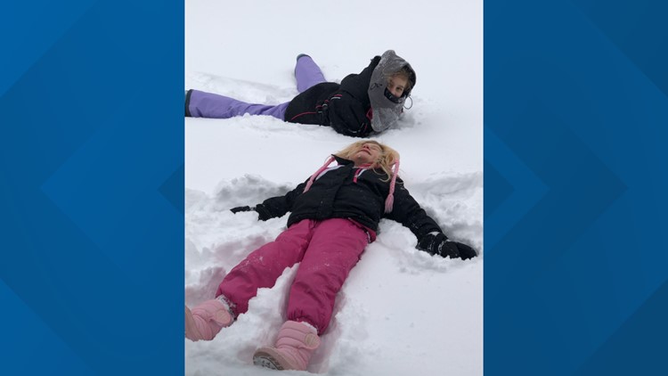
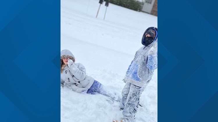
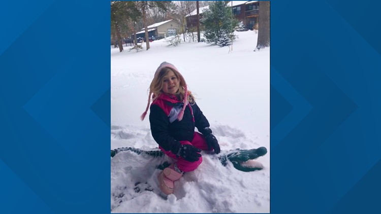
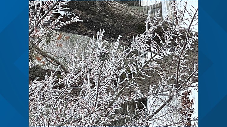
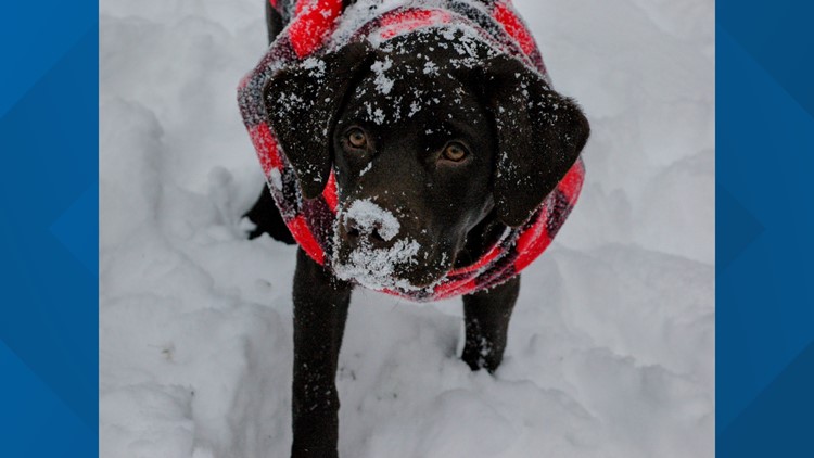
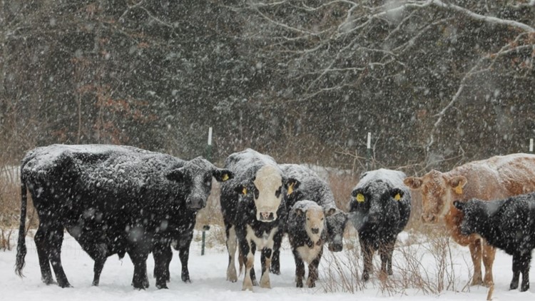
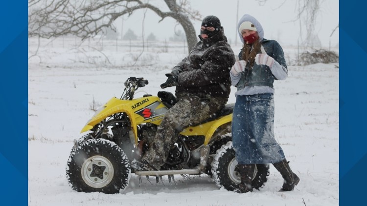
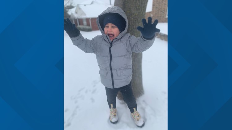
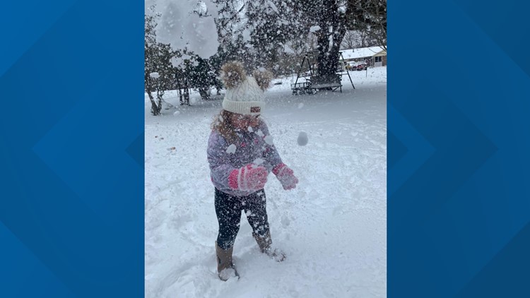
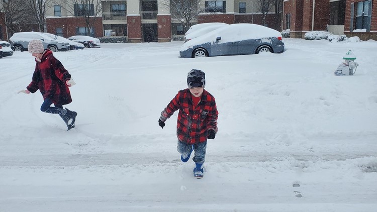
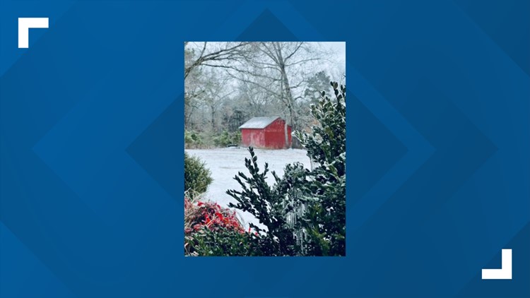
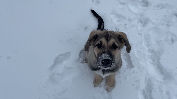
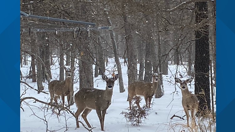
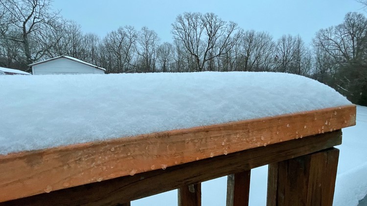
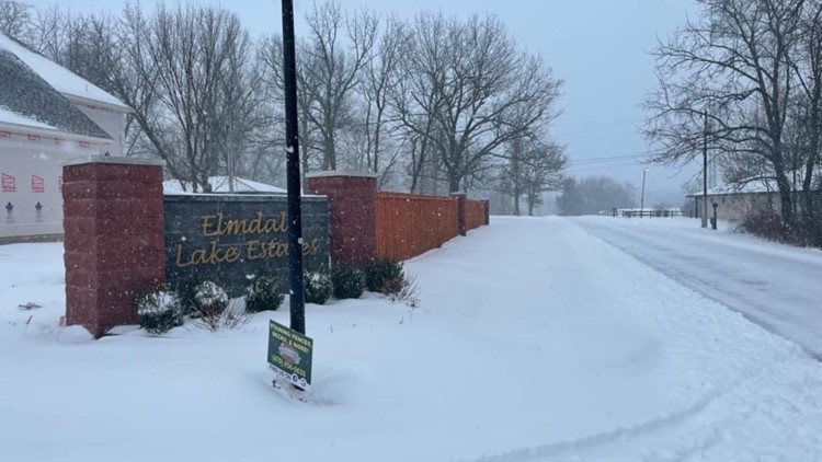
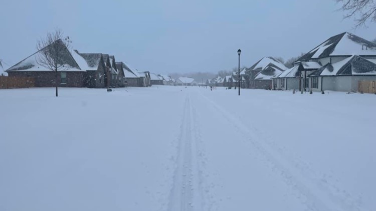
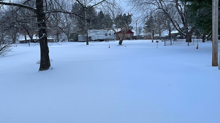
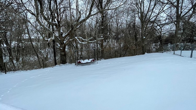
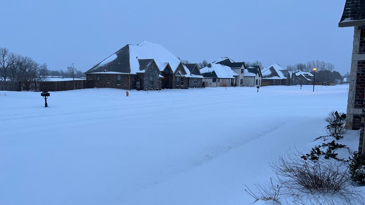
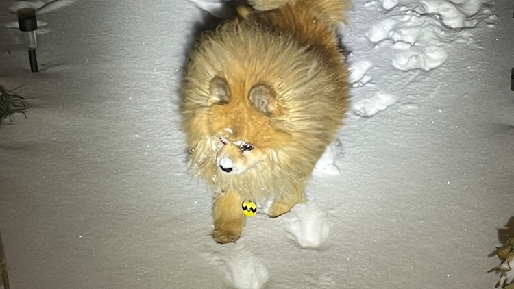
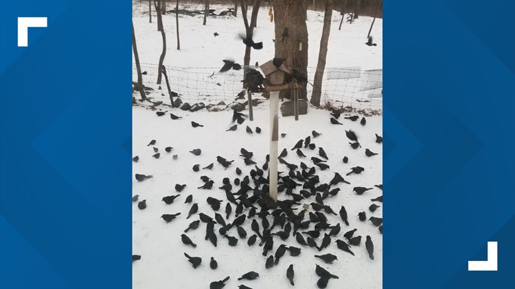
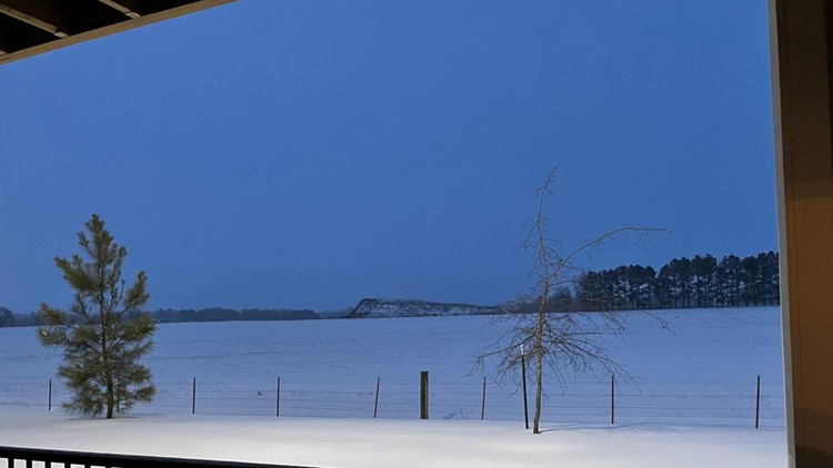
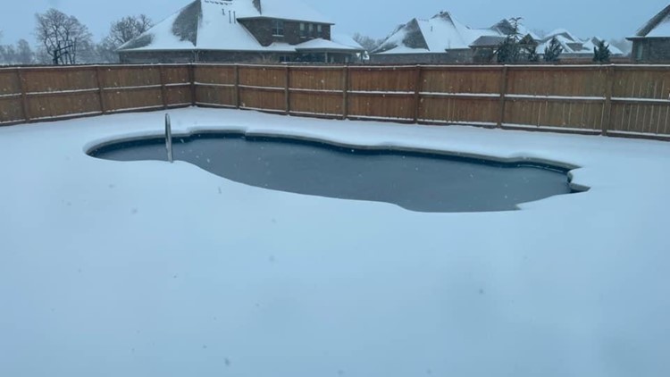
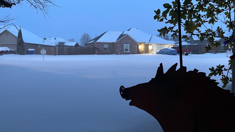
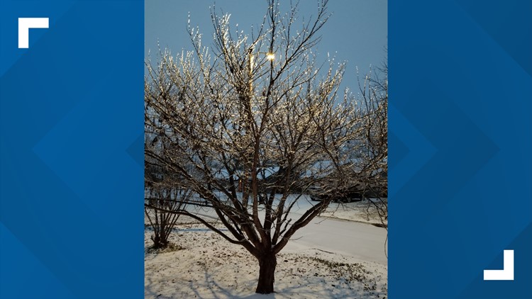
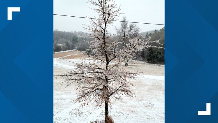
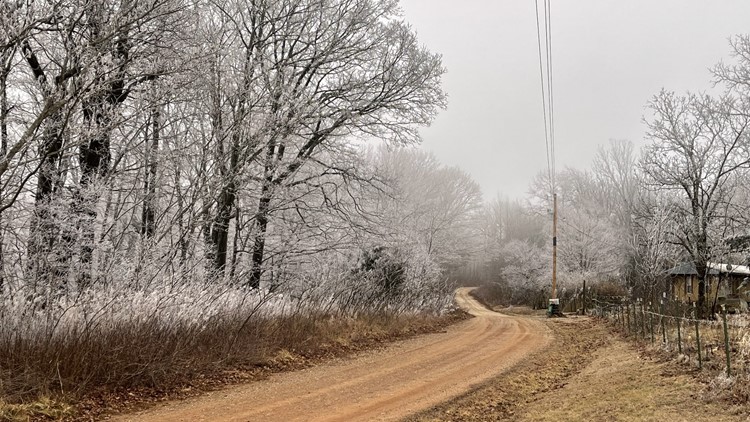
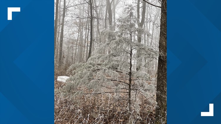
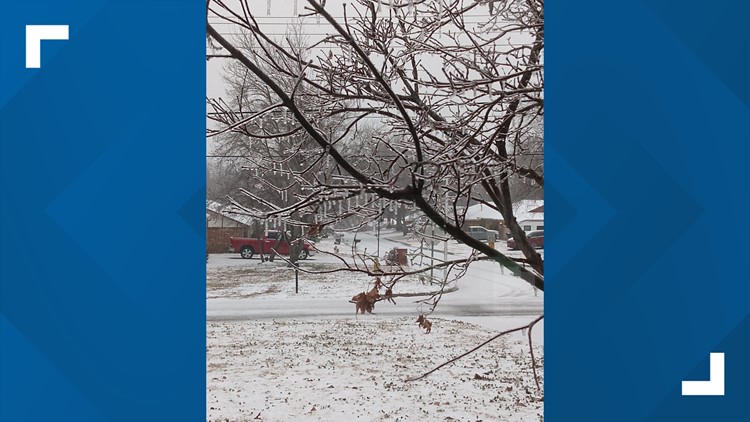
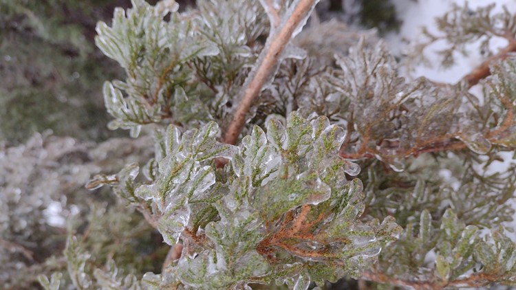
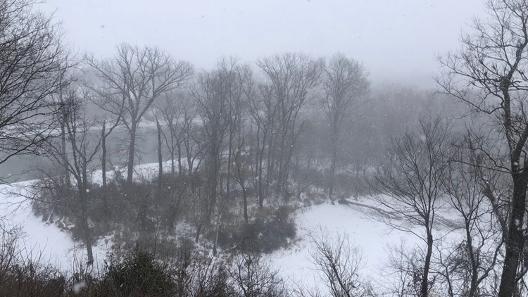
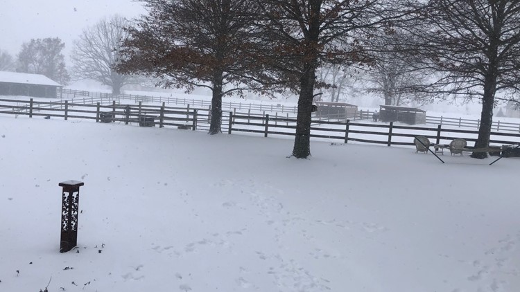
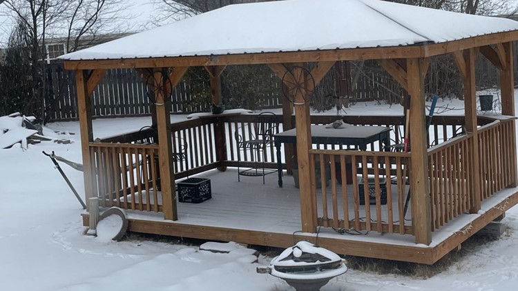
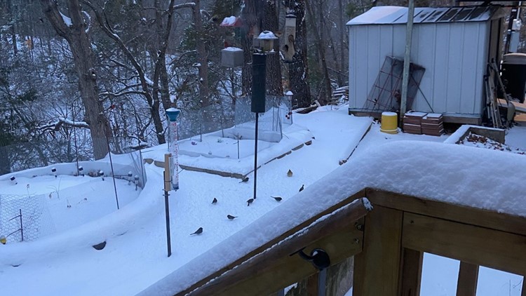
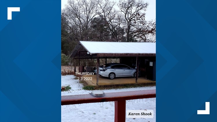
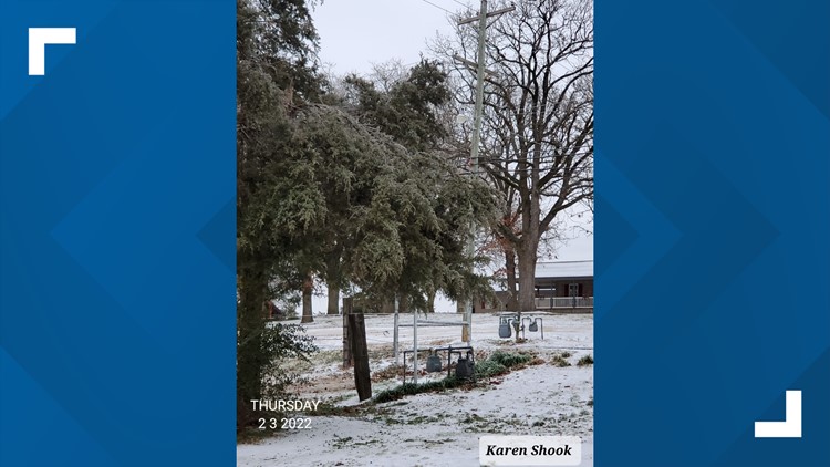
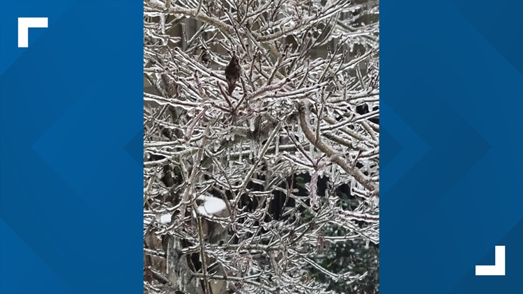
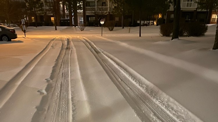
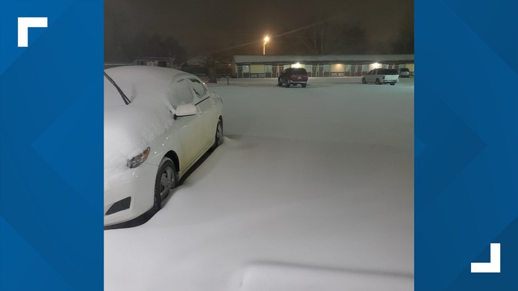
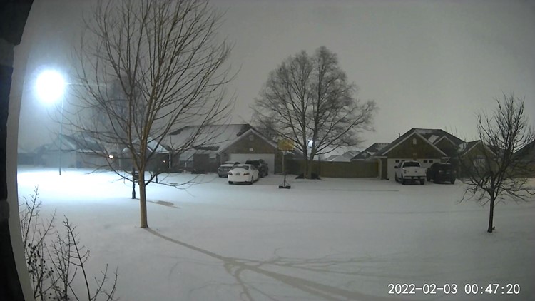
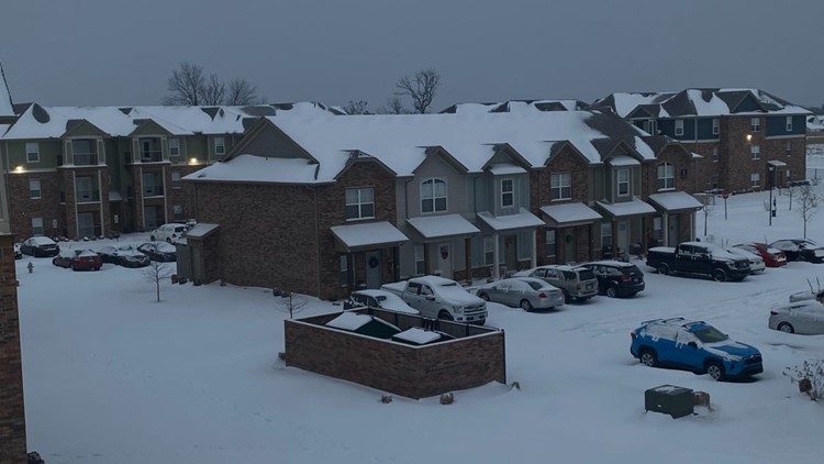
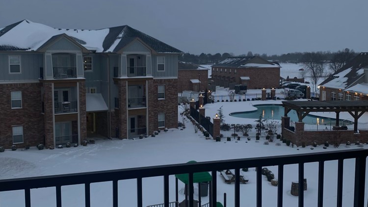
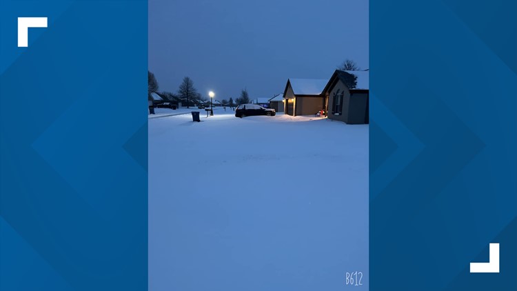
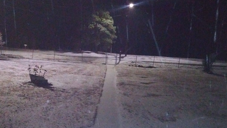
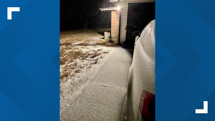
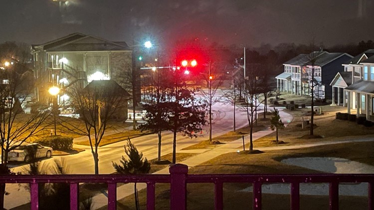
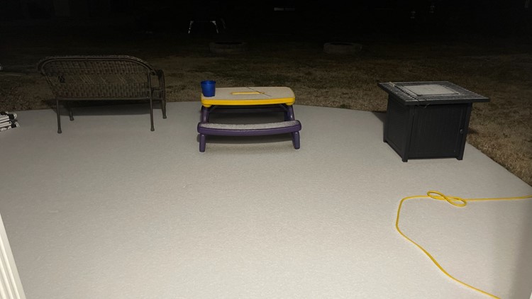
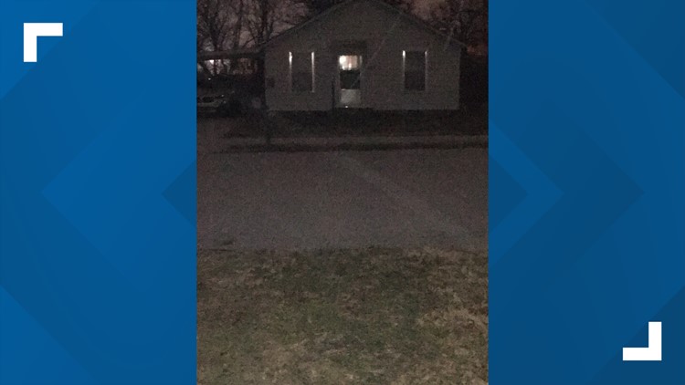
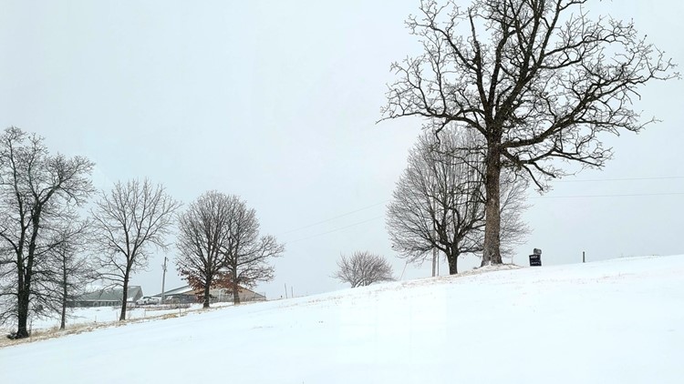
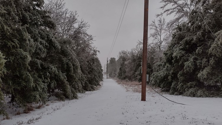
Your Photos: Winter Storm February 2022


Important links to save
XNA Arrivals/Departures
Road Conditions - Arkansas Department of Transportation
https://www.idrivearkansas.com/ (live cameras and road conditions)
POWER COMPANIES
SWEPCO
OZARKS
ARKANSAS VALLEY ECC
BLACK HILLS
CARROLL
OG&E
RELATED: Your pipes froze - What to do next
DOWNLOAD THE 5NEWS APP
DOWNLOAD FOR IPHONE HERE | DOWNLOAD FOR ANDROID HERE
HOW TO ADD THE 5NEWS APP TO YOUR STREAMING DEVICE
ROKU: add the channel from the ROKU store or by searching for KFSM in the Channel Store.
For Fire TV, search for "KFSM" to find the free app to add to your account. Another option for Fire TV is to have the app delivered directly to your Fire TV through Amazon.
To report a typo or grammatical error, please email KFSMDigitalTeam@tegna.com.